
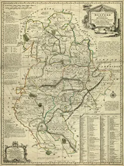
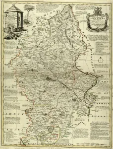
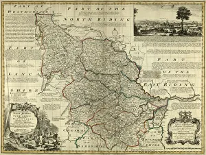
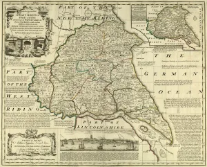
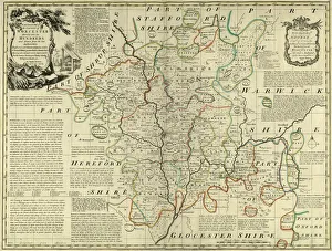
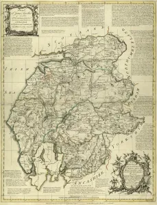
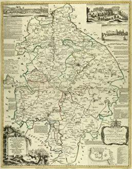
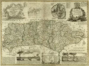
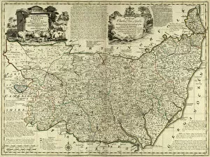
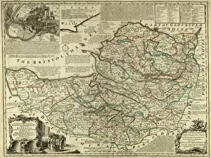
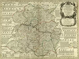
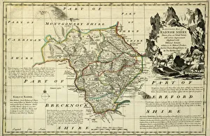
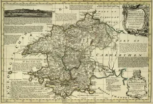
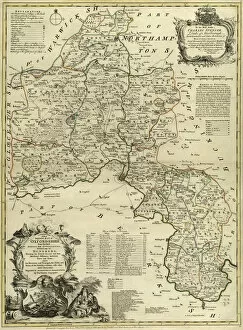
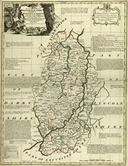
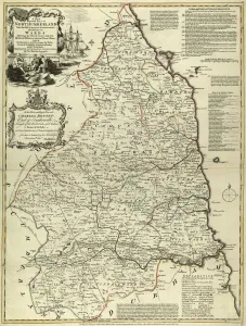
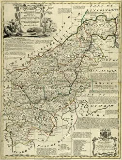
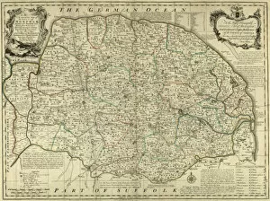
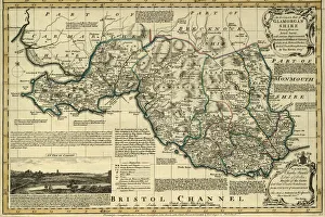
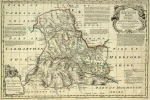
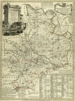
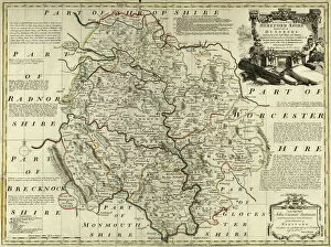
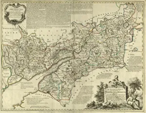
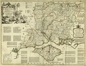
Bowen's County Maps, c. 1777 Jigsaw Puzzle Collection
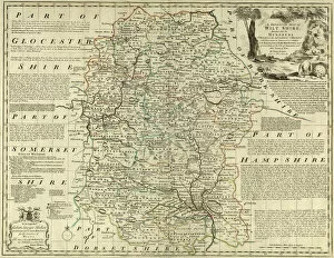
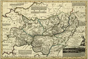
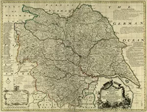
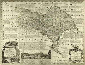
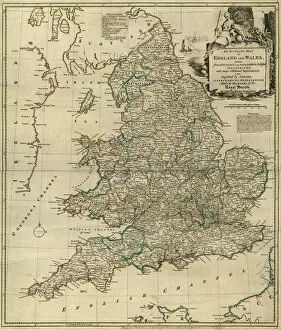
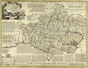
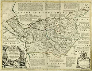
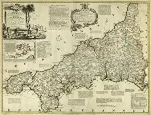
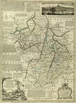
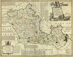
Maps from The Large English Atlas: or, a new set of map of all the counties of England and Wales drawn from the several surveys which have bene hitherto been published. With three general maps of England, Scotland and Ireland, from the latest and best authorities, by Emanuel Bowen, Thomas Kitchin and others. London, printed and sold by T. Bowles, [c.1777]
Choose a picture from our Bowen's County Maps, c. 1777 Jigsaw Puzzle Collection for your Wall Art and Photo Gifts
43 Jigsaw Puzzles
We are proud to offer this selection in partnership with Sheffield City Archives


All Professionally Made to Order for Quick Shipping
Why Choose Us?
How do I place an order?
-
Find your image: Use our search box or browse our online photo Collections to find the image you want.
-
Choose your print format: Select your desired product and add it to your cart.
-
Enter your details: If you're a returning customer, simply enter your email address and password, and we'll fill in your billing and shipping address details. All personal details are held securely and are fully GDPR compliant. As standard, we remove all Personally Identifiable Information after 12 months.
-
Pay for your purchase: We use state-of-the-art security for online shopping and do not have access to your card details.
-
Sit back and relax: We'll email you confirmation of your order and when it's dispatched. Registered customers can also track orders in the 'My Account' area.