Home > Arts > Artists > B > Emanuel Bowen
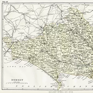
County Map of Dorset, c. 1777

![]()
Wall Art and Photo Gifts from Sheffield City Archives
County Map of Dorset, c. 1777
From The Large English Atlas: or, a new set of map of all the counties of England and Wales drawn from the several surveys which have been hitherto been published. With three general maps of England, Scotland and Ireland, from the latest and best authorities, by Emanuel Bowen, Thomas Kitchin and others. London, printed and sold by T. Bowles, [c.1777]
Original at Sheffield Libraries: 912 STF
Sheffield City Archives and Local Studies Library has an unrivalled collection of images of Sheffield, England
Media ID 25441076
© Sheffield City Council - All Rights Reserved
Antique Map Bowens Map County Map Emanuel Bowen Old Map Thomas Kitchin Blandford Forum Bournemouth Bridport Christchurch Dorchester Dorset Ferndown Gillingham Lyme Regis Poole Sherborne Swanage Weymouth Wimborne Minster
FEATURES IN THESE COLLECTIONS
> Arts
> Artists
> B
> Emanuel Bowen
> Arts
> Artists
> K
> Thomas Kitchin
> Europe
> Republic of Ireland
> Maps
> Europe
> United Kingdom
> England
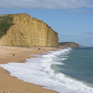
> Dorset
> Blandford Forum
> Europe
> United Kingdom
> England
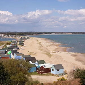
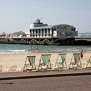
> Dorset
> Bournemouth
> Europe
> United Kingdom
> England
> Dorset
> Bridport
> Europe
> United Kingdom
> England
> Dorset
> Christchurch
> Europe
> United Kingdom
> England
> Dorset
> Dorchester
> Europe
> United Kingdom
> England
> Dorset
> Ferndown
> Europe
> United Kingdom
> England
> Dorset
> Gillingham
> Sheffield City Archives
> Maps and Plans
> Bowen's County Maps, c. 1777
EDITORS COMMENTS
This antique map, titled "County Map of Dorset, c. 1777" takes us on a journey back in time to explore the rich history and picturesque landscapes of this English county. Crafted by renowned cartographers Emanuel Bowen and Thomas Kitchin, this print is a true testament to their meticulous attention to detail. The map showcases the diverse towns and landmarks that define Dorset's identity. From the vibrant coastal towns of Bournemouth, Poole, Weymouth, and Christchurch to the charming inland villages like Ferndown, Dorchester, Wimborne Minster, and Bridport - every corner of this enchanting county is meticulously depicted. As we trace our eyes across the intricate lines and delicate illustrations on this old map, we are transported through time. We can almost envision bustling marketplaces in Verwood or Blandford Forum where locals traded goods with fervor. The historic town of Gillingham stands proud as its ancient roots intertwine with modern developments. Nature's wonders also find their place on this remarkable piece of art. The serene beauty of Swanage captivates us while Sherborne's architectural marvels leave us awe-inspired. And who could resist dreaming about strolling along Lyme Regis' iconic Cobb? Preserved at Sheffield Libraries: 912 STF from London-based publisher T. Bowles around 1777; this precious artifact allows us to appreciate both its historical significance and artistic brilliance today. Let it serve as a reminder that maps not
MADE IN THE UK
Safe Shipping with 30 Day Money Back Guarantee
FREE PERSONALISATION*
We are proud to offer a range of customisation features including Personalised Captions, Color Filters and Picture Zoom Tools
SECURE PAYMENTS
We happily accept a wide range of payment options so you can pay for the things you need in the way that is most convenient for you
* Options may vary by product and licensing agreement. Zoomed Pictures can be adjusted in the Basket.