Glass Coaster > Arts > Artists > M > Gerardus Mercator
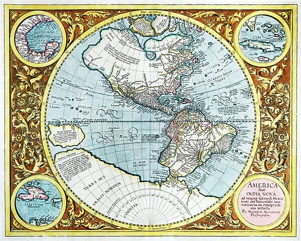
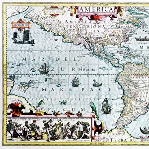
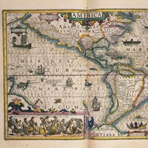
Glass Coaster : 17th century map of the New World
![]()

Home Decor from Science Photo Library
17th century map of the New World
Science Photo Library features Science and Medical images including photos and illustrations
Media ID 6349729
© GEORGETTE DOUWMA/SCIENCE PHOTO LIBRARY
17th Century Age Of Discovery Ancient Antarctic Antarctica Arctic Cartography Circle Circular Cuba Distorted Distortion Dutch Earth Science Exploration Exploring Globe Gulf Of Mexico Haiti Illustrated Inaccurate Incomplete Indian Latin Mapping Maps Mercator Michael New Guinea New World Round Sciences Seventeenth South Unknown 1606 Gerard Gerardus Grand Son Terra Australis Western Hemisphere
Glass Coaster
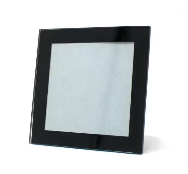
Individual Glass Coaster. Stylish and elegant polished safety glass, toughened and heat resistant (10x10cm, 7mm thick). Price shown is per individual coaster.
Individual Glass Coaster. Elegant polished safety toughened glass and heat resistant, matching Place Mats are also available
Estimated Image Size (if not cropped) is 7.6cm x 6.1cm (3" x 2.4")
Estimated Product Size is 10cm x 10cm (3.9" x 3.9")
These are individually made so all sizes are approximate
Artwork printed orientated as per the preview above, with landscape (horizontal) orientation to match the source image.
FEATURES IN THESE COLLECTIONS
> Animals
> Mammals
> Cricetidae
> Australis
> Animals
> Mammals
> Delphinidae
> Australis
> Animals
> Mammals
> Molossidae
> Australis
> Animals
> Mammals
> Muridae
> Western Mouse
> Arts
> Artists
> M
> Gerardus Mercator
> Asia
> India
> Related Images
> Maps and Charts
> Early Maps
> Maps and Charts
> Gerardus Mercator's Cartographic
EDITORS COMMENTS
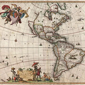
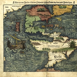
This print showcases a remarkable 17th-century map of the New World, offering a glimpse into the age of exploration and cartography. Created by Gerardus Mercator in 1606, this circular illustration depicts the Western Hemisphere with both accuracy and distortion, reflecting the limited knowledge of that era. As we delve into this ancient geographical masterpiece, we are transported back to a time when America was known as "America sive India Nova". The intricate details reveal uncharted territories such as Haiti, Cuba, and even New Guinea. However, it is important to note that this map remains incomplete and somewhat inaccurate due to the unknown nature of these lands. The artistry behind this work lies in its grandeur; it captures not only the vastness of North America but also presents an illustrated perspective on Antarctica and the Arctic regions. Its Latin inscriptions add an air of authenticity while reminding us of its historical significance. Intriguingly distorted yet undeniably beautiful, this 17th-century map serves as a testament to human curiosity and exploration during the Age of Discovery. It reminds us how far our understanding has come in earth sciences since then while acknowledging that there is still much left undiscovered. Science Photo Library brings forth another treasure from history through this print - a visual representation that sparks wonder about our world's past and inspires further exploration into its mysteries.
MADE IN THE UK
Safe Shipping with 30 Day Money Back Guarantee
FREE PERSONALISATION*
We are proud to offer a range of customisation features including Personalised Captions, Color Filters and Picture Zoom Tools
SECURE PAYMENTS
We happily accept a wide range of payment options so you can pay for the things you need in the way that is most convenient for you
* Options may vary by product and licensing agreement. Zoomed Pictures can be adjusted in the Basket.


