Fraud Blocker Skip to main content

Map Collection (page 7)

"Journey through Time and Space: Exploring the World of Maps" Maps have been an essential tool for centuries

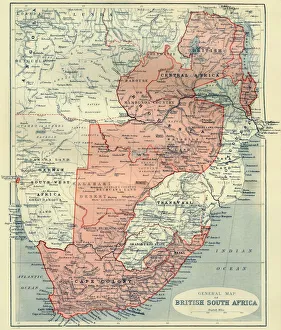
Background imageMap Collection: General Map of British South Africa, 1900. Creator: Unknown
General Map of British South Africa, 1900. Creator: Unknown
General Map of British South Africa, 1900. From " South Africa and the Transvaal War, Vol. I", by Louis Creswicke. [T. C. & E. C. Jack, Edinburgh, 1900]

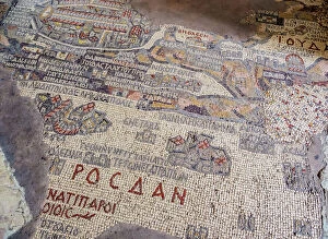
Background imageMap Collection: Madaba Mosaic Map, Greek Orthodox Basilica of Saint George, Madaba, Madaba Governorate

Madaba Mosaic Map, Greek Orthodox Basilica of Saint George, Madaba, Madaba Governorate, Jordan, Middle East

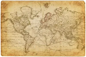
Background imageMap Collection: Map of the world 1800

Map of the world 1800

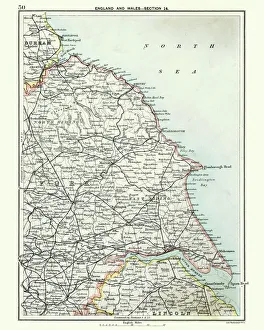
Background imageMap Collection: Antique map, North and East Yorkshire 19th Century

Antique map, North and East Yorkshire 19th Century
Vintage engraving of a Antique map, North and East Yorkshire 19th Century

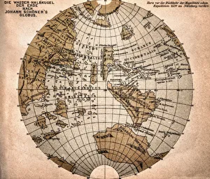
Background imageMap Collection: World map from 1520

World map from 1520
Western hemisphere of the Johannes SchAoner globe from 1520. expedition

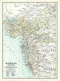
Background imageMap Collection: Antique map of Bombay, India, 19th Century

Antique map of Bombay, India, 19th Century
Antique map of Bombay, Berar, and part of central India from 1891

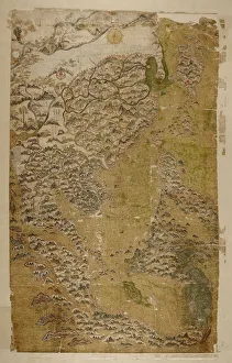
Background imageMap Collection: The Selden Map of China. Artist: Chinese Master

The Selden Map of China. Artist: Chinese Master
The Selden Map of China. Found in the collection of the Bodleian Library, Oxford

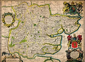
Background imageMap Collection: Map of Essex, 1678. Artists: John Ogilby, William Morgan

Map of Essex, 1678. Artists: John Ogilby, William Morgan
Map of Essex, 1678. From Essex, actually surveyed, with the several Roads from London &c. by Francis Lamb. [Philip Lea, Essex, 1678]

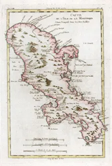
Background imageMap Collection: Map of the Caribbean island of Martinique, c1783

Map of the Caribbean island of Martinique, c1783

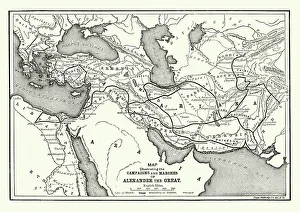
Background imageMap Collection: Ancient History - Map of Alexander the Great Campaigns

Ancient History - Map of Alexander the Great Campaigns
Vintage engraving of a map of the campaigns and marches of Alexander the Great

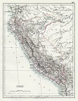
Background imageMap Collection: Peru map 1897

Peru map 1897
The World-Wide Atlas of Modern Geography, Political and Physical W. & A.K. Johnston - London 1897

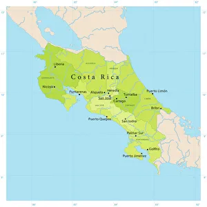
Background imageMap Collection: Costa Rica Vector Map

Costa Rica Vector Map
+++

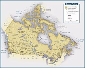
Background imageMap Collection: Country map of Canada

Country map of Canada
Reference Maps, 102270216

Background imageMap Collection: Map of Greek island of Corfu. Ionian Sea. Italian map. 1537

Map of Greek island of Corfu. Ionian Sea. Italian map. 1537

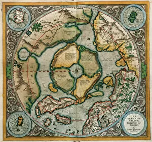
Background imageMap Collection: Septentrionalium Terrarum descriptio, 1595, by Gerardus Merc

Septentrionalium Terrarum descriptio, 1595, by Gerardus Merc
Gerardus Mercator (1512-1594). Flemish cartographer. Septentrionalium Terrarum descriptio. Map of the Arctic with the North Pole and surrounding lands within and outside the Arctic Circle, 1595

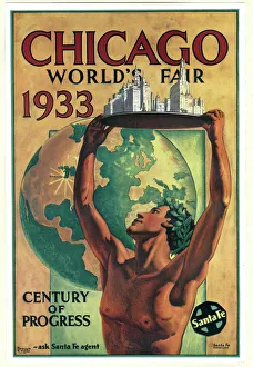
Background imageMap Collection: Poster design, Chicago Worlds Fair 1933

Poster design, Chicago Worlds Fair 1933, featuring a classical figure with arms raised, holding a model of the city. Date: 1933

Background imageMap Collection: Map of Texas 1867

Map of Texas 1867
Mitchells Modern Atlas - Published by E.H. Buttler & Co - Philadelphia 1867

Background imageMap Collection: Map of the world 1869

Map of the world 1869
Cornells Grammars-School Geography - S.S. Cornell - New York D. Appleton and Company 1869

Background imageMap Collection: Map of Australia and New Zealand 1856

Map of Australia and New Zealand 1856
Colton and Fitchs Modern School Geography by George W. Fitch - New York 1856

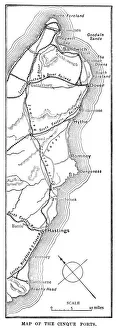
Background imageMap Collection: Map of the Cinque Ports (Victorian engraving)

Map of the Cinque Ports (Victorian engraving)
An old map of the Cinque Ports, which are five historic ports on the south-eastern corner of Kent, England. The Confederation of Cinque Ports (Cinque is pronounced asinka)

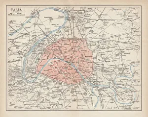
Background imageMap Collection: City map of Paris, lithograph, published in 1877

City map of Paris, lithograph, published in 1877
City map of Paris, France. Lithograph, published in 1877

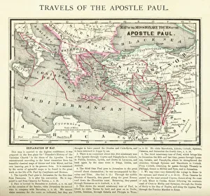
Background imageMap Collection: Travels of The Apostle Paul Map Engraving

Travels of The Apostle Paul Map Engraving
Engraved illustration of the Travels of The Apostle Paul Map Engraving from The Popular Pictorial Bible, Containing the Old and New Testaments, Published in 1862

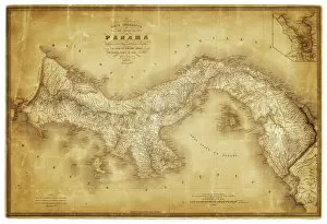
Background imageMap Collection: Map of Panama 1864

Map of Panama 1864
Map of Panama - combined with 2 different texture overlays

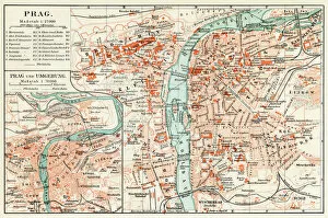
Background imageMap Collection: Prague map 1896

Prague map 1896
Meyers Konversations-Lexikon

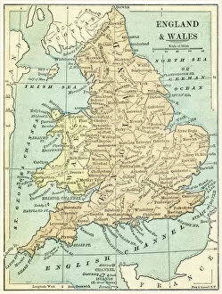
Background imageMap Collection: England and Wales map 1875

England and Wales map 1875
The Independent Course Comprehensive Geography by James Monteith, A.S. Barnes & Co, New York & Chicago 1875

Background imageMap Collection: Italy map 1875

Italy map 1875
The Independent Course Comprehensive Geography by James Monteith, A.S. Barnes & Co, New York & Chicago 1875

Background imageMap Collection: Palestine map 1875

Palestine map 1875
The Independent Course Comprehensive Geography by James Monteith, A.S. Barnes & Co, New York & Chicago 1875

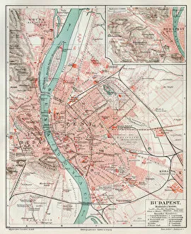
Background imageMap Collection: Budapest city map 1895

Budapest city map 1895
Meyers Konversations-Lexikon. Ein Nachschlagewerk des allgemeinen Wissens, 5th edition 17 volumes Bibliographisches Institut - Leipzig 1895-1897

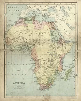
Background imageMap Collection: Antique map of Africa in the 19th Century, 1873

Antique map of Africa in the 19th Century, 1873
Vintage engraving of a Victorian Antique map of Africa in the 19th Century, 1873

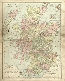
Background imageMap Collection: Antique damaged map of Scotland in the 19th Century

Antique damaged map of Scotland in the 19th Century
Vintage engraving of a Antique damaged map of Scotland in the 19th Century, 1873

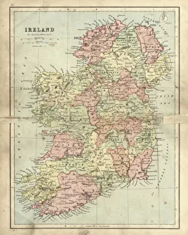
Background imageMap Collection: Antique damaged map of Ireland in the 19th Century

Antique damaged map of Ireland in the 19th Century
Vintage engraving of a Antique damaged map of Ireland in the 19th Century, 1873

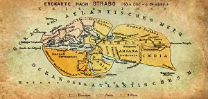
Background imageMap Collection: Map of the world according to Strabo

Map of the world according to Strabo 63 B.C

Background imageMap Collection: Africa Political Map

Africa Political Map
Antique illustration of a Africa Political Map from 1893

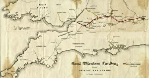
Background imageMap Collection: GWR Prospectus Map from 1834

GWR Prospectus Map from 1834
This document shows the proposed line from London to Bristol prior to the GWR receiving their Act of Parliament in 1835

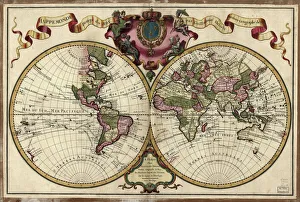
Background imageMap Collection: Map of the world, 1720

Map of the world, 1720
(Original Caption) 18th century map of the world. Published in Paris in 1720, this French map shows the known world, including the new lands that had been discovered in the preceding centuries by

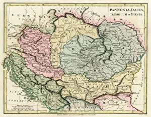
Background imageMap Collection: Map of the Dacian Empire and Roman provinces

Map of the Dacian Empire and Roman provinces. Date: 1801

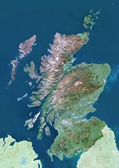
Background imageMap Collection: Scotland, UK, satellite image

Scotland, UK, satellite image
Scotland, UK. North is at top. Natural colour satellite image showing Scotland in the United Kingdom, with the surrounding territories shaded out

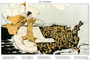
Background imageMap Collection: WOMENs SUFFRAGE, 1915. The Awakening. American cartoon, 1915, by Henry Mayer

WOMENs SUFFRAGE, 1915. The Awakening. American cartoon, 1915, by Henry Mayer, showing an allegorical representation of the suffrage cause striding across the western states

Background imageMap Collection: NEW YORK, 17th CENTURY. Rectified redraft of the Castello Plan of 1660

NEW YORK, 17th CENTURY. Rectified redraft of the Castello Plan of 1660, the earliest known plan of New Amsterdam

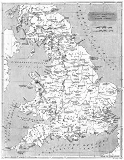
Background imageMap Collection: Roman Britain Map

Roman Britain Map
A map depicting the network of Roman settlements in Britain

Background imageMap Collection: CONSTELLATION MAP. An Indian Sanskrit star map, 1840, ordered as a manuscript horoscope for Prince

CONSTELLATION MAP. An Indian Sanskrit star map, 1840, ordered as a manuscript horoscope for Prince Navanihal Singh

Background imageMap Collection: MAP: UNITED STATES, 1905. Map of the continental United States (excluding Alaska), 1905

MAP: UNITED STATES, 1905. Map of the continental United States (excluding Alaska), 1905

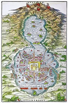
Background imageMap Collection: TENOCHTITLAN (MEXICO CITY) at the time of the Spanish Conquest: colored woodcut, 1556

TENOCHTITLAN (MEXICO CITY) at the time of the Spanish Conquest: colored woodcut, 1556

Background imageMap Collection: 17th century map of Europe

17th century map of Europe

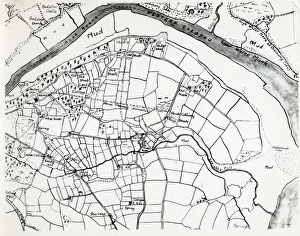
Background imageMap Collection: Sketch map of Hook, Pembrokeshire, South Wales

Sketch map of Hook, Pembrokeshire, South Wales
A sketch map of the village of Hook, including the various mining shafts of the colliery, on the Western Cleddau near Haverfordwest, Pembrokeshire, South Wales

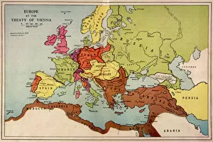
Background imageMap Collection: 1815 Europe Map

1815 Europe Map
A map of Europe at the time of the Congress of Vienna

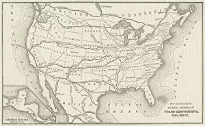
Background imageMap Collection: USA Railway Map

USA Railway Map
Transcontinental railway map of the United States of America and the adjoining British possessions. Date: 1883

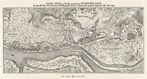
Background imageMap Collection: Ukraine / Kiev / Old Map 881

Ukraine / Kiev / Old Map 881
Kiev: the oldest known map


All Professionally Made to Order for Quick Shipping

"Journey through Time and Space: Exploring the World of Maps" Maps have been an essential tool for centuries, guiding us through uncharted territories and helping us understand our world. From the Thirteen original colonies in 1776 to William Smith's groundbreaking Geological Map, these visual representations have shaped our understanding of geography, history, and even ourselves. Step onto a Reflexology foot map, where every pressure point tells a story about our well-being. Or immerse yourself in the intricate details of Richard de Bello's masterpiece - The Hereford Mappa Mundi (c1285), a medieval treasure that showcases both geographical knowledge and artistic finesse. Travel back in time with antique maps like the Roman Empire or Britain under the Anglo Saxons; they offer glimpses into ancient civilizations that once thrived. And let's not forget the Falkland Islands Royal Engineer briefing map from 1982, reminding us how maps play crucial roles during times of conflict. Delve into Al-Idrisi's world map from 1154 or explore GWR Network Map from c1920s - each capturing different eras' perspectives on global connectivity. Swindon Works Map from c1940s takes you behind-the-scenes of industrial revolution marvels. Finally, lose yourself in a mesmerizing journey across Ancient Greece as you trace your finger along its contours on an old parchment-like map. Discover mythical lands and legendary tales that still resonate today, and are more than just navigational aids; they are gateways to exploration and understanding. They tell stories of triumphs, discoveries, cultures lost to time but preserved within their lines. So next time you unfold a map or scroll through digital coordinates (like EXPL2A-00352), remember that you hold much more than directions – you hold pieces of history waiting to be explored anew.