
French Miles Collection (page 3)
"Exploring the Seas: Unveiling the Mysteries of French Miles" Embark on a captivating journey through time and space as we delve into the world of "French Miles


All Professionally Made to Order for Quick Shipping
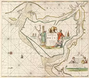
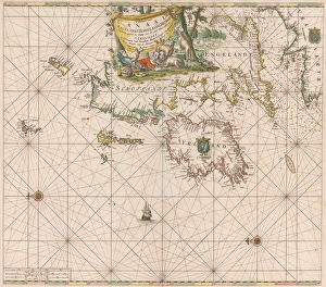
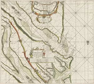
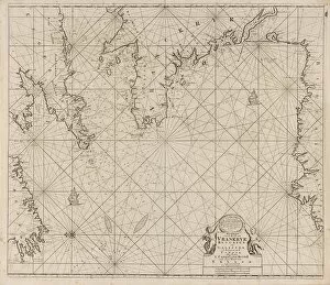
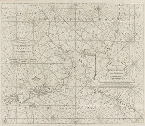
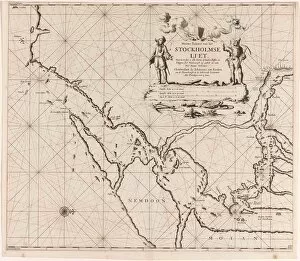
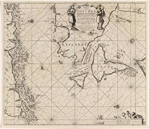
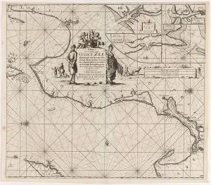
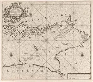
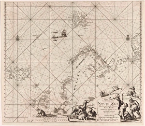
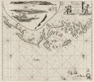
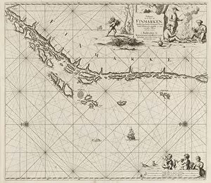
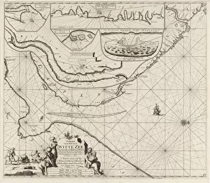
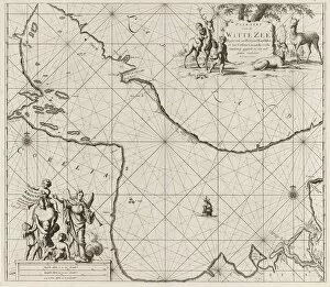
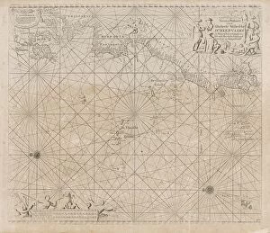
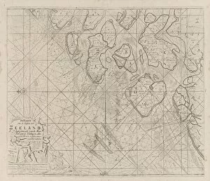
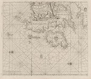
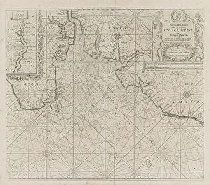
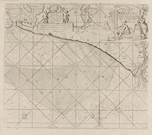
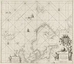
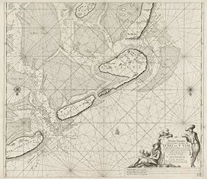
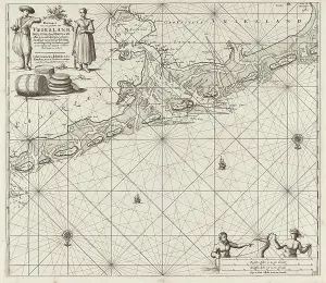
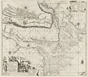
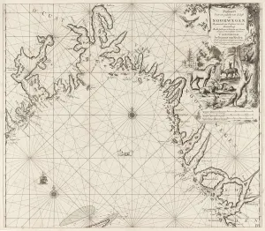
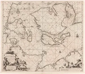
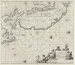
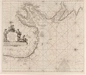
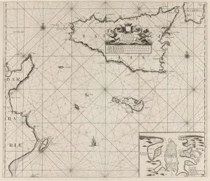
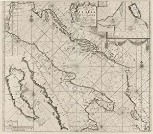
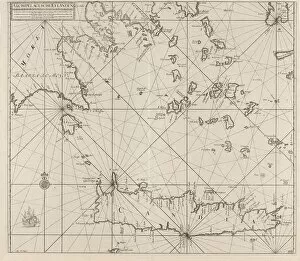
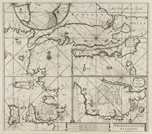
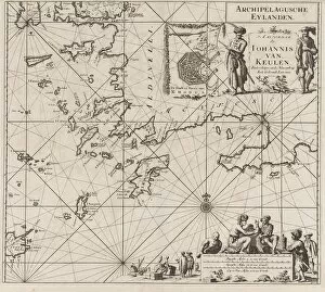
"Exploring the Seas: Unveiling the Mysteries of French Miles" Embark on a captivating journey through time and space as we delve into the world of "French Miles. " These enigmatic hints, including sea charts, passport cards, and nautical maps, offer a glimpse into the rich maritime history that stretches across various regions. Immerse yourself in adventure with Jan Luyken and Claes Jansz Voogt's sea chart depicting the mesmerizing south coast of Cuba and Jamaica. Let your imagination sail away to these exotic Caribbean destinations. Discover uncharted waters with the map showcasing Stockholm's area in New Paskaert Liet Stockholm. Traverse through this picturesque Scandinavian region while unraveling its hidden treasures. Unveil secrets along Italy's southwest coast and north coast with a passport card that reveals intriguing tales from this Mediterranean gem. From ancient ruins to breathtaking landscapes, explore every corner of this enchanting country. Continue your expedition towards Sardinia, an island boasting both European charm and North African influences. Delight in its diverse culture as you navigate through its coasts using a fascinating passport map. Journey further eastward to Sicily, Malta, and Tunisia - islands steeped in history where cultures converge harmoniously. Allow their allure to captivate you as you follow their intricate passageways on an alluring nautical map. Marvel at the grandeur of Gibraltar Strait while perusing a new passport card that unlocks its wonders. Witness how this narrow passage connects continents while shaping historical narratives. Navigate through Western and Eastern parts of the Mediterranean Sea using Pas-caart maps; let them guide you amidst azure waves towards unforgettable experiences awaiting at each destination. Explore Greece's southern Aegean Sea adorned by Crete Archipelago Agusche Eylanden - immerse yourself in mythological legends while basking under golden sunsets reflected upon crystal-clear waters.