Jigsaw Puzzle > North Wind Picture Archives > Maps
Jigsaw Puzzle : EXPL2A-00354
![]()

Jigsaw Puzzles from North Wind
EXPL2A-00354
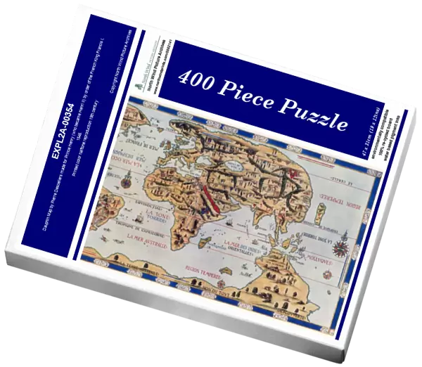
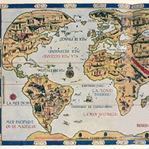
Dauphin Map by Pierre Desceliers made for Prince Henry (who became Henri II) by order of the French King Francis I, 1546.
Printed color halftone reproduction 19th century
North Wind Picture Archives brings history to life with stock images and hand-colored illustrations
Media ID 5882141
© North Wind Picture Archives
1500s 16th Century Africa America Asia Atlantic Atlantic Ocean Australia Cartography Discover Europe Exploration Explore France French Java King Navigation New World Ocean Pacific Pacific Ocean South America World World Map 1546 Dauphin Henry Ii
Jigsaw Puzzle (400 Pieces)
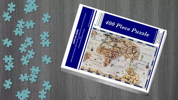
Discover the rich history of cartography with our captivating jigsaw puzzle from Media Storehouse - EXPL2A-00354. This intriguing puzzle features a stunning reproduction of the Dauphin Map, created by renowned cartographer Pierre Desceliers in 1546. Commissioned by French King Francis I for his son, Prince Henry (who later became Henri II), this map is an essential piece of cartographic history. Engage in a challenging and rewarding puzzle experience, bringing to life the vibrant colors and intricate details of this 19th-century printed halftone reproduction. Unleash your inner explorer and embark on a journey through time with Media Storehouse's Dauphin Map jigsaw puzzle.
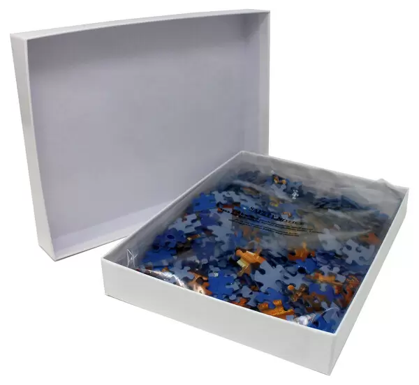
400 piece puzzles are custom made in the UK and hand-finished on 100% recycled 1.5 mm millboard. There is a level of repetition in jigsaw shapes with each matching piece away from its pair. The completed puzzle measures 31x47cm and is delivered packaged in an attractive presentation box specially designed to fit most letter box slots
Jigsaw Puzzles are an ideal gift for any occasion
Estimated Product Size is 47.2cm x 31.5cm (18.6" x 12.4")
These are individually made so all sizes are approximate
Artwork printed orientated as per the preview above, with landscape (horizontal) or portrait (vertical) orientation to match the source image.
EDITORS COMMENTS
This print showcases the remarkable "Dauphin Map" created by Pierre Desceliers in 1546 for Prince Henry, who later became Henri II. Commissioned by King Francis I of France, this historic map is a true testament to the artistry and skill of cartography during the 16th century. The vibrant colors and intricate details of this vintage reproduction transport us back in time, offering a glimpse into the world as it was known over four centuries ago. From Europe to Africa, Asia to North America, every continent is meticulously depicted with accuracy and precision. As we explore this magnificent piece of history, our eyes are drawn to the vast Atlantic Ocean that separates continents and connects distant lands. The map's focus on exploration becomes evident as we discover South America's uncharted territories and Java La Grande—an island believed to be part of Australia at that time. With its rich historical significance and artistic beauty, this Dauphin Map invites us to embark on a journey through time. It serves as a reminder of humanity's insatiable thirst for knowledge and discovery—a timeless pursuit that continues to shape our understanding of the world today. This print from North Wind Picture Archives allows us to appreciate not only the document illustration itself but also its profound impact on navigation, geography, and our collective understanding of global history.
MADE IN THE UK
Safe Shipping with 30 Day Money Back Guarantee
FREE PERSONALISATION*
We are proud to offer a range of customisation features including Personalised Captions, Color Filters and Picture Zoom Tools
SECURE PAYMENTS
We happily accept a wide range of payment options so you can pay for the things you need in the way that is most convenient for you
* Options may vary by product and licensing agreement. Zoomed Pictures can be adjusted in the Basket.

