
Navigation Collection
"Embarking on a Journey: Navigating through Time and Space" Step into the world as we explore its rich history and diverse forms


All Professionally Made to Order for Quick Shipping
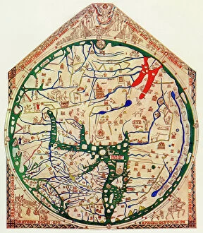
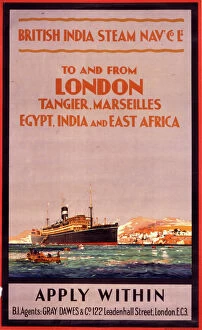
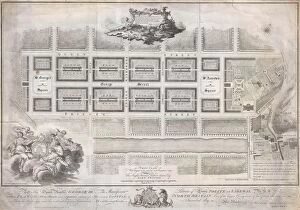
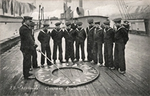
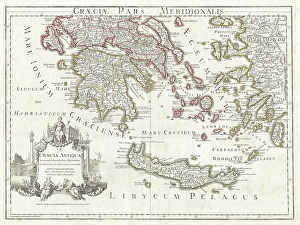
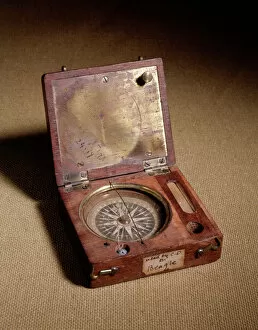
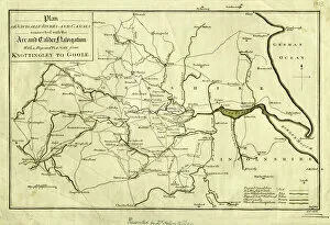
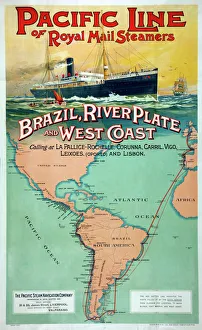
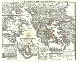
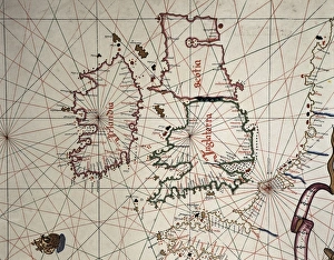
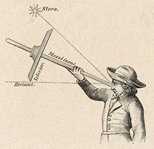
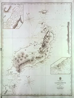
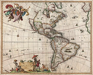
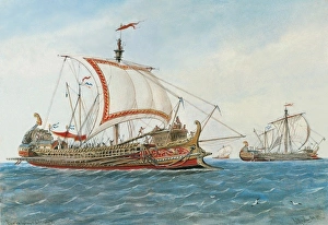
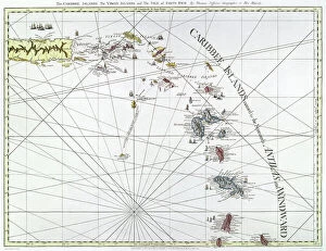
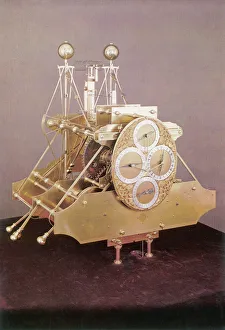
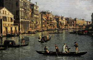
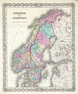
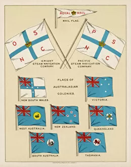
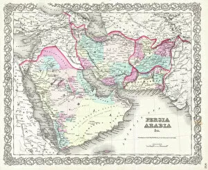
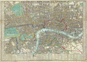
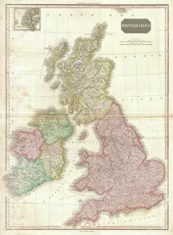
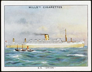
"Embarking on a Journey: Navigating through Time and Space" Step into the world as we explore its rich history and diverse forms. From ancient maps to modern technology, join us on this captivating voyage. Delve into the past with the 1815 plan of the Sheffield to Tinsley canal by W. And J. Fairbank, showcasing their vision for an intricate waterway system. Witness how British India Steam Navigation Company Ltd revolutionized travel across vast oceans, connecting distant lands. Experience the art training aboard the Training Ship Arethusa in Greenhithe, Kent, where young sailors honed their compass drill skills against breathtaking sunsets. Marvel at James Craig's 1768 map of New Town in Edinburgh, Scotland—a testament to meticulous planning and topographical precision. Immerse yourself in adventure as a Viking ship emerges from a fiery sunset silhouette through stunning 3D graphics—an ode to seafaring conquests that shaped history. Explore ancient Greece with Delisle's 1794 map depicting Southern Ancient Greece, Greek Isles, and Crete—unraveling tales of exploration and discovery. Travel across continents to Rhode Island, USA, where Point Judith Lighthouse stands tall amidst dusk's embrace—a guiding light for mariners navigating treacherous waters. Uncover Darwin's compass—J970126—a tool that unlocked nature's secrets during his groundbreaking scientific expeditions. Finally, witness racing pigeons taking flight—a symbol of precision navigation ingrained in our culture for centuries. Navigation is more than just finding your way—it represents human ingenuity and our unyielding desire to explore new horizons. Join us as we celebrate this timeless art that has guided civilizations throughout time.