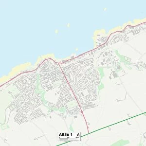
Glass Place Mat > Europe > France > Canton > Landes
Glass Place Mat : 1890 Hachette Map Of Antarctica Topography Cartography


![]()
Home Decor from Universal Images Group (UIG)
1890 Hachette Map Of Antarctica Topography Cartography
1890, Hachette Map of Antarctica
Universal Images Group (UIG) manages distribution for many leading specialist agencies worldwide
Media ID 38552023
© Artokoloro Quint Lox Limited
1890 Antique Map Latitude Longitude Mappa Mundi Old Antique Plan Old Antique View Ols Antique Map Rare Old Maps Topo
Glass Place Mat (Set of 4)
Set of 4 Glass Place Mats. Stylish and elegant polished safety glass, toughened and heat resistant (275x225mm, 7mm thick). Matching Coasters also available.
Set of 4 Glass Place Mats. Elegant polished safety glass and heat resistant. Matching Coasters may also be available
Estimated Image Size (if not cropped) is 25.4cm x 19.7cm (10" x 7.8")
Estimated Product Size is 27.5cm x 22.5cm (10.8" x 8.9")
These are individually made so all sizes are approximate
FEATURES IN THESE COLLECTIONS
> Animals
> Fishes
> G
> Grouper
> Europe
> France
> Canton
> Landes
> Historic
> Space exploration
> Maps and Charts
> Early Maps
> Maps and Charts
> Related Images
> Maps and Charts
> World
> Universal Images Group (UIG)
> History
> Historical Maps
EDITORS COMMENTS
Step back in time to the late 19th century with this stunning print of the 1890 Hachette Map of Antarctica Topography Cartography. This vintage map is a treasure trove of geographical knowledge, showcasing the frozen continent's uncharted territories and early explorations.
The intricate illustration depicts the vast expanse of Antarctica, with its rugged mountains, glaciers, and icy landscapes meticulously mapped out by French cartographer Louis-Clément Émile Béchervaise. The map's detailed topography reveals the region's unique geography, including mountain ranges like the Transantarctic Mountains and ice sheets covering much of the continent.
This historic map is not only a testament to human curiosity about our planet but also a reminder of how far we've come in understanding this unforgiving environment. As exploration continues to push boundaries today, it's fascinating to reflect on how our ancestors navigated these treacherous waters (literally!).
Printed on high-quality paper, this beautiful piece would make a unique addition to any room or office space. It serves as a conversation starter for history buffs and geography enthusiasts alike. Whether you're an adventurer at heart or simply appreciate vintage artistry, this 1890 Hachette Map of Antarctica Topography Cartography is sure to captivate.
MADE IN THE UK
Safe Shipping with 30 Day Money Back Guarantee
FREE PERSONALISATION*
We are proud to offer a range of customisation features including Personalised Captions, Color Filters and Picture Zoom Tools
SECURE PAYMENTS
We happily accept a wide range of payment options so you can pay for the things you need in the way that is most convenient for you
* Options may vary by product and licensing agreement. Zoomed Pictures can be adjusted in the Basket.