
Longitude Collection
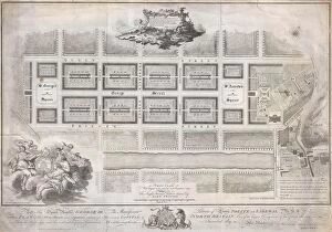
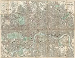
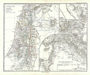
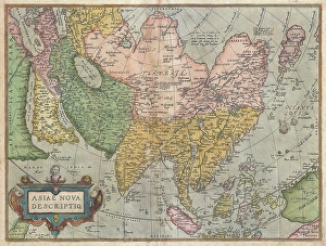
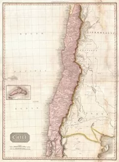
"Exploring the World through Longitude: From Ancient Maps to Lunar Landscapes" Step back in time to 1768, when James Craig unveiled his Map of New Town, Edinburgh


All Professionally Made to Order for Quick Shipping
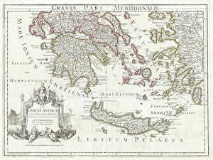
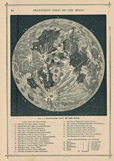
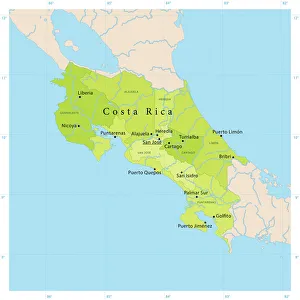
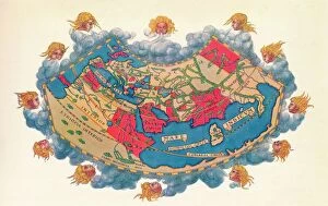
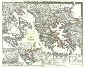
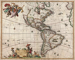
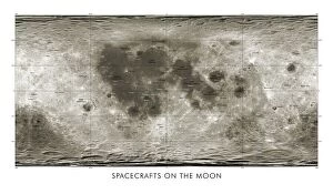
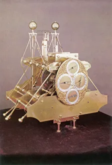
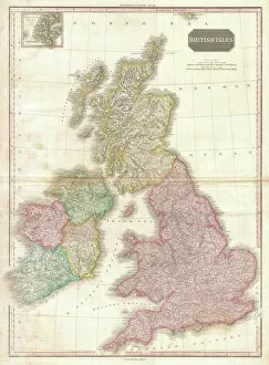
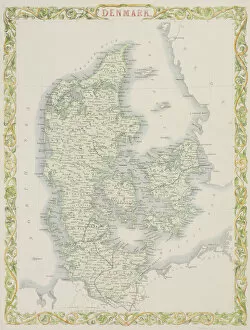
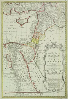
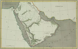
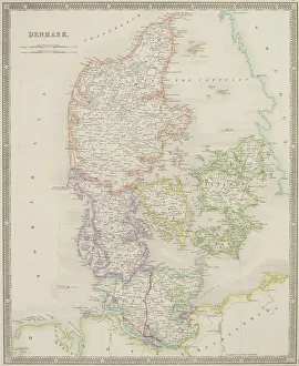
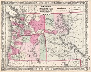
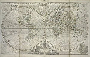
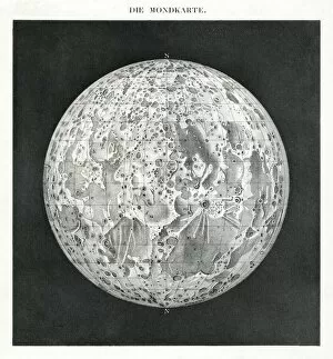
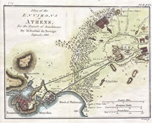
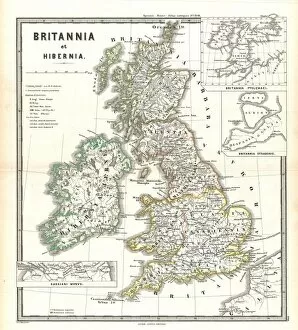
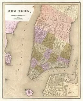
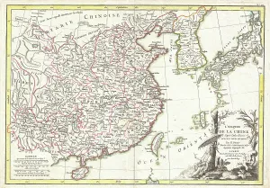
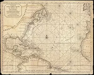
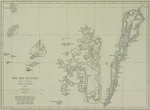
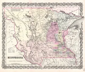
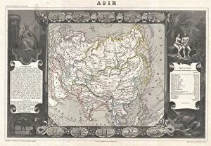
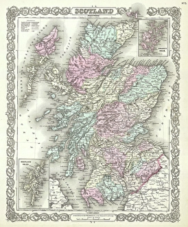
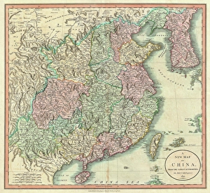
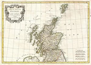
"Exploring the World through Longitude: From Ancient Maps to Lunar Landscapes" Step back in time to 1768, when James Craig unveiled his Map of New Town, Edinburgh, Scotland. This meticulously detailed map showcased the topography of this emerging city and provided a glimpse into its future. Fast forward to 1794, where Delisle's Map of Southern Ancient Greece takes us on a journey through the Greek Isles and Crete. With its intricate depiction of topography, this map offers a window into the ancient world. In 1886, we turn our gaze towards the heavens with a Telescopic View and Map of the Moon. Combining cartography and geography with lunar exploration, this extraordinary piece reveals not only the moon's topography but also humanity's relentless pursuit of knowledge. Venturing further south brings us to Costa Rica Vector Map - an ode to modern cartography that showcases this Central American gem in all its geographical glory. Traveling eastward lands us in Russia as we admire an Antique Map from centuries ago. This historical artifact allows us to trace Russia's past while marveling at how far cartographic techniques have come since then. Returning even further back in time is Ptolemy's iconic Map of the World from around AD 150. Created by Claudius Ptolemy himself, it represents one man's attempt to capture Earth's vastness within parchment boundaries. Leaping ahead several millennia brings us face-to-face with a spacecraft on the Moon - accompanied by a lunar map. Here we witness mankind pushing boundaries once again as we explore new frontiers beyond our own planet. But longitude isn't just about maps; it also encompasses timekeeping precision. Enter Harrison’s First Chronometer - an invention that revolutionized navigation by accurately measuring longitude at sea for sailors worldwide. Turning our attention westward now leads us to Visscher’s 1658 Map of North America and South America.