Glass Place Mat : Sea chart of the Northern Dvina River, Russia, Jan Luyken, Johannes van Keulen I
![]()

Home Decor from Liszt Collection
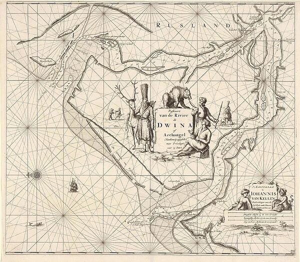
Sea chart of the Northern Dvina River, Russia, Jan Luyken, Johannes van Keulen I
Sea chart of the Northern Dvina River, Russia, Jan Luyken, Johannes van Keulen I, unknown, 1681-1799
Liszt Collection of nineteenth-century engravings and images to browse and enjoy
Media ID 12716539
© Quint Lox Limited
1681 1799 Address Archangel Bear Children City Countries Degree Distribution Figures Flows Hats Jan Luyken Johannes Van Keulen Maps Northern Port Regions Russian Scale Sea Chart Stone White Arkhangelsk Dvina Fur Hats Tame White Sea
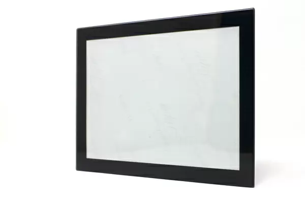
Glass Place Mat (Set of 4)
Set of 4 Glass Place Mats. Stylish and elegant polished safety glass, toughened and heat resistant (275x225mm, 7mm thick). Matching Coasters also available.
Set of 4 Glass Place Mats. Elegant polished safety glass and heat resistant. Matching Coasters may also be available
Estimated Image Size (if not cropped) is 25.4cm x 22.1cm (10" x 8.7")
Estimated Product Size is 27.5cm x 22.5cm (10.8" x 8.9")
These are individually made so all sizes are approximate
EDITORS COMMENTS
This print showcases a remarkable sea chart of the Northern Dvina River in Russia, created by Jan Luyken and Johannes van Keulen I. Dating back to the years between 1681 and 1799, this map offers a fascinating glimpse into the world of cartography during that era. The intricate details on this map provide an invaluable resource for understanding the geography and distribution of this region. The Northern Dvina River flows through Arkhangelsk, a prominent Russian port city situated along the White Sea. As we explore this sea chart, we can observe figures donning fur hats, adding a touch of cultural authenticity to its depiction. One particularly intriguing element is the presence of a man accompanied by his tame bear – an unexpected sight amidst such nautical surroundings. Additionally, children can be seen engaging with their surroundings near the river's edge. The scale and degree of accuracy exhibited in this map are truly impressive. It serves as both an educational tool and a work of art that captures historical significance. With each glance at this print from Liszt Collection, one cannot help but appreciate how it transports us back in time to better understand our world's past. Quint Lox has skillfully captured not only the essence but also the beauty encapsulated within this sea chart through his photography expertise.
MADE IN THE UK
Safe Shipping with 30 Day Money Back Guarantee
FREE PERSONALISATION*
We are proud to offer a range of customisation features including Personalised Captions, Color Filters and Picture Zoom Tools
SECURE PAYMENTS
We happily accept a wide range of payment options so you can pay for the things you need in the way that is most convenient for you
* Options may vary by product and licensing agreement. Zoomed Pictures can be adjusted in the Basket.


