
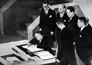
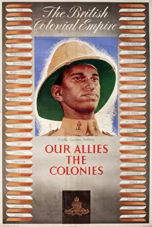
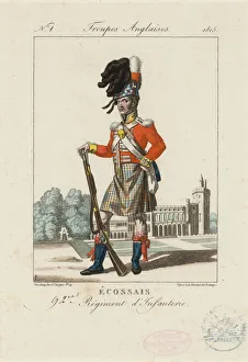
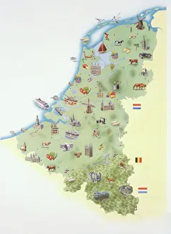
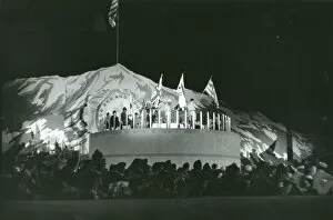
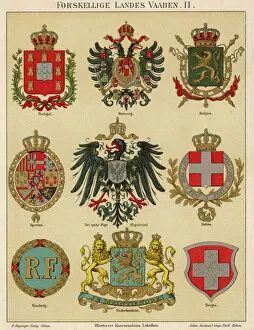
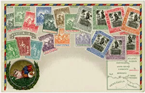
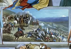
Countries Collection
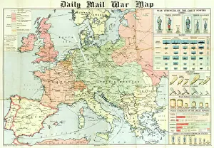
"The King of Kings: A glimpse into the diverse tapestry throughout history" Daily Mail War Map, WW1: Unveiling the global impact of nations during the Great War


All Professionally Made to Order for Quick Shipping
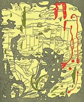
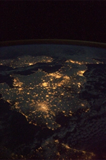
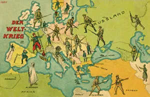
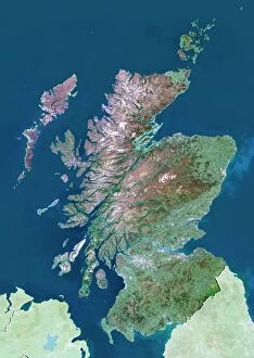
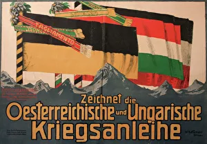
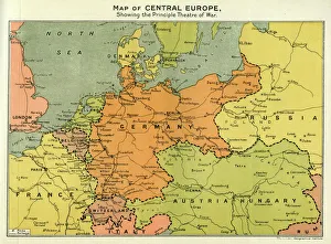
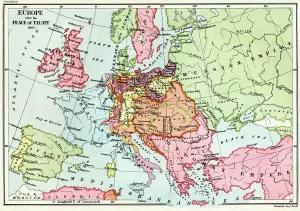
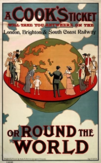
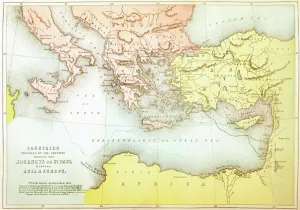
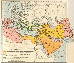
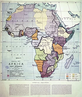
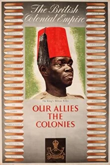
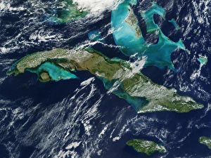
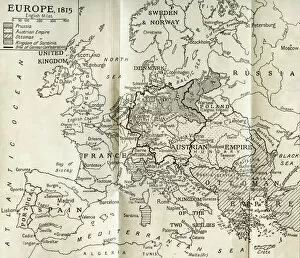
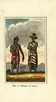
"The King of Kings: A glimpse into the diverse tapestry throughout history" Daily Mail War Map, WW1: Unveiling the global impact of nations during the Great War. Anglo-Saxon 10th century world map: Tracing the ancient roots and territorial boundaries of countries. UK at night from space: Witnessing the vibrant glow that illuminates a nation's cities under a starry sky. World War One Combatants - Map of Europe: Exploring the intricate alliances and conflicts between countries during this tumultuous era. Scotland, UK, satellite image: Marveling at Scotland's breathtaking landscapes as seen from above. Poster advertising Austro-Hungarian War Bonds: Reflecting on how patriotism fueled financial support for countries in times of war. Map of Central Europe, World War One: Understanding the strategic importance and shifting borders within this pivotal region during WWI. Map of Europe after the Peace of Tilsit in 1807, from A Short History Of The. . : Examining geopolitical changes following peace negotiations that shaped European nations two centuries ago. Australia, satellite image: Beholding Australia's vastness and natural wonders captured by satellites orbiting high above Earth. "A Cooks Ticket will take you anywhere": Embracing wanderlust with an invitation to explore various countries through culinary adventures around the globe. Countries Travelled By The Apostles And Showing The Journeys Of St Paul Between Asia And Europe. : Tracing early Christian missionary journeys across continents, bridging cultures and nations. Intriguingly interconnected yet uniquely distinct – these captivating glimpses into different aspects surrounding 'countries' reveal their rich histories, geographical diversity, political dynamics, cultural exchanges, and timeless human aspirations for exploration and unity across our shared planet.