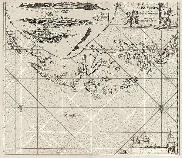
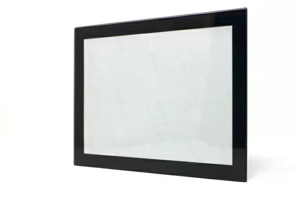
Glass Frame : Sea chart of part of the coast of Finnmark, Jan Luyken, Johannes van Keulen (I), unknown
![]()

Mounted Prints from Liszt Collection
Sea chart of part of the coast of Finnmark, Jan Luyken, Johannes van Keulen (I), unknown
Sea chart of part of the coast of Finnmark, Jan Luyken, Johannes van Keulen (I), unknown, 1681 - 1799
Liszt Collection of nineteenth-century engravings and images to browse and enjoy
Media ID 12716473
© Quint Lox Limited
1681 1799 Address Amores Amoretti Blind Bluff Boats Cartouche Coast Compass Compasses Cupids Decorated French Miles Inset Island Jan Luyken Johannes Van Keulen Merchandise Merchants Neptune North Norway Playing Poseidon Putti Roses Sea Chart Blind Mans Buff Finnmark Vardo
8"x6" Glass Mount
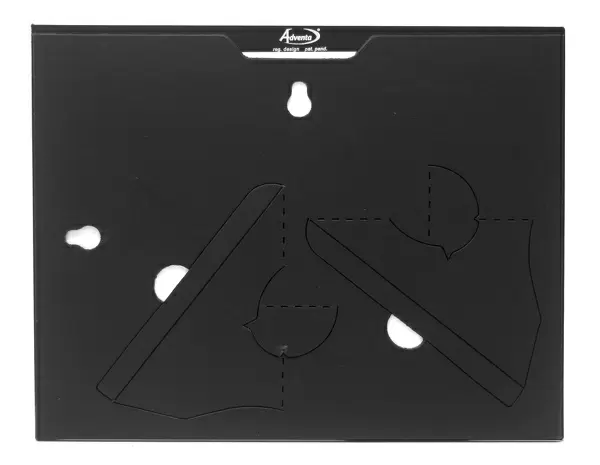
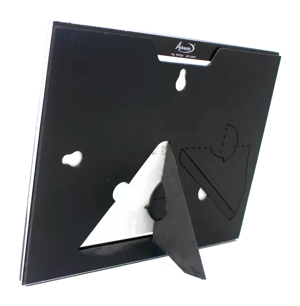
Wall mounted or free-standing, these black edged glass frames feature a smooth chamfered edge and a stylish black border (on back face of the glass). Manufactured from 4mm thick glass, Glass Mounts are a durable, professional way of displaying and protecting your prints. Your 8x6 print is slotted into the back of the frame so can easily be changed if needed.
Tempered Glass Mounts are ideal for wall display, plus the smaller sizes can also be used free-standing via an integral stand
Estimated Image Size (if not cropped) is 20.3cm x 15.2cm (8" x 6")
Estimated Product Size is 22.8cm x 17.7cm (9" x 7")
These are individually made so all sizes are approximate
Artwork printed orientated as per the preview above, with landscape (horizontal) orientation to match the source image.
EDITORS COMMENTS
This print showcases a remarkable sea chart of part of the coast of Finnmark, created by renowned cartographers Jan Luyken and Johannes van Keulen (I) in the late 17th to early 18th century. The intricate details and exquisite artistry make this map a true masterpiece of geographical exploration. The chart features an inset highlighting the island of Vardo, surrounded by compasses indicating the cardinal directions. Adorned with beautifully decorated cartouches, it captures the essence of maritime adventure. Cupids, amores, amoretti, and putti can be seen playing blind man's bluff near Neptune or Poseidon himself – symbolizing both playfulness and the power that lies within these treacherous waters. Merchants' boats sail across the sea, carrying valuable merchandise from distant lands while roses delicately frame important addresses on this navigational tool. French miles are marked along its edges as a testament to its international significance. Quint Lox expertly captures every detail in this stunning print from Liszt Collection. It serves as a reminder not only of our ancestors' thirst for discovery but also their dedication to accurately mapping our world's vast oceans. This piece is sure to transport any viewer back in time to an era when exploration was at its peak and inspire awe for those who dared venture into uncharted territories.
MADE IN THE UK
Safe Shipping with 30 Day Money Back Guarantee
FREE PERSONALISATION*
We are proud to offer a range of customisation features including Personalised Captions, Color Filters and Picture Zoom Tools
SECURE PAYMENTS
We happily accept a wide range of payment options so you can pay for the things you need in the way that is most convenient for you
* Options may vary by product and licensing agreement. Zoomed Pictures can be adjusted in the Basket.


