Fraud Blocker Skip to main content

Physical Geography Collection (page 4)

"Exploring the Diverse Landscapes

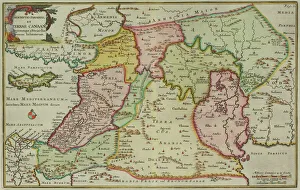
Background imagePhysical Geography Collection: Antique map of Israel

Antique map of Israel

Background imagePhysical Geography Collection: Antique map of the Middle East by Halma

Antique map of the Middle East by Halma

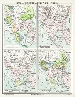
Background imagePhysical Geography Collection: Turkey Ottoman Empire map 1895

Turkey Ottoman Empire map 1895
Meyers Konversations-Lexikon. Ein Nachschlagewerk des allgemeinen Wissens, 5th edition 17 volumes Bibliographisches Institut - Leipzig 1895-1897
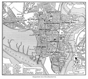
Background imagePhysical Geography Collection: Southampton England map 1895

Southampton England map 1895
Meyers Konversations-Lexikon. Ein Nachschlagewerk des allgemeinen Wissens, 5th edition 17 volumes Bibliographisches Institut - Leipzig 1895-1897

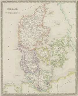
Background imagePhysical Geography Collection: Antique map of Denmark

Antique map of Denmark

Background imagePhysical Geography Collection: Loch na h-Achlaise Reflections, Rannoch Moor Scotland

Loch na h-Achlaise Reflections, Rannoch Moor Scotland
Spectacular dramatic weather creates a moody atmosphere over the Mountains of Loch na h-Achlaise. The tranquil water of the loch reflects the distant mountains, islands of trees

Background imagePhysical Geography Collection: Illustrated map of ancient Persia

Illustrated map of ancient Persia

Background imagePhysical Geography Collection: Illustrated map of ancient Assyrian empire

Illustrated map of ancient Assyrian empire

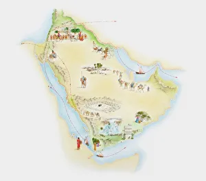
Background imagePhysical Geography Collection: Illustrated map of ancient Arab trade routes and pilgrimage sites

Illustrated map of ancient Arab trade routes and pilgrimage sites

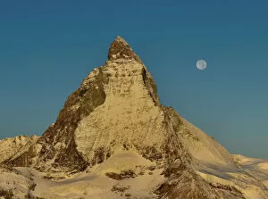
Background imagePhysical Geography Collection: Matterhorn golden hour

Matterhorn golden hour

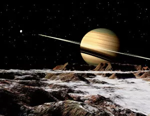
Background imagePhysical Geography Collection: Saturn seen from the surface of its moon, Rhea

Saturn seen from the surface of its moon, Rhea. It is the largest of Saturns airless satellites. It was discovered in 1672 by Giovanni Cassini

Background imagePhysical Geography Collection: Global mosaic of Mars

Global mosaic of Mars. Visible in the center of this mosaic is the largest known chasm in the solar system, Valles Marineris

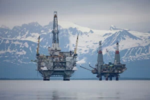
Background imagePhysical Geography Collection: USA, Alaska, Offshore oil drilling rigs in Cook Inlet and distant Alaska Range peaks

USA, Alaska, Offshore oil drilling rigs in Cook Inlet and distant Alaska Range peaks on summer evening

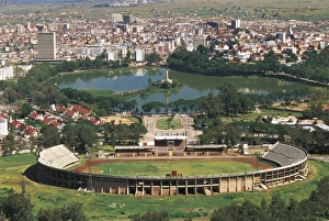
Background imagePhysical Geography Collection: Madagascar, Aerial view of Antananarivo Stadium and Lake Anosy with war memorial

Madagascar, Aerial view of Antananarivo Stadium and Lake Anosy with war memorial
Aerial view of Antananarivo Stadium and Lake Anosy with war memorial, Madagascar

Background imagePhysical Geography Collection: Russia, Saint Petersburg, Aerial view of Petrovsky Stadium

Russia, Saint Petersburg, Aerial view of Petrovsky Stadium
Aerial view of Petrovsky Stadium in Saint Petersburg, Russia

Background imagePhysical Geography Collection: Richat Structure, satellite image

Richat Structure, satellite image. North is at top. Desert sands are pale yellow/white (top left and lower right), while less sandy, rocky areas are green, and volcanic rocks are blue

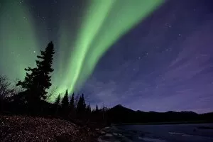
Background imagePhysical Geography Collection: Aurora borealis

Aurora borealis over trees by a river. This coloured light display (the northern lights) is visible in the night sky at high latitudes

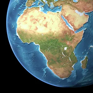
Background imagePhysical Geography Collection: Africa, topographic map

Africa, topographic map. Highlands and lowlands of the continents are shown as ridges and flat areas. Southern Europe and the Middle East are also seen at top and upper right respectively

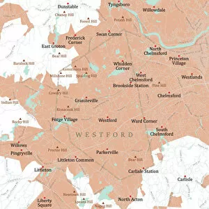
Background imagePhysical Geography Collection: MA Middlesex Westford Vector Road Map

MA Middlesex Westford Vector Road Map. All source data is in the public domain. U.S. Census Bureau Census Tiger. Used Layers: areawater, linearwater, roads, rails, cousub, pointlm, uac10

Background imagePhysical Geography Collection: Azure Window, Dwejra Point, Gozo, Malta

Azure Window, Dwejra Point, Gozo, Malta
The Azure Window is a natural arch in the Maltese island of Gozo. The stunning geography of the area was created thousands of years ago when two limestone caves collapsed

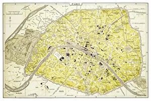
Background imagePhysical Geography Collection: Map of Paris 1894

Map of Paris 1894
map/plan of the city of Paris, France

Background imagePhysical Geography Collection: Minot North Dakota US City Street Map

Minot North Dakota US City Street Map
Vector Illustration of a City Street Map of Minot, North Dakota, USA. Scale 1:60, 000. All source data is in the public domain. U.S

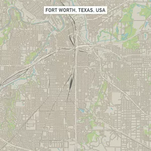
Background imagePhysical Geography Collection: Fort Worth Texas US City Street Map

Fort Worth Texas US City Street Map
Vector Illustration of a City Street Map of Fort Worth, Texas, USA. Scale 1:60, 000. All source data is in the public domain. U.S

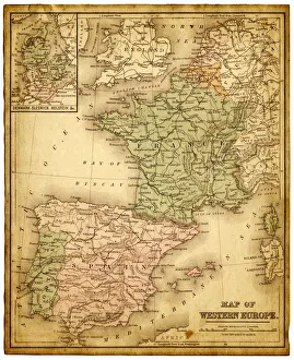
Background imagePhysical Geography Collection: western europe map 1883

western europe map 1883
a map of Western europe from 1883

Background imagePhysical Geography Collection: western europe 1867

western europe 1867
a map of Western europe from 1867, overlay with grunge burnt texture paper

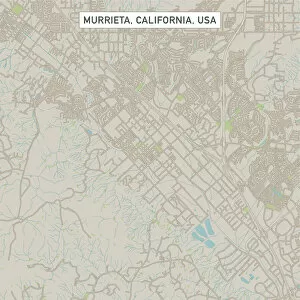
Background imagePhysical Geography Collection: Murrieta California US City Street Map

Murrieta California US City Street Map
Vector Illustration of a City Street Map of Murrieta, California, USA. Scale 1:60, 000. All source data is in the public domain. U.S

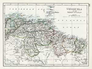
Background imagePhysical Geography Collection: Venezuela and the Guayanas map 1897

Venezuela and the Guayanas map 1897
The World-Wide Atlas of Modern Geography, Political and Physical W. & A.K. Johnston - London 1897

Background imagePhysical Geography Collection: Mexico map 1897

Mexico map 1897
The World-Wide Atlas of Modern Geography, Political and Physical W. & A.K. Johnston - London 1897

Background imagePhysical Geography Collection: World eastern hemispheres 1883

World eastern hemispheres 1883
Warrens Common School Geography

Background imagePhysical Geography Collection: Wisconsin Michigan map 1881

Wisconsin Michigan map 1881
Coltons Common School Geography 1881 New York Sheldon and Co

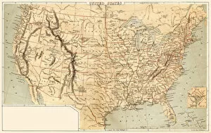
Background imagePhysical Geography Collection: Map of United States 1869

Map of United States 1869
Cornells Grammars-School Geography - S.S. Cornell - New York D. Appleton and Company 1869

Background imagePhysical Geography Collection: Map of Asia 1856

Map of Asia 1856
Colton and Fitchs Modern School Geography by George W. Fitch - New York 1856

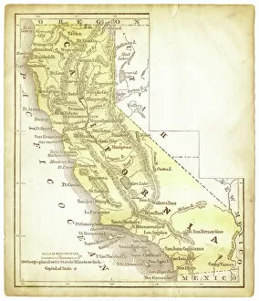
Background imagePhysical Geography Collection: Old map of California 1856

Old map of California 1856
Colton and Fitchs Modern School Geography by George W. Fitch - New York 1856

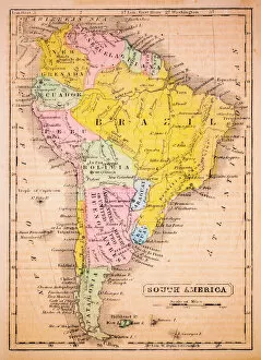
Background imagePhysical Geography Collection: South America 1852 Map

South America 1852 Map

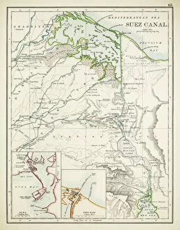
Background imagePhysical Geography Collection: Map of Suez Canal 1897

Map of Suez Canal 1897

Background imagePhysical Geography Collection: Commercial chart of the world map 1875

Commercial chart of the world map 1875
The Independent Course Comprehensive Geography by James Monteith, A.S. Barnes & Co, New York & Chicago 1875

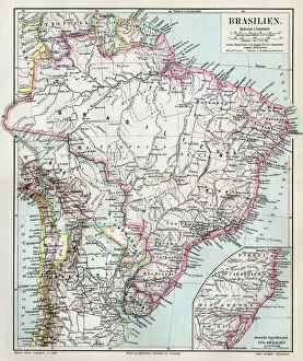
Background imagePhysical Geography Collection: Brazil map 1895

Brazil map 1895
Meyers Konversations-Lexikon. Ein Nachschlagewerk des allgemeinen Wissens, 5th edition 17 volumes Bibliographisches Institut - Leipzig 1895-1897

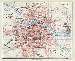
Background imagePhysical Geography Collection: Wroclaw city map 1895

Wroclaw city map 1895
Meyers Konversations-Lexikon. Ein Nachschlagewerk des allgemeinen Wissens, 5th edition 17 volumes Bibliographisches Institut - Leipzig 1895-1897

Background imagePhysical Geography Collection: Antique map of Van Diemen Island off Australia with vignettes

Antique map of Van Diemen Island off Australia with vignettes

Background imagePhysical Geography Collection: Antique map of holy land including Syria and Lebanon

Antique map of holy land including Syria and Lebanon

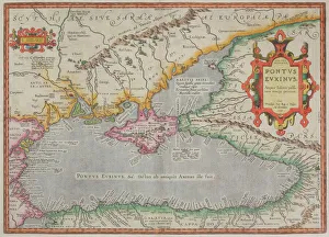
Background imagePhysical Geography Collection: Antique map of the Black Sea and surrounding lands

Antique map of the Black Sea and surrounding lands

Background imagePhysical Geography Collection: Dublin

Dublin
Antique map of Dublin

Background imagePhysical Geography Collection: Singapore

Singapore
Antique illustration of a Republic of Singapore

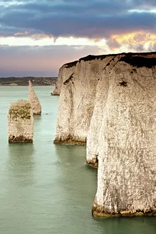
Background imagePhysical Geography Collection: Cliffs at Dorset

Cliffs at Dorset
Old Harry chalk cliffs at Dorset

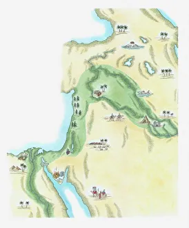
Background imagePhysical Geography Collection: Illustration of strip of land known as the fertile crescent which stretched from Egypt through

Illustration of strip of land known as the fertile crescent which stretched from Egypt through Canaan and Mesopotamia to Babylonia in the Old Testament

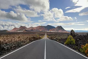
Background imagePhysical Geography Collection: Timanfaya National Park, Lanzarote, Spain

Timanfaya National Park, Lanzarote, Spain
The road from the Timanfaya National Park on Lanzarote going back towards Yaiza

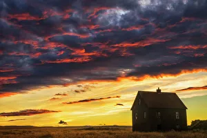
Background imagePhysical Geography Collection: Abandoned house in rural Iceland with a brilliant sunset

Abandoned house in rural Iceland with a brilliant sunset
Iceland

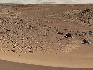
Background imagePhysical Geography Collection: Martian valley on planet Mars

Martian valley on planet Mars


All Professionally Made to Order for Quick Shipping

"Exploring the Diverse Landscapes: A Journey through Physical Geography" Embark on a captivating journey through physical geography as we delve into the intricate details of our world's diverse landscapes. From the political map of Africa, showcasing its nations and boundaries, to Mappa Mundi - an exquisite ink and color creation from 1265 London that offers a glimpse into medieval cartography. Travel back in time with the antique maps such as Map of Ireland (1897), Great Britain and Ireland (1867), Sicily (1895), Palestine (1875), and even Tasmania. These historical artifacts not only provide geographical information but also offer insights into how our understanding of land has evolved over centuries. Discover the wonders hidden within Antarctica as you explore a unique map overlaid with illustrations of sea gulls, penguins, elephant seals, shrimp, and buildings. Witness China unfold before your eyes through its intricately detailed map or marvel at Earth's tectonic plates marked by lines on a global scale. Experience rare moments captured by nature itself like never before – witness a snow-covered United Kingdom during January 2010 or immerse yourself in Earth's topographic and bathymetric features depicted meticulously on one single map. Physical geography is more than just studying landforms; it is about unraveling stories etched onto every inch of our planet's surface. Join us on this fascinating expedition where maps become windows to exploration, knowledge, and appreciation for the remarkable diversity that exists right beneath our feet.