Fraud Blocker Skip to main content

Physical Geography Collection (page 3)

"Exploring the Diverse Landscapes

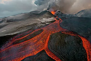
Background imagePhysical Geography Collection: Tolbachik Volcano erupting with lava flowing down the mountain side. Kamchatka, Russia

Tolbachik Volcano erupting with lava flowing down the mountain side. Kamchatka, Russia. November 29th 2013. Winner of the Wildscapes category

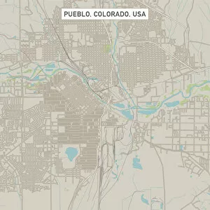
Background imagePhysical Geography Collection: Pueblo Colorado US City Street Map

Pueblo Colorado US City Street Map
Vector Illustration of a City Street Map of Pueblo, Colorado, USA. Scale 1:60, 000. All source data is in the public domain. U.S

Background imagePhysical Geography Collection: Boulder Colorado US City Street Map

Boulder Colorado US City Street Map
Vector Illustration of a City Street Map of Boulder, Colorado, USA. Scale 1:60, 000. All source data is in the public domain. U.S

Background imagePhysical Geography Collection: Minneapolis Minnesota US City Street Map

Minneapolis Minnesota US City Street Map
Vector Illustration of a City Street Map of Minneapolis, Minnesota, USA. Scale 1:60, 000. All source data is in the public domain. U.S

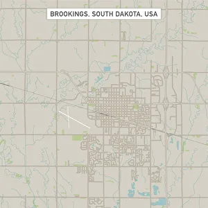
Background imagePhysical Geography Collection: Brookings South Dakota US City Street Map

Brookings South Dakota US City Street Map
Vector Illustration of a City Street Map of Brookings, South Dakota, USA. Scale 1:60, 000. All source data is in the public domain. U.S

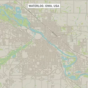
Background imagePhysical Geography Collection: Waterloo Iowa US City Street Map

Waterloo Iowa US City Street Map
Vector Illustration of a City Street Map of Waterloo, Iowa, USA. Scale 1:60, 000. All source data is in the public domain. U.S

Background imagePhysical Geography Collection: Margate Kent UK City Street Map

Margate Kent UK City Street Map
Vector Illustration of a City Street Map of Margate, Kent, UK. Included files are EPS (v10) and Hi-Res JPG. Data courtesy from Ordnance Survey: VectorMap District https

Background imagePhysical Geography Collection: Crawley West Sussex UK City Street Map

Crawley West Sussex UK City Street Map
Vector Illustration of a City Street Map of Crawley, West Sussex, UK. Included files are EPS (v10) and Hi-Res JPG. Data courtesy from Ordnance Survey: VectorMap District https

Background imagePhysical Geography Collection: Medford Oregon US City Street Map

Medford Oregon US City Street Map
Vector Illustration of a City Street Map of Medford, Oregon, USA. Scale 1:60, 000. All source data is in the public domain. U.S

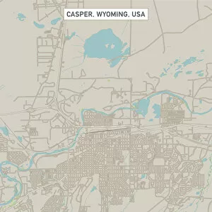
Background imagePhysical Geography Collection: Casper Wyoming US City Street Map

Casper Wyoming US City Street Map
Vector Illustration of a City Street Map of Casper, Wyoming, USA. Scale 1:60, 000. All source data is in the public domain. U.S

Background imagePhysical Geography Collection: Map of Texas 1855

Map of Texas 1855
System of Geography for the use of schools by Sidney E. Morse - Published by Harper & Brothers - New York 1855

Background imagePhysical Geography Collection: New Hampshire 1852 Map

New Hampshire 1852 Map

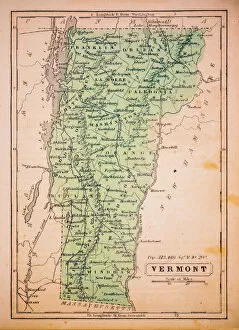
Background imagePhysical Geography Collection: Vermont 1852 Map

Vermont 1852 Map

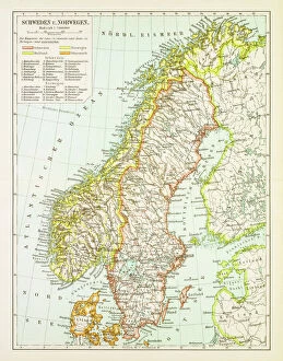
Background imagePhysical Geography Collection: Map of Sweden and Norway 1897

Map of Sweden and Norway 1897
Map of Sweden and Norway

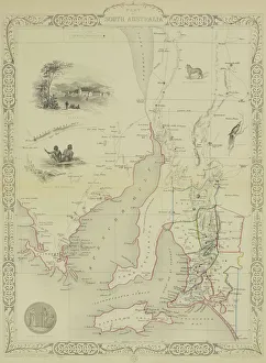
Background imagePhysical Geography Collection: Antique map of South Australia with vignettes

Antique map of South Australia with vignettes

Background imagePhysical Geography Collection: Trieste Italy map 1895

Trieste Italy map 1895
Meyers Konversations-Lexikon. Ein Nachschlagewerk des allgemeinen Wissens, 5th edition 17 volumes Bibliographisches Institut - Leipzig 1895-1897

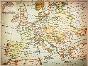
Background imagePhysical Geography Collection: Map of Europe 1721

Map of Europe 1721

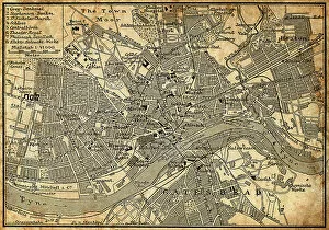
Background imagePhysical Geography Collection: Map of Newcastle Upon Tyne

Map of Newcastle Upon Tyne
Antique illustration of old Newcastle Upon Tyne map

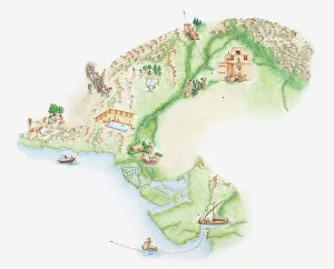
Background imagePhysical Geography Collection: Illustrated map of Indus Valley civilisation

Illustrated map of Indus Valley civilisation

Background imagePhysical Geography Collection: Mt. Huangshan in Anhui, China
Mt. Huangshan in Anhui, China morning
Background imagePhysical Geography Collection: Black rocks protruding through rough seas with stormy clouds, Crete, Greece

Black rocks protruding through rough seas with stormy clouds, Crete, Greece

Background imagePhysical Geography Collection: Mount Everest from Rongbuk Monastery

Mount Everest from Rongbuk Monastery
mt. Everest from Everest Base Camp, Tibet

Background imagePhysical Geography Collection: Cathedral Gorge within the ranges of Purnululu National Park or the Bungle Bungle Ranges

Cathedral Gorge within the ranges of Purnululu National Park or the Bungle Bungle Ranges
Feeling dwarfed by this overwhelming gorge at the Bungle Bungles of Purnululu National Park. Cathedral Gorge, an astonishing geological formation with amazing acoustics

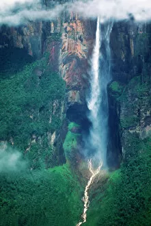
Background imagePhysical Geography Collection: Venezuela, Angel Falls, Canaima National Park

Venezuela, Angel Falls, Canaima National Park

Background imagePhysical Geography Collection: Vai Beach, Crete Island, Greece

Vai Beach, Crete Island, Greece

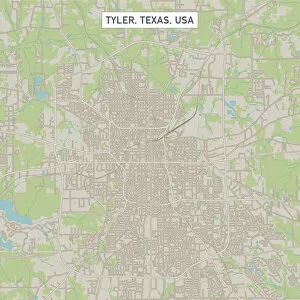
Background imagePhysical Geography Collection: Tyler Texas US City Street Map

Tyler Texas US City Street Map
Vector Illustration of a City Street Map of Tyler, Texas, USA. Scale 1:60, 000. All source data is in the public domain. U.S

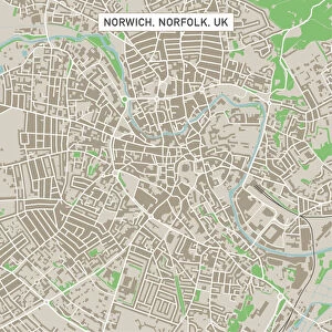
Background imagePhysical Geography Collection: Norwich Norfolk UK City Street Map

Norwich Norfolk UK City Street Map
Vector Illustration of a City Street Map of Norwich, Norfolk, UK. Included files are EPS (v10) and Hi-Res JPG. Data courtesy from Ordnance Survey: VectorMap District https

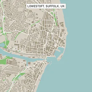
Background imagePhysical Geography Collection: Lowestoft Suffolk UK City Street Map

Lowestoft Suffolk UK City Street Map
Vector Illustration of a City Street Map of Lowestoft, Suffolk, UK. Included files are EPS (v10) and Hi-Res JPG. Data courtesy from Ordnance Survey: VectorMap District https

Background imagePhysical Geography Collection: Bury St Edmunds Suffolk UK City Street Map

Bury St Edmunds Suffolk UK City Street Map
Vector Illustration of a City Street Map of Bury St Edmunds, Suffolk, UK. Included files are EPS (v10) and Hi-Res JPG. Data courtesy from Ordnance Survey: VectorMap District https

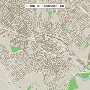
Background imagePhysical Geography Collection: Luton Bedfordshire UK City Street Map

Luton Bedfordshire UK City Street Map
Vector Illustration of a City Street Map of Luton, Bedfordshire, UK. Included files are EPS (v10) and Hi-Res JPG. Data courtesy from Ordnance Survey: VectorMap District https

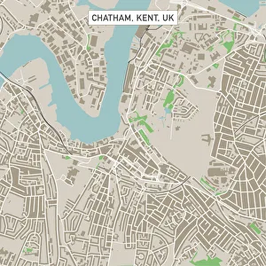
Background imagePhysical Geography Collection: Chatham Kent UK City Street Map

Chatham Kent UK City Street Map
Vector Illustration of a City Street Map of Chatham, Kent, UK. Included files are EPS (v10) and Hi-Res JPG. Data courtesy from Ordnance Survey: VectorMap District https

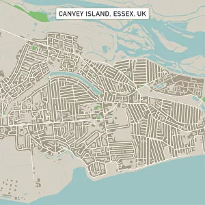
Background imagePhysical Geography Collection: Canvey Island Essex UK City Street Map

Canvey Island Essex UK City Street Map
Vector Illustration of a City Street Map of Canvey Island, Essex, UK. Included files are EPS (v10) and Hi-Res JPG. Data courtesy from Ordnance Survey: VectorMap District https

Background imagePhysical Geography Collection: Ilford London UK City Street Map

Ilford London UK City Street Map
Vector Illustration of a City Street Map of Ilford, London, UK. Included files are EPS (v10) and Hi-Res JPG. Data courtesy from Ordnance Survey: VectorMap District https

Background imagePhysical Geography Collection: Boston Lincolnshire UK City Street Map

Boston Lincolnshire UK City Street Map
Vector Illustration of a City Street Map of Boston, Lincolnshire, UK. Included files are EPS (v10) and Hi-Res JPG

Background imagePhysical Geography Collection: Gallery of Maps, Vatican, published in 1878

Gallery of Maps, Vatican, published in 1878
The Gallery of Maps (Latin: Galleria delle carte geografiche) in the Vatican. Wood engraving, published in 1878

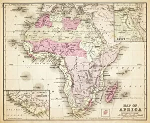
Background imagePhysical Geography Collection: Map of Africa 1883

Map of Africa 1883
Warrens Common School Geography

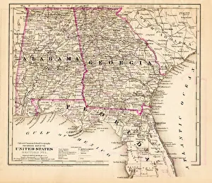
Background imagePhysical Geography Collection: Alabama Florida Georgia map 1881

Alabama Florida Georgia map 1881
Coltons Common School Geography 1881 New York Sheldon and Co

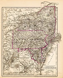
Background imagePhysical Geography Collection: New York Maryland Pennsylvania map 1881

New York Maryland Pennsylvania map 1881
Coltons Common School Geography 1881 New York Sheldon and Co

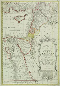
Background imagePhysical Geography Collection: Antique map of the Middle East with Egypt, Syria, and Israel

Antique map of the Middle East with Egypt, Syria, and Israel. Date unknown

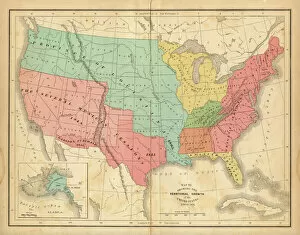
Background imagePhysical Geography Collection: Map of United States 1876

Map of United States 1876
Map of United States showing the territorial growth between 1780 and 1876

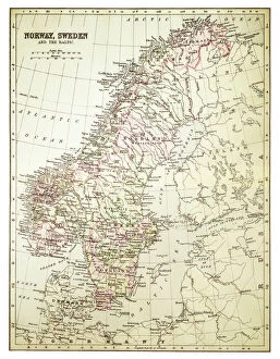
Background imagePhysical Geography Collection: Map of Norway and Sweden 1894

Map of Norway and Sweden 1894
Map of Norway and Sweden

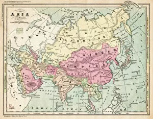
Background imagePhysical Geography Collection: Asia map 1875

Asia map 1875
The Independent Course Comprehensive Geography by James Monteith, A.S. Barnes & Co, New York & Chicago 1875

Background imagePhysical Geography Collection: USA New England states map 1875

USA New England states map 1875
The Independent Course Comprehensive Geography by James Monteith, A.S. Barnes & Co, New York & Chicago 1875

Background imagePhysical Geography Collection: India map 1881

India map 1881
Encyclopedia Britannica 9th Edition Vol XII Philadelphia j.M. Stoddart & Co 1881

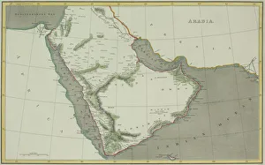
Background imagePhysical Geography Collection: Antique map of Arabian peninsula and Persia

Antique map of Arabian peninsula and Persia

Background imagePhysical Geography Collection: Antique map of Israel

Antique map of Israel


All Professionally Made to Order for Quick Shipping

"Exploring the Diverse Landscapes: A Journey through Physical Geography" Embark on a captivating journey through physical geography as we delve into the intricate details of our world's diverse landscapes. From the political map of Africa, showcasing its nations and boundaries, to Mappa Mundi - an exquisite ink and color creation from 1265 London that offers a glimpse into medieval cartography. Travel back in time with the antique maps such as Map of Ireland (1897), Great Britain and Ireland (1867), Sicily (1895), Palestine (1875), and even Tasmania. These historical artifacts not only provide geographical information but also offer insights into how our understanding of land has evolved over centuries. Discover the wonders hidden within Antarctica as you explore a unique map overlaid with illustrations of sea gulls, penguins, elephant seals, shrimp, and buildings. Witness China unfold before your eyes through its intricately detailed map or marvel at Earth's tectonic plates marked by lines on a global scale. Experience rare moments captured by nature itself like never before – witness a snow-covered United Kingdom during January 2010 or immerse yourself in Earth's topographic and bathymetric features depicted meticulously on one single map. Physical geography is more than just studying landforms; it is about unraveling stories etched onto every inch of our planet's surface. Join us on this fascinating expedition where maps become windows to exploration, knowledge, and appreciation for the remarkable diversity that exists right beneath our feet.