Fraud Blocker Skip to main content

Physical Geography Collection (page 7)

"Exploring the Diverse Landscapes

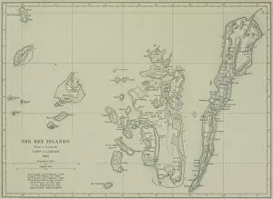
Background imagePhysical Geography Collection: Antique map of the Key Islands

Antique map of the Key Islands

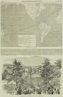
Background imagePhysical Geography Collection: Page from the Illustrated London News with map

Page from the Illustrated London News with map

Background imagePhysical Geography Collection: Antique map of Asia Minor

Antique map of Asia Minor

Background imagePhysical Geography Collection: Stuttgart map 1895

Stuttgart map 1895
Meyers Konversations-Lexikon. Ein Nachschlagewerk des allgemeinen Wissens, 5th edition 17 volumes Bibliographisches Institut - Leipzig 1895-1897

Background imagePhysical Geography Collection: Map of Brazil 1878

Map of Brazil 1878
Encyclopedia Britannica 9th Edition Vol II New York, Samuel Hall 1878

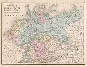
Background imagePhysical Geography Collection: Prussia and german states map 1867

Prussia and german states map 1867
Mitchellas Modern Atlas - Published by E.H. Butler and Co - Philadelphia 1867

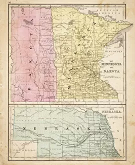
Background imagePhysical Geography Collection: Dakota Missesota Nebraska map 1867

Dakota Missesota Nebraska map 1867
Mitchellas Modern Atlas - Published by E.H. Butler and Co - Philadelphia 1867

Background imagePhysical Geography Collection: St. Elias National Park

St. Elias National Park
Park is included in an International Biosphere Reserve and is part of UNESCO World Heritage Site

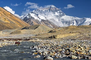
Background imagePhysical Geography Collection: mt. Everest from Everest Base Camp, Tibet

mt. Everest from Everest Base Camp, Tibet

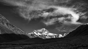
Background imagePhysical Geography Collection: mt. Everest from Everest Base Camp, Tibet, China

mt. Everest from Everest Base Camp, Tibet, China

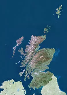
Background imagePhysical Geography Collection: Scotland with Shetland, United Kingdom, True Colour Satellite Image

Scotland with Shetland, United Kingdom, True Colour Satellite Image
Satellite view of Scotland including Shetland, United Kingdom. This image was compiled from data acquired by LANDSAT 5 & 7 satellites

Background imagePhysical Geography Collection: Otto Schmidt, Soviet Arctic explorer

Otto Schmidt, Soviet Arctic explorer
Otto Yulievich Schmidt (left, 1891-1956), Soviet Arctic explorer and geophysicist, greeting one of the rescue pilots (right) during the Chelyuskin expedition to the Arctic

Background imagePhysical Geography Collection: Crystal skull and Maya pyramid, artwork

Crystal skull and Maya pyramid, artwork
Crystal skull and Maya pyramid, computer artwork

Background imagePhysical Geography Collection: Spider rock, Arizona, USA

Spider rock, Arizona, USA
Spider Rock (lower centre left). This eroded sandstone spire is located in Canyon de Chelley National Monument, Arizona, USA

Background imagePhysical Geography Collection: Clouds Over A Tomb, Poulnabrone Dolmen, Burren, County Clare, Republic Of Ireland

Clouds Over A Tomb, Poulnabrone Dolmen, Burren, County Clare, Republic Of Ireland

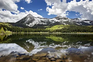
Background imagePhysical Geography Collection: Snowcapped East Beckwith Mountain In The Background Reflected In Lost Lake Slough; Colorado

Snowcapped East Beckwith Mountain In The Background Reflected In Lost Lake Slough; Colorado, United States Of America

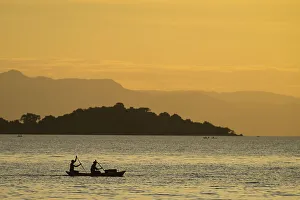
Background imagePhysical Geography Collection: Silhouette Of Fishermen In Dugout Canoe Leaving Cape Maclear In The Evening, Lake Malawi; Malawi

Silhouette Of Fishermen In Dugout Canoe Leaving Cape Maclear In The Evening, Lake Malawi; Malawi

Background imagePhysical Geography Collection: Antique Finland Map

Antique Finland Map
Finland Map, - Antique style. Includes mountains and water bodies. High detail - vector illustration

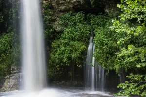
Background imagePhysical Geography Collection: Water Pours Over Natural Falls After A Heavy Rain; Oklahoma, United States Of America

Water Pours Over Natural Falls After A Heavy Rain; Oklahoma, United States Of America

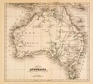
Background imagePhysical Geography Collection: Map of Australia 1874

Map of Australia 1874
Map of Australia

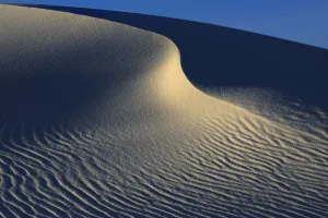
Background imagePhysical Geography Collection: Irregular ripples on gypsum sand dunes created by high winds, White Sands National Monument

Irregular ripples on gypsum sand dunes created by high winds, White Sands National Monument, Chihuahuan Desert, New Mexico, USA, December 2012

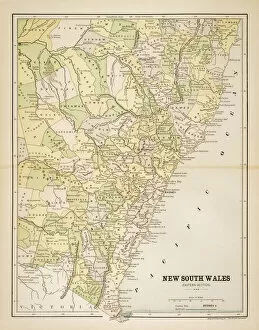
Background imagePhysical Geography Collection: Map of New South Wales 1883

Map of New South Wales 1883
Map of the state of New South Wales - Australia

Background imagePhysical Geography Collection: world map 1882

world map 1882
french map of the world showing the trajectories of travels and discovery around 1780 and 1822 - map is from 1882

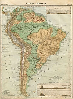
Background imagePhysical Geography Collection: South America Map Illustration, Travel, Exploration, Antique 1871 Illustration

South America Map Illustration, Travel, Exploration, Antique 1871 Illustration
Color stock photo of an antique South America map illustration. Salvaged from an 1871 geography book

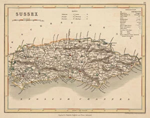
Background imagePhysical Geography Collection: Hand coloured antique map of Sussex England

Hand coloured antique map of Sussex England
This detailed map of Sussex is from Dugdales England and Wales Delineated. The map was drawn by G.Cole and engraved by John Roper for publication first in The Beauties Of England And Wales

Background imagePhysical Geography Collection: Las Cruces New Mexico US City Street Map

Las Cruces New Mexico US City Street Map
Vector Illustration of a City Street Map of Las Cruces, New Mexico, USA. Scale 1:60, 000. All source data is in the public domain. U.S

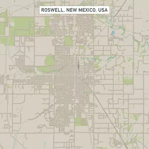
Background imagePhysical Geography Collection: Roswell New Mexico US City Street Map

Roswell New Mexico US City Street Map
Vector Illustration of a City Street Map of Roswell, New Mexico, USA. Scale 1:60, 000. All source data is in the public domain. U.S

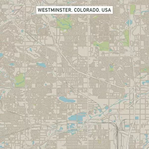
Background imagePhysical Geography Collection: Westminster Colorado US City Street Map

Westminster Colorado US City Street Map
Vector Illustration of a City Street Map of Westminster, Colorado, USA. Scale 1:60, 000. All source data is in the public domain. U.S

Background imagePhysical Geography Collection: Bismarck North Dakota US City Street Map

Bismarck North Dakota US City Street Map
Vector Illustration of a City Street Map of Bismarck, North Dakota, USA. Scale 1:60, 000. All source data is in the public domain. U.S

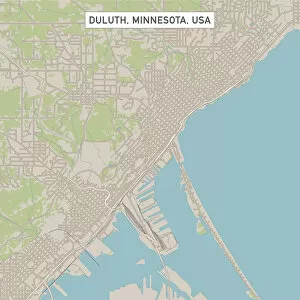
Background imagePhysical Geography Collection: Duluth Minnesota US City Street Map

Duluth Minnesota US City Street Map
Vector Illustration of a City Street Map of Duluth, Minnesota, USA. Scale 1:60, 000. All source data is in the public domain. U.S

Background imagePhysical Geography Collection: Grand Island Nebraska US City Street Map

Grand Island Nebraska US City Street Map
Vector Illustration of a City Street Map of Grand Island, Nebraska, USA. Scale 1:60, 000. All source data is in the public domain. U.S

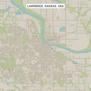
Background imagePhysical Geography Collection: Lawrence Kansas US City Street Map

Lawrence Kansas US City Street Map
Vector Illustration of a City Street Map of Lawrence, Kansas, USA. Scale 1:60, 000. All source data is in the public domain. U.S

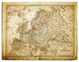
Background imagePhysical Geography Collection: old map of central europe

old map of central europe
an old map form 1870, showing central europe countries

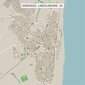
Background imagePhysical Geography Collection: Skegness Lincolnshire UK City Street Map

Skegness Lincolnshire UK City Street Map
Vector Illustration of a City Street Map of Skegness, Lincolnshire, UK. Included files are EPS (v10) and Hi-Res JPG. Data courtesy from Ordnance Survey: VectorMap District https

Background imagePhysical Geography Collection: Great Yarmouth Norfolk UK City Street Map

Great Yarmouth Norfolk UK City Street Map
Vector Illustration of a City Street Map of Great Yarmouth, Norfolk, UK. Included files are EPS (v10) and Hi-Res JPG. Data courtesy from Ordnance Survey: VectorMap District https

Background imagePhysical Geography Collection: Spalding Lincolnshire UK City Street Map

Spalding Lincolnshire UK City Street Map
Vector Illustration of a City Street Map of Spalding, Lincolnshire, UK. Included files are EPS (v10) and Hi-Res JPG. Data courtesy from Ordnance Survey: VectorMap District https

Background imagePhysical Geography Collection: Wymondham Norfolk UK City Street Map

Wymondham Norfolk UK City Street Map
Vector Illustration of a City Street Map of Wymondham, Norfolk, UK. Included files are EPS (v10) and Hi-Res JPG. Data courtesy from Ordnance Survey: VectorMap District https

Background imagePhysical Geography Collection: Gorleston-on-Sea Norfolk UK City Street Map

Gorleston-on-Sea Norfolk UK City Street Map
Vector Illustration of a City Street Map of Gorleston-on-Sea, Norfolk, UK. Included files are EPS (v10) and Hi-Res JPG. Data courtesy from Ordnance Survey: VectorMap District https

Background imagePhysical Geography Collection: Wisbech Cambridgeshire UK City Street Map

Wisbech Cambridgeshire UK City Street Map
Vector Illustration of a City Street Map of Wisbech, Cambridgeshire, UK. Included files are EPS (v10) and Hi-Res JPG. Data courtesy from Ordnance Survey: VectorMap District https

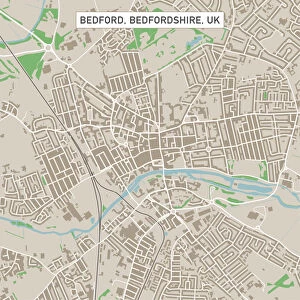
Background imagePhysical Geography Collection: Bedford Bedfordshire UK City Street Map

Bedford Bedfordshire UK City Street Map
Vector Illustration of a City Street Map of Bedford, Bedfordshire, UK. Included files are EPS (v10) and Hi-Res JPG. Data courtesy from Ordnance Survey: VectorMap District https

Background imagePhysical Geography Collection: Thetford Norfolk UK City Street Map

Thetford Norfolk UK City Street Map
Vector Illustration of a City Street Map of Thetford, Norfolk, UK. Included files are EPS (v10) and Hi-Res JPG. Data courtesy from Ordnance Survey: VectorMap District https

Background imagePhysical Geography Collection: Cambridge Cambridgeshire UK City Street Map

Cambridge Cambridgeshire UK City Street Map
Vector Illustration of a City Street Map of Cambridge, Cambridgeshire, UK. Included files are EPS (v10) and Hi-Res JPG. Data courtesy from Ordnance Survey: VectorMap District https

Background imagePhysical Geography Collection: Welwyn Garden City Hertfordshire UK City Street Map

Welwyn Garden City Hertfordshire UK City Street Map
Vector Illustration of a City Street Map of Welwyn Garden City, Hertfordshire, UK. Included files are EPS (v10) and Hi-Res JPG

Background imagePhysical Geography Collection: Stevenage Hertfordshire UK City Street Map

Stevenage Hertfordshire UK City Street Map
Vector Illustration of a City Street Map of Stevenage, Hertfordshire, UK. Included files are EPS (v10) and Hi-Res JPG. Data courtesy from Ordnance Survey: VectorMap District https

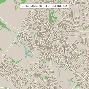
Background imagePhysical Geography Collection: St Albans Hertfordshire UK City Street Map

St Albans Hertfordshire UK City Street Map
Vector Illustration of a City Street Map of St Albans, Hertfordshire, UK. Included files are EPS (v10) and Hi-Res JPG. Data courtesy from Ordnance Survey: VectorMap District https

Background imagePhysical Geography Collection: Colchester Essex UK City Street Map

Colchester Essex UK City Street Map
Vector Illustration of a City Street Map of Colchester, Essex, UK. Included files are EPS (v10) and Hi-Res JPG. Data courtesy from Ordnance Survey: VectorMap District https

Background imagePhysical Geography Collection: Rochester Kent UK City Street Map

Rochester Kent UK City Street Map
Vector Illustration of a City Street Map of Rochester, Kent, UK. Included files are EPS (v10) and Hi-Res JPG. Data courtesy from Ordnance Survey: VectorMap District https


All Professionally Made to Order for Quick Shipping

"Exploring the Diverse Landscapes: A Journey through Physical Geography" Embark on a captivating journey through physical geography as we delve into the intricate details of our world's diverse landscapes. From the political map of Africa, showcasing its nations and boundaries, to Mappa Mundi - an exquisite ink and color creation from 1265 London that offers a glimpse into medieval cartography. Travel back in time with the antique maps such as Map of Ireland (1897), Great Britain and Ireland (1867), Sicily (1895), Palestine (1875), and even Tasmania. These historical artifacts not only provide geographical information but also offer insights into how our understanding of land has evolved over centuries. Discover the wonders hidden within Antarctica as you explore a unique map overlaid with illustrations of sea gulls, penguins, elephant seals, shrimp, and buildings. Witness China unfold before your eyes through its intricately detailed map or marvel at Earth's tectonic plates marked by lines on a global scale. Experience rare moments captured by nature itself like never before – witness a snow-covered United Kingdom during January 2010 or immerse yourself in Earth's topographic and bathymetric features depicted meticulously on one single map. Physical geography is more than just studying landforms; it is about unraveling stories etched onto every inch of our planet's surface. Join us on this fascinating expedition where maps become windows to exploration, knowledge, and appreciation for the remarkable diversity that exists right beneath our feet.