Fraud Blocker Skip to main content

Physical Geography Collection (page 8)

"Exploring the Diverse Landscapes

Background imagePhysical Geography Collection: Grand Island Nebraska US City Street Map

Grand Island Nebraska US City Street Map
Vector Illustration of a City Street Map of Grand Island, Nebraska, USA. Scale 1:60, 000. All source data is in the public domain. U.S

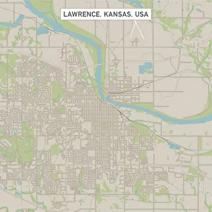
Background imagePhysical Geography Collection: Lawrence Kansas US City Street Map

Lawrence Kansas US City Street Map
Vector Illustration of a City Street Map of Lawrence, Kansas, USA. Scale 1:60, 000. All source data is in the public domain. U.S

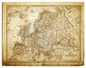
Background imagePhysical Geography Collection: old map of central europe

old map of central europe
an old map form 1870, showing central europe countries

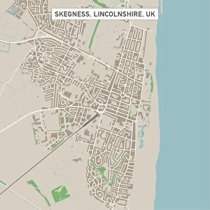
Background imagePhysical Geography Collection: Skegness Lincolnshire UK City Street Map

Skegness Lincolnshire UK City Street Map
Vector Illustration of a City Street Map of Skegness, Lincolnshire, UK. Included files are EPS (v10) and Hi-Res JPG. Data courtesy from Ordnance Survey: VectorMap District https

Background imagePhysical Geography Collection: Great Yarmouth Norfolk UK City Street Map

Great Yarmouth Norfolk UK City Street Map
Vector Illustration of a City Street Map of Great Yarmouth, Norfolk, UK. Included files are EPS (v10) and Hi-Res JPG. Data courtesy from Ordnance Survey: VectorMap District https

Background imagePhysical Geography Collection: Spalding Lincolnshire UK City Street Map

Spalding Lincolnshire UK City Street Map
Vector Illustration of a City Street Map of Spalding, Lincolnshire, UK. Included files are EPS (v10) and Hi-Res JPG. Data courtesy from Ordnance Survey: VectorMap District https

Background imagePhysical Geography Collection: Wymondham Norfolk UK City Street Map

Wymondham Norfolk UK City Street Map
Vector Illustration of a City Street Map of Wymondham, Norfolk, UK. Included files are EPS (v10) and Hi-Res JPG. Data courtesy from Ordnance Survey: VectorMap District https

Background imagePhysical Geography Collection: Gorleston-on-Sea Norfolk UK City Street Map

Gorleston-on-Sea Norfolk UK City Street Map
Vector Illustration of a City Street Map of Gorleston-on-Sea, Norfolk, UK. Included files are EPS (v10) and Hi-Res JPG. Data courtesy from Ordnance Survey: VectorMap District https

Background imagePhysical Geography Collection: Wisbech Cambridgeshire UK City Street Map

Wisbech Cambridgeshire UK City Street Map
Vector Illustration of a City Street Map of Wisbech, Cambridgeshire, UK. Included files are EPS (v10) and Hi-Res JPG. Data courtesy from Ordnance Survey: VectorMap District https

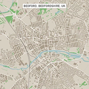
Background imagePhysical Geography Collection: Bedford Bedfordshire UK City Street Map

Bedford Bedfordshire UK City Street Map
Vector Illustration of a City Street Map of Bedford, Bedfordshire, UK. Included files are EPS (v10) and Hi-Res JPG. Data courtesy from Ordnance Survey: VectorMap District https

Background imagePhysical Geography Collection: Thetford Norfolk UK City Street Map

Thetford Norfolk UK City Street Map
Vector Illustration of a City Street Map of Thetford, Norfolk, UK. Included files are EPS (v10) and Hi-Res JPG. Data courtesy from Ordnance Survey: VectorMap District https

Background imagePhysical Geography Collection: Cambridge Cambridgeshire UK City Street Map

Cambridge Cambridgeshire UK City Street Map
Vector Illustration of a City Street Map of Cambridge, Cambridgeshire, UK. Included files are EPS (v10) and Hi-Res JPG. Data courtesy from Ordnance Survey: VectorMap District https

Background imagePhysical Geography Collection: Welwyn Garden City Hertfordshire UK City Street Map

Welwyn Garden City Hertfordshire UK City Street Map
Vector Illustration of a City Street Map of Welwyn Garden City, Hertfordshire, UK. Included files are EPS (v10) and Hi-Res JPG

Background imagePhysical Geography Collection: Stevenage Hertfordshire UK City Street Map

Stevenage Hertfordshire UK City Street Map
Vector Illustration of a City Street Map of Stevenage, Hertfordshire, UK. Included files are EPS (v10) and Hi-Res JPG. Data courtesy from Ordnance Survey: VectorMap District https

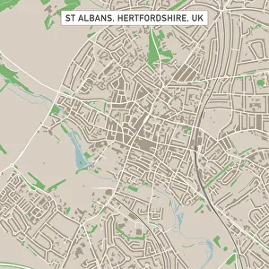
Background imagePhysical Geography Collection: St Albans Hertfordshire UK City Street Map

St Albans Hertfordshire UK City Street Map
Vector Illustration of a City Street Map of St Albans, Hertfordshire, UK. Included files are EPS (v10) and Hi-Res JPG. Data courtesy from Ordnance Survey: VectorMap District https

Background imagePhysical Geography Collection: Colchester Essex UK City Street Map

Colchester Essex UK City Street Map
Vector Illustration of a City Street Map of Colchester, Essex, UK. Included files are EPS (v10) and Hi-Res JPG. Data courtesy from Ordnance Survey: VectorMap District https

Background imagePhysical Geography Collection: Rochester Kent UK City Street Map

Rochester Kent UK City Street Map
Vector Illustration of a City Street Map of Rochester, Kent, UK. Included files are EPS (v10) and Hi-Res JPG. Data courtesy from Ordnance Survey: VectorMap District https

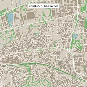
Background imagePhysical Geography Collection: Basildon Essex UK City Street Map

Basildon Essex UK City Street Map
Vector Illustration of a City Street Map of Basildon, Essex, UK. Included files are EPS (v10) and Hi-Res JPG. Data courtesy from Ordnance Survey: VectorMap District https

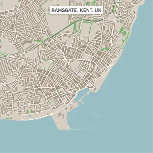
Background imagePhysical Geography Collection: Ramsgate Kent UK City Street Map

Ramsgate Kent UK City Street Map
Vector Illustration of a City Street Map of Ramsgate, Kent, UK. Included files are EPS (v10) and Hi-Res JPG. Data courtesy from Ordnance Survey: VectorMap District https

Background imagePhysical Geography Collection: Southend-on-Sea Essex UK City Street Map

Southend-on-Sea Essex UK City Street Map
Vector Illustration of a City Street Map of Southend-on-Sea, Essex, UK. Included files are EPS (v10) and Hi-Res JPG. Data courtesy from Ordnance Survey: VectorMap District https

Background imagePhysical Geography Collection: Harlow Essex UK City Street Map

Harlow Essex UK City Street Map
Vector Illustration of a City Street Map of Harlow, Essex, UK. Included files are EPS (v10) and Hi-Res JPG. Data courtesy from Ordnance Survey: VectorMap District https

Background imagePhysical Geography Collection: Dover Kent UK City Street Map

Dover Kent UK City Street Map
Vector Illustration of a City Street Map of Dover, Kent, UK. Included files are EPS (v10) and Hi-Res JPG. Data courtesy from Ordnance Survey: VectorMap District https

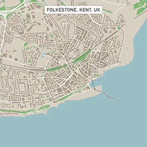
Background imagePhysical Geography Collection: Folkestone Kent UK City Street Map

Folkestone Kent UK City Street Map
Vector Illustration of a City Street Map of Folkestone, Kent, UK. Included files are EPS (v10) and Hi-Res JPG. Data courtesy from Ordnance Survey: VectorMap District https

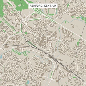
Background imagePhysical Geography Collection: Ashford Kent UK City Street Map

Ashford Kent UK City Street Map
Vector Illustration of a City Street Map of Ashford, Kent, UK. Included files are EPS (v10) and Hi-Res JPG. Data courtesy from Ordnance Survey: VectorMap District https

Background imagePhysical Geography Collection: Hastings East Sussex UK City Street Map

Hastings East Sussex UK City Street Map
Vector Illustration of a City Street Map of Hastings, East Sussex, UK. Included files are EPS (v10) and Hi-Res JPG. Data courtesy from Ordnance Survey: VectorMap District https

Background imagePhysical Geography Collection: Royal Tunbridge Wells Kent UK City Street Map

Royal Tunbridge Wells Kent UK City Street Map
Vector Illustration of a City Street Map of Royal Tunbridge Wells, Kent, UK. Included files are EPS (v10) and Hi-Res JPG. Data courtesy from Ordnance Survey: VectorMap District https

Background imagePhysical Geography Collection: Ealing London UK City Street Map

Ealing London UK City Street Map
Vector Illustration of a City Street Map of Ealing, London, UK. Included files are EPS (v10) and Hi-Res JPG. Data courtesy from Ordnance Survey: VectorMap District https

Background imagePhysical Geography Collection: Felixstowe Suffolk UK City Street Map

Felixstowe Suffolk UK City Street Map
Vector Illustration of a City Street Map of Felixstowe, Suffolk, UK. Included files are EPS (v10) and Hi-Res JPG. Data courtesy from Ordnance Survey: VectorMap District https

Background imagePhysical Geography Collection: Clacton-on-Sea Essex UK City Street Map

Clacton-on-Sea Essex UK City Street Map
Vector Illustration of a City Street Map of Clacton-on-Sea, Essex, UK. Included files are EPS (v10) and Hi-Res JPG. Data courtesy from Ordnance Survey: VectorMap District https

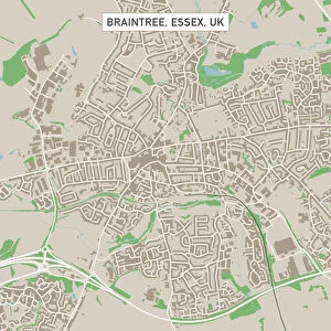
Background imagePhysical Geography Collection: Braintree Essex UK City Street Map

Braintree Essex UK City Street Map
Vector Illustration of a City Street Map of Braintree, Essex, UK. Included files are EPS (v10) and Hi-Res JPG. Data courtesy from Ordnance Survey: VectorMap District https

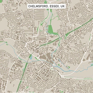
Background imagePhysical Geography Collection: Chelmsford Essex UK City Street Map

Chelmsford Essex UK City Street Map
Vector Illustration of a City Street Map of Chelmsford, Essex, UK. Included files are EPS (v10) and Hi-Res JPG. Data courtesy from Ordnance Survey: VectorMap District https

Background imagePhysical Geography Collection: Hemel Hempstead Hertfordshire UK City Street Map

Hemel Hempstead Hertfordshire UK City Street Map
Vector Illustration of a City Street Map of Hemel Hempstead, Hertfordshire, UK. Included files are EPS (v10) and Hi-Res JPG

Background imagePhysical Geography Collection: Burgess Hill West Sussex UK City Street Map

Burgess Hill West Sussex UK City Street Map
Vector Illustration of a City Street Map of Burgess Hill, West Sussex, UK. Included files are EPS (v10) and Hi-Res JPG. Data courtesy from Ordnance Survey: VectorMap District https

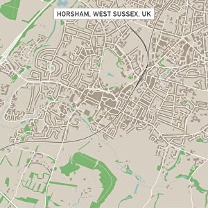
Background imagePhysical Geography Collection: Horsham West Sussex UK City Street Map

Horsham West Sussex UK City Street Map
Vector Illustration of a City Street Map of Horsham, West Sussex, UK. Included files are EPS (v10) and Hi-Res JPG. Data courtesy from Ordnance Survey: VectorMap District https

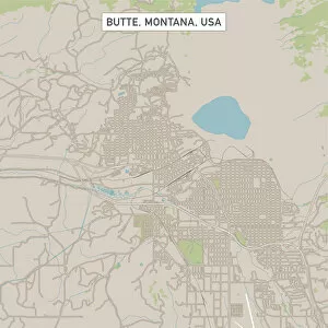
Background imagePhysical Geography Collection: Butte Montana US City Street Map

Butte Montana US City Street Map
Vector Illustration of a City Street Map of Butte, Montana, USA. Scale 1:60, 000. All source data is in the public domain. U.S

Background imagePhysical Geography Collection: Eastbourne East Sussex UK City Street Map

Eastbourne East Sussex UK City Street Map
Vector Illustration of a City Street Map of Eastbourne, East Sussex, UK. Included files are EPS (v10) and Hi-Res JPG. Data courtesy from Ordnance Survey: VectorMap District https

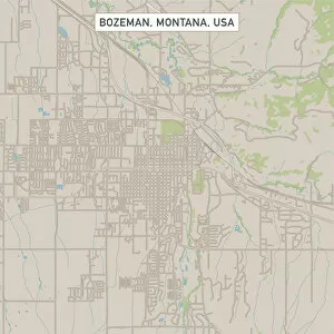
Background imagePhysical Geography Collection: Bozeman Montana US City Street Map

Bozeman Montana US City Street Map
Vector Illustration of a City Street Map of Bozeman, Montana, USA. Scale 1:60, 000. All source data is in the public domain. U.S

Background imagePhysical Geography Collection: Wimbledon London UK City Street Map

Wimbledon London UK City Street Map
Vector Illustration of a City Street Map of Wimbledon, London, UK. Included files are EPS (v10) and Hi-Res JPG. Data courtesy from Ordnance Survey: VectorMap District https

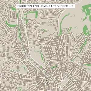
Background imagePhysical Geography Collection: Brighton And Hove East Sussex UK City Street Map

Brighton And Hove East Sussex UK City Street Map
Vector Illustration of a City Street Map of Brighton And Hove, East Sussex, UK. Included files are EPS (v10) and Hi-Res JPG

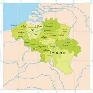
Background imagePhysical Geography Collection: Belgium Vector Map

Belgium Vector Map
Highly detailed vector map of Belgium. File was created on July 14, 2011. The colors in the.eps-file are ready for print (CMYK). Included files: EPS (v8) and Hi-Res JPG

Background imagePhysical Geography Collection: Journey Under the Stars Alt Horizontal Version

Journey Under the Stars Alt Horizontal Version
A majestic hot air balloon soars under the stars of the Milky Way, over the desert - Mesquite Dunes of Death Valley National Park

Background imagePhysical Geography Collection: Balloons at sunrise, Goreme, Cappadocia, Anatolia, Turkey

Balloons at sunrise, Goreme, Cappadocia, Anatolia, Turkey

Background imagePhysical Geography Collection: Cappadocia balloons at sunrise, Goreme, Anatolia, Turkey

Cappadocia balloons at sunrise, Goreme, Anatolia, Turkey

Background imagePhysical Geography Collection: Cappadocia - hot air balloons, Goreme, Anatolia, Turkey

Cappadocia - hot air balloons, Goreme, Anatolia, Turkey

Background imagePhysical Geography Collection: Balos Beach, Gramvousa Peninsula, Crete Island, Greece

Balos Beach, Gramvousa Peninsula, Crete Island, Greece

Background imagePhysical Geography Collection: Crete Island- Vai Beach before sunrise, Greece

Crete Island- Vai Beach before sunrise, Greece

Background imagePhysical Geography Collection: Sunset at Balos Beach, Crete Island, Greece

Sunset at Balos Beach, Crete Island, Greece

Background imagePhysical Geography Collection: Panoramic sunset at Balos Beach, Crete Island, Greece

Panoramic sunset at Balos Beach, Crete Island, Greece


All Professionally Made to Order for Quick Shipping

"Exploring the Diverse Landscapes: A Journey through Physical Geography" Embark on a captivating journey through physical geography as we delve into the intricate details of our world's diverse landscapes. From the political map of Africa, showcasing its nations and boundaries, to Mappa Mundi - an exquisite ink and color creation from 1265 London that offers a glimpse into medieval cartography. Travel back in time with the antique maps such as Map of Ireland (1897), Great Britain and Ireland (1867), Sicily (1895), Palestine (1875), and even Tasmania. These historical artifacts not only provide geographical information but also offer insights into how our understanding of land has evolved over centuries. Discover the wonders hidden within Antarctica as you explore a unique map overlaid with illustrations of sea gulls, penguins, elephant seals, shrimp, and buildings. Witness China unfold before your eyes through its intricately detailed map or marvel at Earth's tectonic plates marked by lines on a global scale. Experience rare moments captured by nature itself like never before – witness a snow-covered United Kingdom during January 2010 or immerse yourself in Earth's topographic and bathymetric features depicted meticulously on one single map. Physical geography is more than just studying landforms; it is about unraveling stories etched onto every inch of our planet's surface. Join us on this fascinating expedition where maps become windows to exploration, knowledge, and appreciation for the remarkable diversity that exists right beneath our feet.