Fraud Blocker Skip to main content

Maps Collection (page 3)

Maps have always been a fascinating window into the past, allowing us to explore and understand the world as it once was

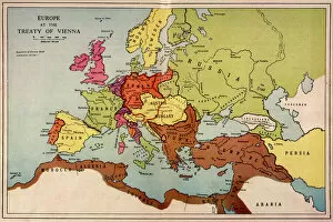
Background imageMaps Collection: 1815 Europe Map

1815 Europe Map
A map of Europe at the time of the Congress of Vienna

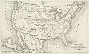
Background imageMaps Collection: USA Railway Map

USA Railway Map
Transcontinental railway map of the United States of America and the adjoining British possessions. Date: 1883

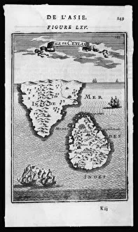
Background imageMaps Collection: Map / Asia / Sri Lanka 1719

Map / Asia / Sri Lanka 1719
ISLE DE CEYLAN and southern India

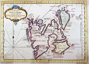
Background imageMaps Collection: Map of Spitsbergen, Norway

Map of Spitsbergen, Norway
Map of Spitsbergen, Svalbard, Norway Date: 1758

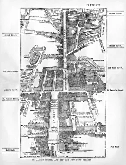
Background imageMaps Collection: Map of the St. Jamess & Bond Street areas of London

Map of the St. Jamess & Bond Street areas of London
A map of the St. Jamess and Bond Street areas of London, with a number of key landmarks annotated including the famous gentlemens clubs of St

Background imageMaps Collection: Plan of the Meersbrook Bank Estate near Sheffield, 1876

Plan of the Meersbrook Bank Estate near Sheffield, 1876
Scale 60 inches : 1 mile.Original at Sheffield Local Studies Library:s 25 (8) L

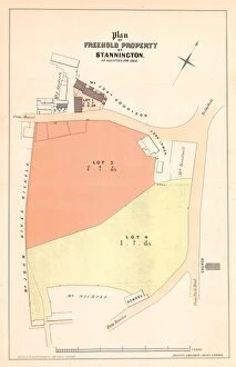
Background imageMaps Collection: Plan of The Crown and Glove Public house and other land and property at Stannington, for sale

Plan of The Crown and Glove Public house and other land and property at Stannington, for sale
Lot 1 the old established Public House known by the sign of the Crown and Glove at Stannington, with barn, cohouse, vacant ground, outbuildings and appurtenances

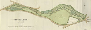
Background imageMaps Collection: Plan of Endcliffe Park, 1897

Plan of Endcliffe Park, 1897
Image from Sheffield City Council, General Purposes and Parks Committee - Plans and Description of Parks and Recreation Grounds (Local Studies Library 352.7 SQ)

Background imageMaps Collection: Plan of Sheffield, 19th cent

Plan of Sheffield, 19th cent
From an original at Sheffield Libraries: y09469

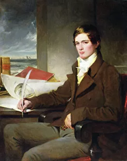
Background imageMaps Collection: Portrait of a Young Gentleman (oil on canvas)

Portrait of a Young Gentleman (oil on canvas)
XMV2639952 Portrait of a Young Gentleman (oil on canvas) by English School, (19th century); Private Collection; English, out of copyright

Background imageMaps Collection: Map / Britain / Scotland

Map / Britain / Scotland
A map of Scotland 1817

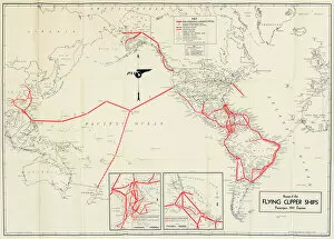
Background imageMaps Collection: Pan American Airways route map

Pan American Airways route map
Pan American Airways System global route map of the Flying Clipper Ships (passengers, mail, express). circa 1938

Background imageMaps Collection: Coggeshall, Essex

Coggeshall, Essex
Map of Coggeshall, Essex, by John Agas, 21 May 1619 Date: 21st May 1619

Background imageMaps Collection: Map of Florence

Map of Florence
Map of the city of Florence, Italy and the River Arno Date: 19th century

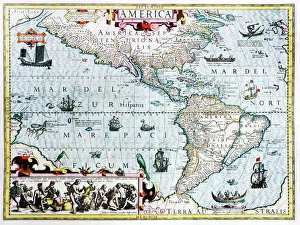
Background imageMaps Collection: 17th century map of the New World

17th century map of the New World
Western Hemisphere, 17th century Dutch map. This shows the New World that was being discovered by Europeans exploring the Western Hemisphere of the Earth

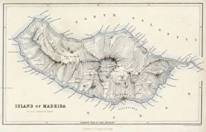
Background imageMaps Collection: Map / Europe / Madeira 19C

Map / Europe / Madeira 19C
Map of Madeira

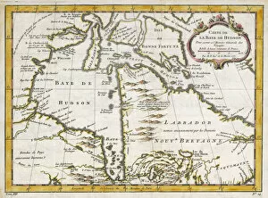
Background imageMaps Collection: Hudsons Bay Map

Hudsons Bay Map
HUDSONs BAY, at the time of the Seven Years War, showing French and English forts including Fort York, the principal settlement of the Hudsons Bay Company

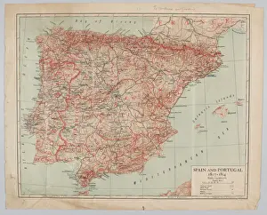
Background imageMaps Collection: Map - Spain and Portugal, 1807-1814

Map - Spain and Portugal, 1807-1814
Spain and Portugal, 1807-1814. From a collection of maps relevant to campaigns between 1794-1815. From the collection of the former Buffs Regimental Museum

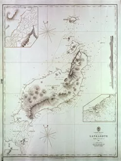
Background imageMaps Collection: Map of Lanzarote, Canary Islands

Map of Lanzarote, Canary Islands, with soundings in fathoms. Date: 1835

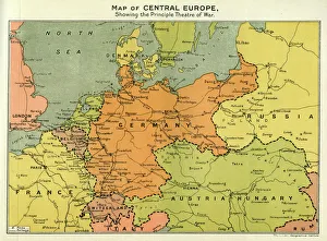
Background imageMaps Collection: Map of Central Europe, World War One

Map of Central Europe, World War One
Map of Central Europe in World War One, showing the Principal Theatre of War. Date: World War One

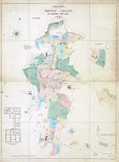
Background imageMaps Collection: Norton Estate as allotted for sale, 1849

Norton Estate as allotted for sale, 1849
Includes a floor plan of Norton Hall (see also y11091)Sheffield Local Studies Library:s (25) 6A L

Background imageMaps Collection: New Central Library and Art Gallery building, Surrey Street - elevations, c. 1930

New Central Library and Art Gallery building, Surrey Street - elevations, c. 1930
Scale: 1 inch : 8 feet. From an original at Sheffield Libraries: arc01118

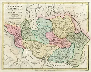
Background imageMaps Collection: Map of Persia (Iran)

Map of Persia (Iran) - all place names in their Latin form. The ancient realms of Assyria, Babylonia Date: 1807

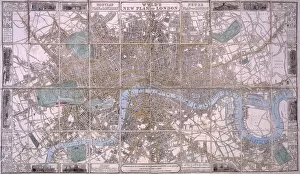
Background imageMaps Collection: Map of London

Map of London

Background imageMaps Collection: Map of Lisbon

Map of Lisbon
Map of the city of Lisbon, Portugal 1871 Date: 1871

Background imageMaps Collection: London railways map

London railways map
City & North East Suburban Electric Railway map, 1903 Date: 1903

Background imageMaps Collection: Station map

Station map
Z Macaulays station map of the railways in Great Britain, 1854 Date: 1854

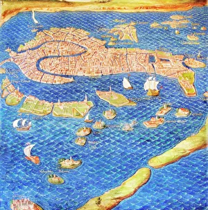
Background imageMaps Collection: 16th century map of Venice

16th century map of Venice showing the lagoon. Venice is a coastal city in the north-east of Italy. The main bulk of Venice is in the upper frame of the image

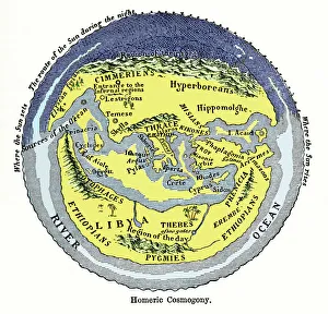
Background imageMaps Collection: Homeric cosmogony

Homeric cosmogony. Map of the Earth based on the myths and knowledge of the Ancient Greeks at the time of Homer (1st or 2nd millennium BC)

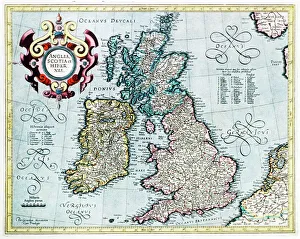
Background imageMaps Collection: 16th century map of the British Isles

16th century map of the British Isles
British Isles, 16th century Dutch map. This shows England, Scotland, Wales and Ireland, though Ireland is not yet accurately mapped. Published in 1595, from work by Gerard Mercator

Background imageMaps Collection: 16th century world map

16th century world map made by Pierre Desceliers in 1546 on a commission by King Francis I for Henri II of France. Most noticeable is that the Northern hemisphere is upside-down

Background imageMaps Collection: Italy Map Pre-Unity

Italy Map Pre-Unity
A map of Italy prior to unification

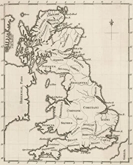
Background imageMaps Collection: Map of Pre-Roman Brits

Map of Pre-Roman Brits
A map showing the distribution of tribes in pre- Roman Britain

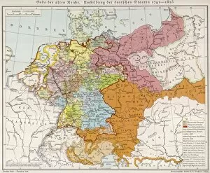
Background imageMaps Collection: Map / Europe / Germany 18C

Map / Europe / Germany 18C
Showing the end of the old German Empire and the reconstruction of the German States, 1791 - 1815

Background imageMaps Collection: World War Two recruitment poster

World War Two recruitment poster
Poster from the Second World War encouraging women to join the Royal Observer Corps

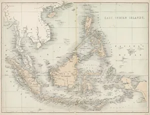
Background imageMaps Collection: Map / East India Islands

Map / East India Islands
Map of the East India Islands, including Borneo, the Celebes, Sumatra, Papua New Guinea, the Philippines

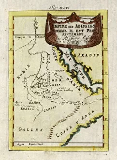
Background imageMaps Collection: Map / Africa / Ethiopia 18C

Map / Africa / Ethiopia 18C
Map of Ethiopia (Abyssinia)

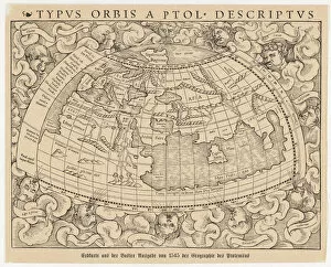
Background imageMaps Collection: World Known to Ptolemy

World Known to Ptolemy
1545 map from Basel, Switzerland, depicting the world as known to Ptolemy in the 2nd century

Background imageMaps Collection: Map / Europe / France C1000

Map / Europe / France C1000
France in feudal times, with the country allotted to various nobles who bore more or less allegiance to the king, whose acquisitions are shown in map lower left

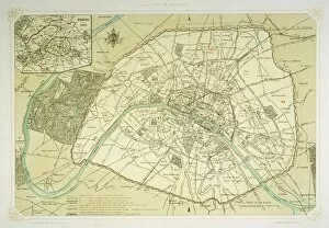
Background imageMaps Collection: Map / Europe / France / Paris

Map / Europe / France / Paris
Map showing the growth of Paris from its earliest origins to the latest projects under Napoleon III

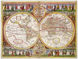
Background imageMaps Collection: Overton World Map / 1670

Overton World Map / 1670
A new and accurate map of the world drawn according to the best and late discoveries of 1670

Background imageMaps Collection: Map / Europe / Austria 1857

Map / Europe / Austria 1857
Map of the Austrian Empire

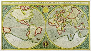
Background imageMaps Collection: Mercator / World Map / 1587

Mercator / World Map / 1587
A map of the world by Gerhard Mercator

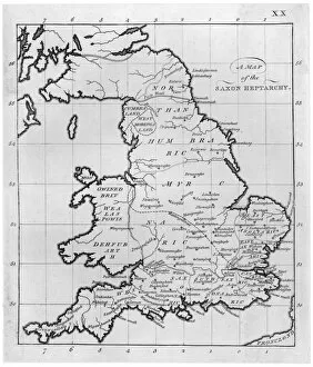
Background imageMaps Collection: Map / Britain / Saxon Period

Map / Britain / Saxon Period
Map of England and Wales showing kingdoms of Saxon heptarchy

Background imageMaps Collection: Maps / Australia 1850S

Maps / Australia 1850S
Map showing the location of the GOLDFIELDS, so presumably made fairly soon after the start of the Australian Gold Rush in 1851

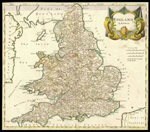
Background imageMaps Collection: Map / England & Wales 1810

Map / England & Wales 1810
England and Wales

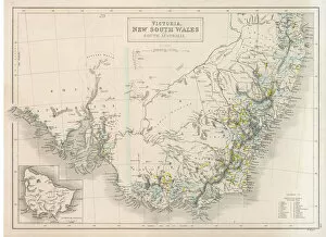
Background imageMaps Collection: Maps / Australia 1854

Maps / Australia 1854
Victoria, New South Wales, South Australia

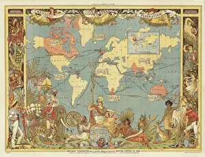
Background imageMaps Collection: Imperial Federation (colour litho)

Imperial Federation (colour litho)
726786 Imperial Federation (colour litho) by Crane, Walter (1845-1915) (after); Private Collection; (add.info.: Imperial Federation - map of the world showing the extent of the British Empire in)


All Professionally Made to Order for Quick Shipping

Maps have always been a fascinating window into the past, allowing us to explore and understand the world as it once was. From the intricate details of an ancient Greek map to the vibrant landscapes of Jamaica, each map tells its own unique story. Take a journey back in time with a Map of Ancient Greece, where you can trace the footsteps of philosophers and warriors alike. Discover the birthplace of democracy and marvel at the city-states that shaped Western civilization. Venture further across continents with Maps showcasing the vastness of empires like Britain's. Explore territories under British rule through a Map of the British Empire or delve into Asia's history with a Map highlighting the mighty Mongol Empire. Uncover remnants of one of history's greatest civilizations with a Map depicting the grandeur and reach of Rome. Witness how this powerful empire spanned across Europe, Africa, and Asia, leaving behind an indelible mark on human history. During times filled with turmoil and conflict, maps served as crucial tools for understanding war efforts. The Daily Mail War Map from World War I provides insights into battlefronts while WW2 posters display strategic plans like never before - including those detailing activities specific to divisions such as 52 (Lowland) Division or mapping out positions held by troops in The British Army. Closer to home lies Isle Of Wight - its beauty captured perfectly on a detailed map inviting exploration along its stunning coastline. Meanwhile, travel even further east to discover ancient Persian splendor through an intricately designed Persian Empire map. For those seeking nostalgia or tracing ancestral roots, immerse yourself in Cornwall C1857's historical charm via an antique map capturing its essence during that era. From ancient civilizations to modern-day conflicts and everything in between – they can not just pieces of paper but gateways into our collective pasts. They hold stories waiting to be unraveled by curious minds eager for knowledge about our ever-changing world throughout time.