Fraud Blocker Skip to main content

Maps Collection (page 2)

Maps have always been a fascinating window into the past, allowing us to explore and understand the world as it once was

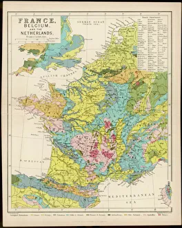
Background imageMaps Collection: Map / France / Belgium / Nethe

Map / France / Belgium / Nethe
Map of France, Belgium and the Netherlands

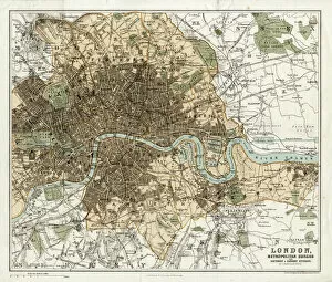
Background imageMaps Collection: MAP / LONDON 1878

MAP / LONDON 1878
Map of London and its suburbs

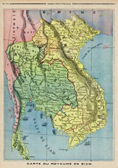
Background imageMaps Collection: Map Siam / Thailand 1893

Map Siam / Thailand 1893
Map showing the Kingdom of Siam, now Thailand

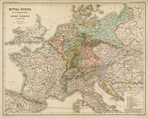
Background imageMaps Collection: Map / Europe / Germany 1871

Map / Europe / Germany 1871
Imperial Germany after the Franco- Prussian War, showing Alsace and Lorraine as part of the country, not to mention huge chunks of Poland in East Prussia

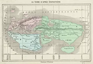
Background imageMaps Collection: Maps / World / Eratosthenes

Maps / World / Eratosthenes
The world as known to Eratosthenes

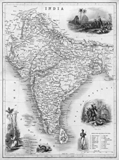
Background imageMaps Collection: Map / Asia / India C1850

Map / Asia / India C1850
India under British rule, about the time of the Mutiny

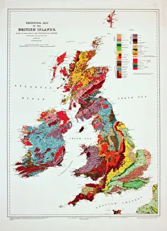
Background imageMaps Collection: Geological map of the British Islands

Geological map of the British Islands. 1941

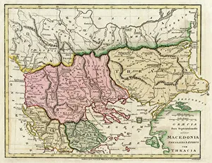
Background imageMaps Collection: Map of the Macedonian and Thracian Empire

Map of the Macedonian and Thracian Empire. Date: 1808

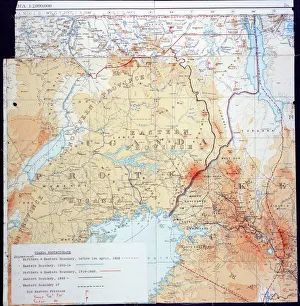
Background imageMaps Collection: Map of Kenya and Uganda

Map of Kenya and Uganda
Map of Kenya Uganda boundary, 1926 Date: 1926

Background imageMaps Collection: 16th Century Plan of Florence

16th Century Plan of Florence
16th century plan of Florence, Italy. Detail from the map of Etruria (Tuscany and Northern Lazio), in the Gallery of Maps in the Vatican Museum.The Gallery of Maps holds maps which were commissioned

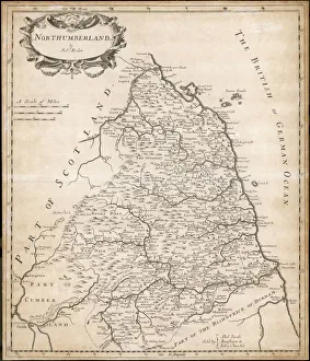
Background imageMaps Collection: Map of Northumberland

Map of Northumberland
Map of the English county of Northumberland by Robert Morden, originally produced for the 1695 edition of Camdens Britannia

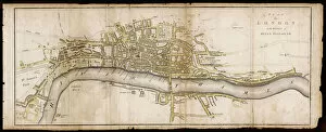
Background imageMaps Collection: Elizabethan London

Elizabethan London, stretching from St James Park in the west to Whitechapel and the Tower in the east. Theatres and other places of ill-repute are located on the south bank

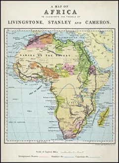
Background imageMaps Collection: Map of Africa illustrating travels of explorers

Map of Africa illustrating travels of explorers
A map of Africa which illustrates the travels of Livingstone, Stanley and Cameron. Date: 19th Century

Background imageMaps Collection: Map / Arctic Circle C1880

Map / Arctic Circle C1880
Map of the Arctic Circle with details of explorations

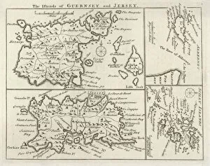
Background imageMaps Collection: Map / Channel Islands 18C

Map / Channel Islands 18C
Map of Jersey, Guernsey, Alderney, Sark and the Scilly Isles

Background imageMaps Collection: Map / Europe / Poland 1772

Map / Europe / Poland 1772
A German map of Poland and its neighbours in the late 18th century

Background imageMaps Collection: Map / Europe / Greece / Ford

Map / Europe / Greece / Ford
Map of ancient Greece

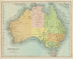
Background imageMaps Collection: Maps / Australia 1860S

Maps / Australia 1860S
Map probably made soon after 1861

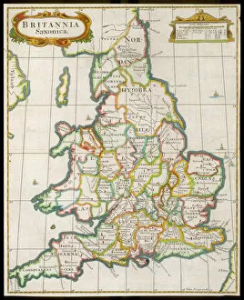
Background imageMaps Collection: Map / England & Wales 9C

Map / England & Wales 9C
England and Wales during the Saxon era

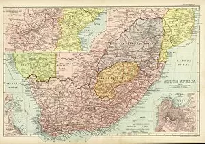
Background imageMaps Collection: Map /s Africa / Boer C1898

Map /s Africa / Boer C1898
SOUTH AFRICA on the eve of the Boer War

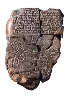
Background imageMaps Collection: The Babylonian Map of the World, c. 510-c. 500 BC. Artist: Assyrian Art

The Babylonian Map of the World, c. 510-c. 500 BC. Artist: Assyrian Art
The Babylonian Map of the World, c. 510-c. 500 BC. Found in the collection of British Museum

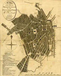
Background imageMaps Collection: A Plan of the town of Sheffield in the county of York drawn by W. Fairbank 1797

A Plan of the town of Sheffield in the county of York drawn by W. Fairbank 1797. Engraved by Thomas Harris
Original at Sheffield Local Studies Library:s 45 S

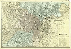
Background imageMaps Collection: Plan of Sheffield, Yorkshire, c. 1870 - 1905

Plan of Sheffield, Yorkshire, c. 1870 - 1905
Undated but shows the Midland Station as it was built in 1870, therefore between 1870 and 1905 when the station was enlarged. Original at Sheffield Local Studies Library: y11773

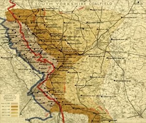
Background imageMaps Collection: South Yorkshire Coalfield, c. 1925

South Yorkshire Coalfield, c. 1925
Scale 2 inches : 1 mile.Size 40 x 33 cm.Original at Local Studies E49S

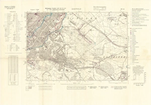
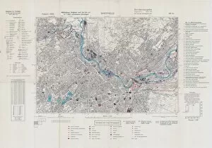
Background imageMaps Collection: North Sheffield marked with bombing targets, c. 1940

North Sheffield marked with bombing targets, c. 1940
Full title: Ordnance Survey map of north Sheffield copied by the Germans, and marked with bombing targets, c. 1940 Original at Sheffield Libraries: y06718

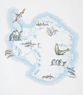
Background imageMaps Collection: Map of Antarctica overlaid with illustrations of Sea Gulls, Penguins, Elephant Seal

Map of Antarctica overlaid with illustrations of Sea Gulls, Penguins, Elephant Seal, Shrimp and buildings

Background imageMaps Collection: Railway map of Britain

Railway map of Britain
Philips railway map of the British Isles, c1923 Date: c. 1923

Background imageMaps Collection: Barbarossa-Era Italy Map

Barbarossa-Era Italy Map
A map of Italy in the reign of Holy Roman Emperor Friedrich I, known as Barbarossa

Background imageMaps Collection: Shanghai, international settlements 1932

Shanghai, international settlements 1932
Shanghai - the storm centre: an international settlement under the protection of fourteen powers, the chief scene of the Sino-Japanese conflict

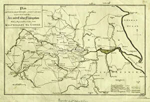
Background imageMaps Collection: Plan of Navigable Rivers and Canals connected with the Aire and Calder Navigation; with a Proposed

Plan of Navigable Rivers and Canals connected with the Aire and Calder Navigation; with a Proposed Canal
Scale 1.3 inches : 10 miles.Size 43 x 28 cm.Original at Local Studies A1S

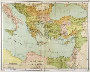
Background imageMaps Collection: Map / Roman Empire / Cup

Map / Roman Empire / Cup
Part of the Roman Empire, showing St Pauls journeys

Background imageMaps Collection: Map / Asia / Persia 19C

Map / Asia / Persia 19C
Map of Persia (Iran)

Background imageMaps Collection: Maps / Australia Post-1876

Maps / Australia Post-1876
Map of Australia with names of Counties

Background imageMaps Collection: Map / England & Wales 1857

Map / England & Wales 1857
Map of England and Wales showing railways and canals

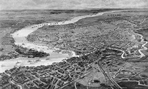
Background imageMaps Collection: Tomblesons Panoramic Map of the Thames and Medway (engraving)

Tomblesons Panoramic Map of the Thames and Medway (engraving)
587722 Tomblesons Panoramic Map of the Thames and Medway (engraving) by English School, (19th century); Private Collection; (add.info.: Tomblesons Panoramic Map of the Thames and Medway)

Background imageMaps Collection: MAPS / AZORES

MAPS / AZORES
maps of the individual islands of the Azores group Date: mid 19th century

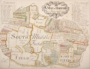
Background imageMaps Collection: Harthill, Yorkshire, surveyed in 1720

Harthill, Yorkshire, surveyed in 1720
From an original at Sheffield Libraries: arc03267

Background imageMaps Collection: Plan of property situate at Stannington for sale

Plan of property situate at Stannington for sale
Lot 1 house, buildings, yard, Toft head, The Toft, Toft Bottom, Middle Field and Nether Field or Nether Toft (shows Roman Catholic School). Lot 2 Towns Field, Occupation Road

Background imageMaps Collection: Sheffield, 1822

Sheffield, 1822
Full title: Plan of Sheffield; engraved for the history and directory of Yorkshire, published by Edward Baines, Leeds, 1822 Includes a view of the General Infirmary (bottom left). By Alfred Smith

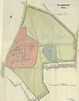
Background imageMaps Collection: Plan of Hillsborough Park, 1897

Plan of Hillsborough Park, 1897
Image from Sheffield City Council, General Purposes and Parks Committee - Plans and Description of Parks and Recreation Grounds (Local Studies Library 352.7 SQ)

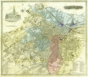
Background imageMaps Collection: Plan of Sheffield, 1838

Plan of Sheffield, 1838
Original at Sheffield Local Studies Library:

Background imageMaps Collection: Ordnance Survey map of north Sheffield copied by the Germans, and marked with bombing targets

Ordnance Survey map of north Sheffield copied by the Germans, and marked with bombing targets
Original at Sheffield Local Studiess 26 M/4

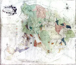
Background imageMaps Collection: Norton from the survey of W and J Fairbank, 1804

Norton from the survey of W and J Fairbank, 1804
Original at Sheffield Archives ref. NSC/127

Background imageMaps Collection: Map of Ireland showing the Provinces of Ulster, Munster, Connaught and Leinster, by Johann B

Map of Ireland showing the Provinces of Ulster, Munster, Connaught and Leinster, by Johann B
BAL42849 Map of Ireland showing the Provinces of Ulster, Munster, Connaught and Leinster, by Johann B. Homann, c.1730 (hand coloured engraving) by Homann, Johann Baptista (1663-1724); O Shea Gallery

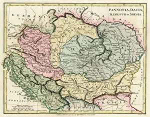
Background imageMaps Collection: Map of the Dacian Empire and Roman provinces

Map of the Dacian Empire and Roman provinces. Date: 1801

Background imageMaps Collection: Map of Venice

Map of Venice
Map of the city of Venice, Italy Date: 19th century

Background imageMaps Collection: 17th century map of Europe

17th century map of Europe

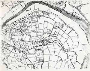
Background imageMaps Collection: Sketch map of Hook, Pembrokeshire, South Wales

Sketch map of Hook, Pembrokeshire, South Wales
A sketch map of the village of Hook, including the various mining shafts of the colliery, on the Western Cleddau near Haverfordwest, Pembrokeshire, South Wales


All Professionally Made to Order for Quick Shipping

Maps have always been a fascinating window into the past, allowing us to explore and understand the world as it once was. From the intricate details of an ancient Greek map to the vibrant landscapes of Jamaica, each map tells its own unique story. Take a journey back in time with a Map of Ancient Greece, where you can trace the footsteps of philosophers and warriors alike. Discover the birthplace of democracy and marvel at the city-states that shaped Western civilization. Venture further across continents with Maps showcasing the vastness of empires like Britain's. Explore territories under British rule through a Map of the British Empire or delve into Asia's history with a Map highlighting the mighty Mongol Empire. Uncover remnants of one of history's greatest civilizations with a Map depicting the grandeur and reach of Rome. Witness how this powerful empire spanned across Europe, Africa, and Asia, leaving behind an indelible mark on human history. During times filled with turmoil and conflict, maps served as crucial tools for understanding war efforts. The Daily Mail War Map from World War I provides insights into battlefronts while WW2 posters display strategic plans like never before - including those detailing activities specific to divisions such as 52 (Lowland) Division or mapping out positions held by troops in The British Army. Closer to home lies Isle Of Wight - its beauty captured perfectly on a detailed map inviting exploration along its stunning coastline. Meanwhile, travel even further east to discover ancient Persian splendor through an intricately designed Persian Empire map. For those seeking nostalgia or tracing ancestral roots, immerse yourself in Cornwall C1857's historical charm via an antique map capturing its essence during that era. From ancient civilizations to modern-day conflicts and everything in between – they can not just pieces of paper but gateways into our collective pasts. They hold stories waiting to be unraveled by curious minds eager for knowledge about our ever-changing world throughout time.