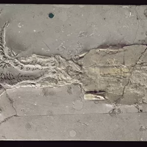
Home > Animals > Mammals > Spalacidae > Antiquus
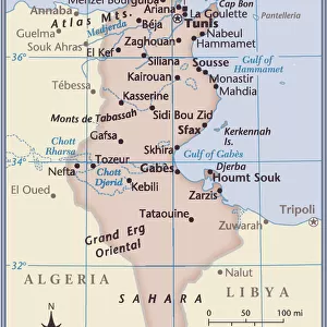
Map of the Roman provinces of Hispania, Mauretania and Africa (coloured engraving)
")
![]()
Wall Art and Photo Gifts from Fine Art Finder
Map of the Roman provinces of Hispania, Mauretania and Africa (coloured engraving)
7148256 Map of the Roman provinces of Hispania, Mauretania and Africa (coloured engraving) by Kiepert, Heinrich (1818-99); Private Collection; (add.info.: Map of the Roman provinces of Hispania, Mauretania and Africa. Illustration from Atlas Antiquus, Twelve Maps of the Ancient World for Schools and Colleges, by Dr Henry Kiepert (Dietrich Reimer, Berlin, c1889).); © Look and Learn
Media ID 25155162
© Look and Learn / Bridgeman Images
Antic Rome Atlas Cartage Carthage Carthagena Carthaginian Carthaginians Cartography City Map City Plan General Map Latium Maghreb Maghrebi Maghrebian Mediterranean Street Plan Tunisia Tunisian Afica Antiquit Arab Civilization Arabians Central Africa Mythological Character Mythological Figure Myths Pagan Paganism Pagans Polytheism Polytheist Sudan
FEATURES IN THESE COLLECTIONS
> Africa
> Sudan
> Related Images
> Africa
> Tunisia
> Related Images
> Animals
> Mammals
> Spalacidae
> Antiquus
> Arts
> Artists
> I
> Italian School Italian School
> Arts
> Artists
> S
> Spanish School
> Europe
> Italy
> Lazio
> Rome
> Fine Art Finder
> Artists
> Heinrich Kiepert
EDITORS COMMENTS
This print showcases a beautifully detailed map of the Roman provinces of Hispania, Mauretania, and Africa. Created by Heinrich Kiepert in the late 19th century, this coloured engraving is part of the renowned Atlas Antiquus collection. The map provides a fascinating glimpse into the ancient world, depicting various regions within these Roman territories. From Spain to North Africa, each province is meticulously outlined with intricate details that bring history to life. As we explore this historical artwork, we are transported back in time to an era filled with mythological figures and pagan beliefs. The influence of religion on these lands is evident as we encounter references to polytheism and mythical characters throughout the map. Carthage and its surrounding areas hold particular significance on this map. Known for its rich history and strategic location in modern-day Tunisia, Carthage was once a powerful city-state that played a crucial role in shaping Mediterranean civilizations. The vibrant colours used in this engraving further enhance our understanding of these ancient lands. Each shade represents different aspects such as geography or cultural influences from Arab civilization. Overall, this print offers not only a visual feast for art enthusiasts but also serves as an educational tool for those interested in exploring the complexities of ancient Rome's vast empire.
MADE IN THE UK
Safe Shipping with 30 Day Money Back Guarantee
FREE PERSONALISATION*
We are proud to offer a range of customisation features including Personalised Captions, Color Filters and Picture Zoom Tools
SECURE PAYMENTS
We happily accept a wide range of payment options so you can pay for the things you need in the way that is most convenient for you
* Options may vary by product and licensing agreement. Zoomed Pictures can be adjusted in the Basket.