
City Map Collection
"Unveiling the Tapestry of Time: A Journey through City Maps" Step back in time and explore the intricate details of ancient cities with these captivating city maps


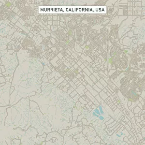

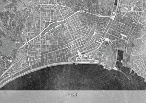


All Professionally Made to Order for Quick Shipping
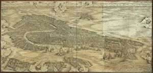
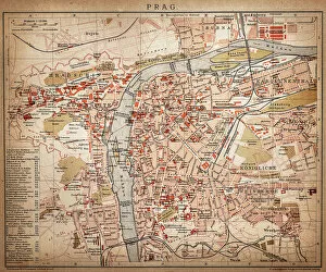
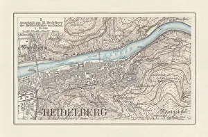
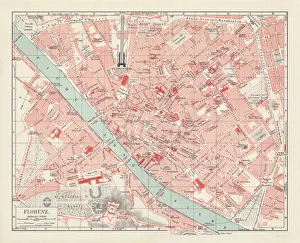
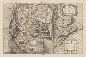
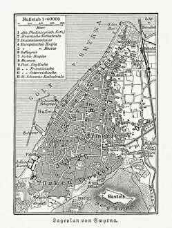
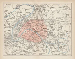
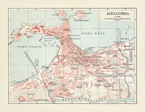
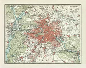
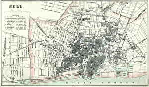
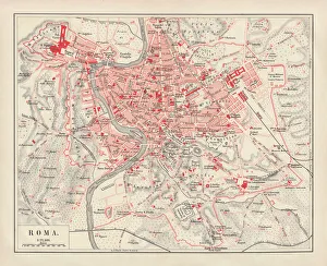
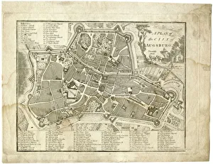
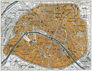
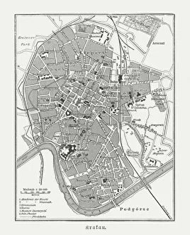
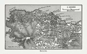
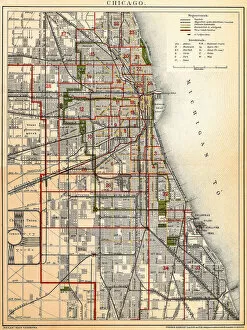
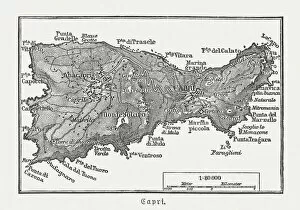
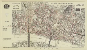
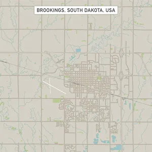
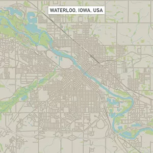
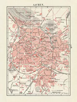
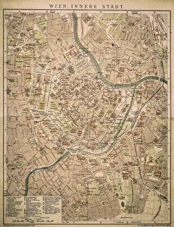
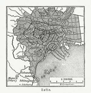
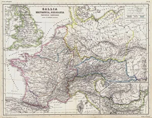
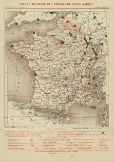
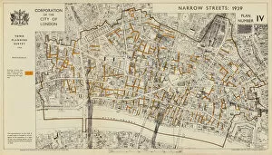
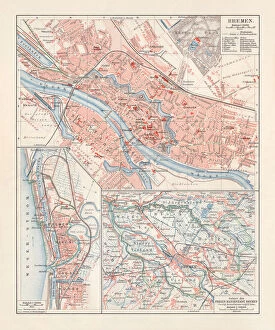
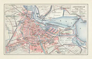
"Unveiling the Tapestry of Time: A Journey through City Maps" Step back in time and explore the intricate details of ancient cities with these captivating city maps. Jacopo de Barbari's 1500 map of Venice invites you to wander through its labyrinthine canals, capturing the essence of a bygone era. Travel to Heidelberg, Germany, as you gaze upon a historical lithograph from 1897, revealing the city's architectural wonders and rich heritage. Immerse yourself in Florence's artistic splendor with a lithograph published in 1897; every street corner whispers tales of Renaissance grandeur. Paris unfolds before your eyes on an enchanting city map that showcases its iconic landmarks and romantic allure. Delve into Smyrna (Izmir), Turkey's past with a woodcut from 1897, unraveling the layers of history within this vibrant Mediterranean port city. Embark on an expedition to ancient Jerusalem through a copperplate engraving dating back to 1774; witness its sacred sites etched into eternity. Discover Alexandria's mystique as you navigate its streets via an evocative lithograph from 1897; let Cleopatra's legacy guide your exploration. Rome beckons with timeless charm on a lithograph published in 1878; traverse its cobblestone alleys and marvel at majestic ruins standing tall. From Chicago’s bustling metropolis to Hull’s maritime heritage, modern cities leave their mark on our ever-evolving world—maps serving as guides for urban adventurers. Transport yourself centuries ago with Augsburg’s plan—a glimpse into life during the seventeenth century—an invitation to relish history firsthand. Even beneath London’s surface lies intrigue—the depths of sewers unveiled in vivid color lithography from1944—a testament to human ingenuity amidst war-torn times. These remarkable they are windows into different eras—each stroke of ink and lithograph revealing the stories woven into the fabric of our world.