Antique Framed Print > Fine Art Finder > Maps (celestial & Terrestrial)
Antique Framed Print : A new and correct map of the trading part of the West Indies, 1741 (hand coloured print)
![]()

Framed Photos from Fine Art Finder
A new and correct map of the trading part of the West Indies, 1741 (hand coloured print)
XOS1765715 A new and correct map of the trading part of the West Indies, 1741 (hand coloured print) by Overton, Henry (18th century); 54x68 cm; New York Public Library, USA; (add.info.: A new & correct map of the trading part of the West Indies : including the seat of war between Gr. Britain and Spain; likewise the British Empire in America, with the French and Spanish settlements adjacent thereto; adorn d with prospects of ye most considerable towns, ports, harbours &c. therein contained from the latest & best observations.
Printed for and sold by Henry Overton, at the White Horse without Newgate,
Includes insets of the views of: Havana -- Panama -- Porto Rico -- Cartagena -- Porto Bello -- Boston -- New York -- Mexico -- Vera Cruz -- Chagre.
Dedicated to the Honble. Edward Vernon Esqr. Vice Admiral of the Blue and Commander in chief of all his Majs. ships in the West Indies, by H.O. ); English, out of copyright
Media ID 12742615
© www.bridgemanimages.com
Atlantic Ocean Atlas Boston British Colony Caribbean Caribbean Sea Cartagena Central America Colonial America Columbia Cuba Gulf Of Mexico Havana Hydrography Islands Navigation New England Pacific Ocean Panama Portobello Ports Rhumb Lines Sea Chart Vera Cruz Veracruz Cartagena De Indias Edward Vernon Portobelo Spanish Colony War Of Jenkins Ear
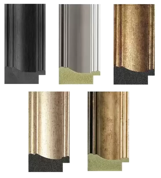
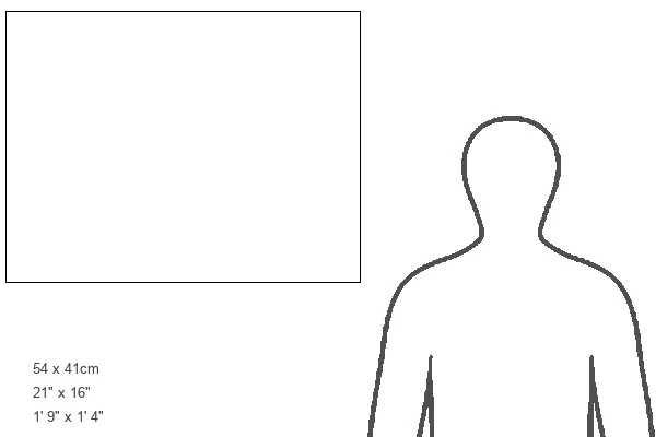
21"x16" (54x41cm) Antique Frame
Bevelled wood effect frame, card mounted, 15x10 archival quality photo print. Overall outside dimensions 21x16 inches (54x41cm). Environmentally and ozone friendly, Polycore® moulding has the look of real wood, is durable and light and easy to hang. Biodegradable and made with non-chlorinated gases (no toxic fumes) it is efficient; producing 100 tons of polystyrene can save 300 tons of trees! Prints are glazed with lightweight, shatterproof, optical clarity acrylic (providing the same general protection from the environment as glass). The back is stapled hardboard with a sawtooth hanger attached. Note: To minimise original artwork cropping, for optimum layout, and to ensure print is secure, the visible print may be marginally smaller
Bevelled Wood Effect Framed and Mounted Prints - Professionally Made and Ready to Hang
Estimated Image Size (if not cropped) is 37.1cm x 22.8cm (14.6" x 9")
Estimated Product Size is 54cm x 41.4cm (21.3" x 16.3")
These are individually made so all sizes are approximate
Artwork printed orientated as per the preview above, with landscape (horizontal) orientation to match the source image.
EDITORS COMMENTS
This hand-coloured print from 1741, titled "A new and correct map of the trading part of the West Indies" offers a fascinating glimpse into the geopolitical landscape of that time. Created by Henry Overton, an 18th-century cartographer, this map showcases various British, French, and Spanish settlements in America along with important towns, ports, and harbours. Measuring 54x68 cm and housed at the New York Public Library in the USA, this historical artifact provides valuable insights into trade routes and territories during a period marked by conflicts between Great Britain and Spain. The inclusion of insets featuring views of prominent cities such as Havana, Panama, Porto Rico (now Puerto Rico), Cartagena, Porto Bello (now Portobelo), Boston, New York City, Mexico City (then known as Mexico), Vera Cruz (Veracruz), and Chagre adds to its visual appeal. The dedication on this print is particularly noteworthy as it is dedicated to Edward Vernon Esqr. , Vice Admiral of the Blue and Commander-in-Chief of all his Majesty's ships in the West Indies. This suggests that it was created for military or strategic purposes. Overall, this meticulously detailed map serves not only as a navigational aid but also as a historical document capturing an era when European powers vied for control over lucrative trade routes in the West Indies. Its vibrant colors bring life to these distant lands while offering us a glimpse into their past glory.
MADE IN THE UK
Safe Shipping with 30 Day Money Back Guarantee
FREE PERSONALISATION*
We are proud to offer a range of customisation features including Personalised Captions, Color Filters and Picture Zoom Tools
SECURE PAYMENTS
We happily accept a wide range of payment options so you can pay for the things you need in the way that is most convenient for you
* Options may vary by product and licensing agreement. Zoomed Pictures can be adjusted in the Basket.


