Acrylic Blox > North America > Saint Kitts and Nevis > Maps
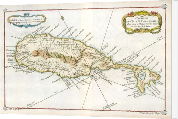
Acrylic Blox : Map of the Caribbean island of St Christopher, c1764
![]()

Mounted Prints from Heritage Images
Map of the Caribbean island of St Christopher, c1764
Heritage Images features heritage image collections
Media ID 14953528
© The Print Collector / Heritage-Images
Caribbean Cartography Colony Indies Island Lesser Antilles Map Making Print Collector21 St Christopher Topographical Topography West Indian West Indies British Empire Leeward Islands Saint Kitts And Nevis St Kitts And Nevis
6"x4" (15x10cm) Acrylic Blox
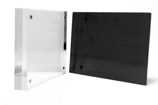
Your photographic print is held in place by magnets and a micro thin sheet of metal covering the back of a 20mm piece of clear acrylic. Your print is held in place with magnets so can easily be replaced if needed.
Streamlined, one sided modern and attractive table top print
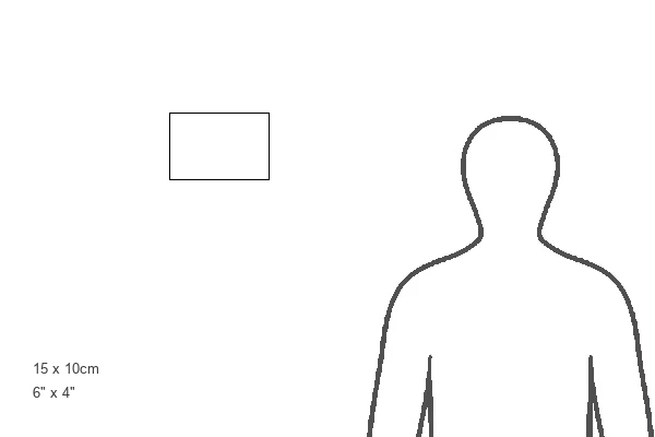
Estimated Product Size is 15.2cm x 10.2cm (6" x 4")
These are individually made so all sizes are approximate
Artwork printed orientated as per the preview above, with landscape (horizontal) orientation to match the source image.
FEATURES IN THESE COLLECTIONS
> Maps and Charts
> British Empire Maps
> Maps and Charts
> Related Images
> North America
> Saint Kitts and Nevis
> Maps
EDITORS COMMENTS
This print showcases a beautifully detailed map of the Caribbean island of St Christopher, dating back to 1764. Created during the 18th century, this map provides an intriguing glimpse into the colonial era and highlights the influence of Britain and France in the region. The vibrant colors used in this engraving bring to life the topography and geographical features of St Christopher. The island's location in the West Indies is clearly depicted, surrounded by crystal-clear waters of the Caribbean Sea. As one explores this map, it becomes evident that St Christopher was part of a larger group known as the Leeward Islands within the Lesser Antilles. Map making during this time period was not only a scientific endeavor but also served political purposes for European powers vying for control over valuable territories. The British Empire's presence on St Christopher is evident through their meticulous cartography, while traces of French influence can be seen as well. As we admire this historical artifact, we are reminded of how maps have always been essential tools for understanding our world. This particular print offers us a window into both past geography and centuries-old cartographic techniques. It serves as a testament to human curiosity and exploration while honoring an important chapter in Caribbean history - one where nations competed for dominance amidst breathtaking natural beauty.
MADE IN THE UK
Safe Shipping with 30 Day Money Back Guarantee
FREE PERSONALISATION*
We are proud to offer a range of customisation features including Personalised Captions, Color Filters and Picture Zoom Tools
SECURE PAYMENTS
We happily accept a wide range of payment options so you can pay for the things you need in the way that is most convenient for you
* Options may vary by product and licensing agreement. Zoomed Pictures can be adjusted in the Basket.

