
Map Making Collection
"Unveiling the Art of Map Making: A Journey Through Time and Space" Step into a world where cartography becomes an art form


All Professionally Made to Order for Quick Shipping
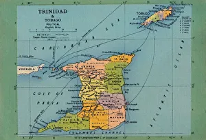
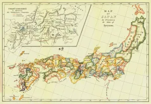
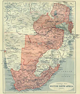
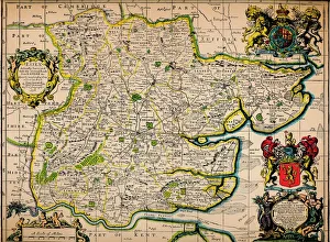
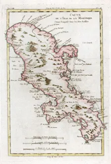
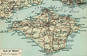
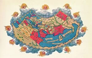
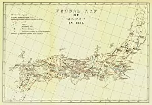
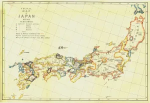
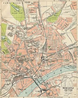
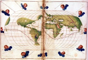
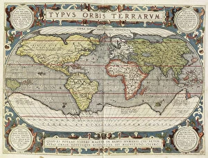
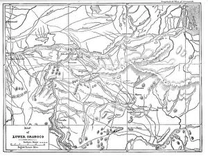
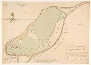
"Unveiling the Art of Map Making: A Journey Through Time and Space" Step into a world where cartography becomes an art form, as we explore the captivating realm of map making. From ancient marvels to modern masterpieces, these maps offer glimpses into different eras and regions, showcasing the evolution of this timeless craft. Travel back in time to the 13th century with "The Hereford Mappa Mundi, " a stunning medieval creation by Richard de Bello. This intricate masterpiece not only depicts geographical features but also incorporates religious symbolism, providing a unique insight into the beliefs and knowledge of that era. Fast forward to British South Africa in 1900, where an unknown creator crafted the "General Map of British South Africa. " With meticulous detail, it showcases vast landscapes and settlements during this pivotal period in history. Venture eastward to Japan through two enigmatic maps from 1903. The first reveals Japan's provinces during Iyeyasu's reign while the second portrays feudal Japan before Sekigahara. Though their creators remain anonymous, these maps offer valuable insights into Japanese history and territorial divisions. Closer to home lies John Bartholomew's artistic rendition of Isle of Wight from the early 20th century. His skillful brushstrokes bring life to this picturesque island off England's southern coast, capturing its beauty for generations to come. Delve further into historical cartography with John Ogilby and William Morgan's collaborative effort on "Map of Essex" from 1678. Their detailed work provides a glimpse into English county boundaries during that time period. Crossing oceans brings us to Martinique in the late 18th century with a map dating back to around 1783. This Caribbean gem is meticulously depicted on paper—a testament to both exploration and colonial influence during that era.