Jigsaw Puzzle > Universal Images Group (UIG) > Universal Images Group > Satellite and Aerial > Planet Observer 6
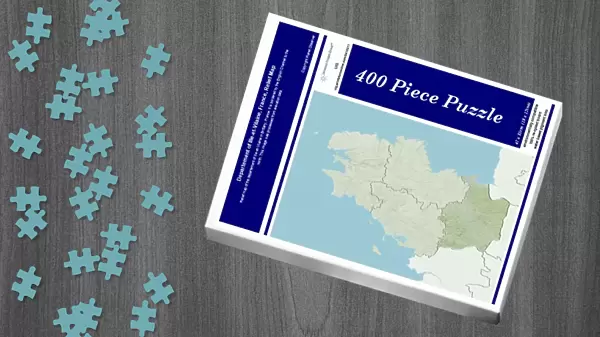
Jigsaw Puzzle : Departement of Ille-et-Vilaine, France, Relief Map


![]()
Jigsaw Puzzles from Universal Images Group (UIG)
Departement of Ille-et-Vilaine, France, Relief Map
Relief map of the departement of Ille-et-Vilaine in Brittany, France. It is bordered by the English Channel to the north. This image was processed from elevation data
Universal Images Group (UIG) manages distribution for many leading specialist agencies worldwide
Media ID 9618311
© Planet Observer
Alsace Bas Rhin Geographical Border Relief Map Satellite View
Jigsaw Puzzle (400 Pieces)
Discover the beauty of Brittany, France with our intricately detailed Jigsaw Puzzle from Media Storehouse. Featuring the Departement of Ille-et-Vilaine, this puzzle showcases a stunning relief map taken from Universal Images Group. With elevation data processed to bring out the contours and terrain of the region, this puzzle offers an engaging and educational experience. Challenge yourself or a loved one to piece together this captivating representation of the Ille-et-Vilaine department, located in the north of France and bordered by the English Channel. Immerse yourself in the rich history and natural wonders of this unique region, one puzzle piece at a time.
400 piece puzzles are custom made in the UK and hand-finished on 100% recycled 1.5 mm millboard. There is a level of repetition in jigsaw shapes with each matching piece away from its pair. The completed puzzle measures 31x47cm and is delivered packaged in an attractive presentation box specially designed to fit most letter box slots
Jigsaw Puzzles are an ideal gift for any occasion
Estimated Product Size is 47.2cm x 31.5cm (18.6" x 12.4")
These are individually made so all sizes are approximate
Artwork printed orientated as per the preview above, with landscape (horizontal) or portrait (vertical) orientation to match the source image.
EDITORS COMMENTS
This stunning print showcases the relief map of the Departement of Ille-et-Vilaine in Brittany, France. With its intricate details and vibrant colors, it offers a captivating view of this beautiful region. Bordered by the English Channel to the north, Ille-et-Vilaine boasts a diverse landscape that ranges from coastal cliffs to rolling hills. The image was carefully processed from elevation data, resulting in a topographical representation that highlights the geographical features of this area. It provides an excellent tool for studying physical geography and understanding the natural formations that shape our planet. Captured from a satellite view, this vertical photograph captures every contour and curve with precision. The absence of people allows us to fully appreciate the raw beauty and untouched nature of this region. As we explore this relief map, we are transported into an outdoor adventure where we can imagine ourselves hiking through lush forests or strolling along picturesque coastlines. The geographical borders are clearly defined, giving us a sense of orientation within Ille-et-Vilaine's boundaries. Whether you're an avid cartographer or simply fascinated by Europe's landscapes, this print is sure to captivate your imagination. Its color image brings life to every detail and invites you on a visual journey through one of France's most enchanting regions - Ille-et-Vilaine in Brittany.
MADE IN THE UK
Safe Shipping with 30 Day Money Back Guarantee
FREE PERSONALISATION*
We are proud to offer a range of customisation features including Personalised Captions, Color Filters and Picture Zoom Tools
SECURE PAYMENTS
We happily accept a wide range of payment options so you can pay for the things you need in the way that is most convenient for you
* Options may vary by product and licensing agreement. Zoomed Pictures can be adjusted in the Basket.