
Satellite View Collection
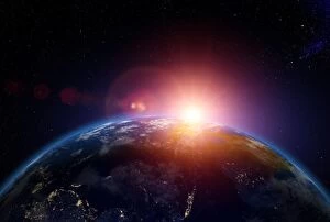
"Exploring the Beauty of Earth: A Captivating Satellite View" Witnessing the breathtaking sunrise over Australia from space


All Professionally Made to Order for Quick Shipping
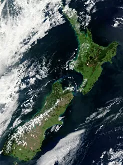
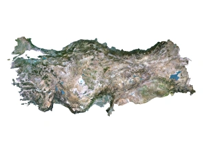
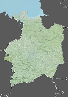
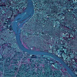
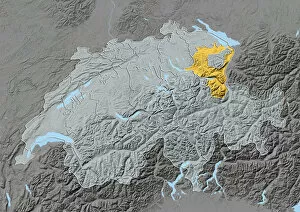
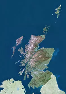
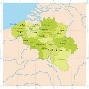
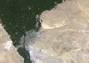
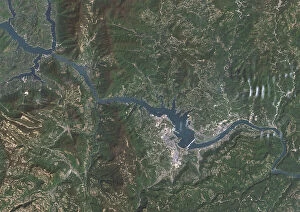
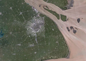
"Exploring the Beauty of Earth: A Captivating Satellite View" Witnessing the breathtaking sunrise over Australia from space, one can't help but marvel at the wonders of our planet. With a black background serving as a canvas for this celestial spectacle, the satellite view offers an awe-inspiring glimpse into astronomy's grandeur. In this captivating image, devoid of any human presence, we are presented with a cut-out copy space that allows us to focus solely on Planet Earth. From New Zealand to Louisville, Kentucky and even Departement of Ille-et-Vilaine in France - each location is beautifully captured by satellites orbiting high above. The satellite view takes us on an extraordinary journey across continents and countries. We get a bird's eye perspective of Niger's vast landscapes through its detailed satellite image while Washington D. C. 's iconic landmarks come alive in stunning clarity. Scotland with Shetland Islands appears like a true masterpiece in this United Kingdom satellite image where vibrant colors showcase nature's splendor. Turkey too reveals its diverse terrain through another striking satellite image that highlights its unique features. Belgium unveils itself through an intricate vector map created using satellite data, providing valuable insights into urban planning and navigation systems. Meanwhile, Arctic regions captivate us with their ethereal beauty - combining elements of astronomy and exploration against a colorful city backdrop. Lastly, North America mesmerizes viewers with its day-and-night composite captured by satellites circling our planet. This single frame encapsulates both natural beauty and human activity harmoniously coexisting on Earth. Through these remarkable glimpses offered by satellite views, we gain appreciation for our world's diversity and interconnectedness. It reminds us that despite our differences or geographical distances, we all share this magnificent home called Planet Earth – urging us to protect it for generations to come.