Fraud Blocker Skip to main content

Relief Map Collection

"Exploring the World's Diverse Landscapes: A Journey through Relief Maps" Embark on a captivating journey as we delve into the fascinating world of relief maps

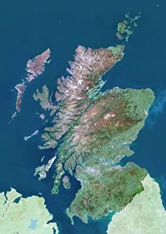
Background imageRelief Map Collection: Scotland, UK, satellite image

Scotland, UK, satellite image
Scotland, UK. North is at top. Natural colour satellite image showing Scotland in the United Kingdom, with the surrounding territories shaded out

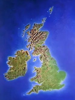
Background imageRelief Map Collection: Relief map of the United Kingdom and Eire

Relief map of the United Kingdom and Eire, lit from the east

Background imageRelief Map Collection: Romania

Romania
Antique map of Romania

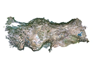
Background imageRelief Map Collection: Turkey, Satellite Image

Turkey, Satellite Image
Satellite view of Turkey. This image was compiled from data acquired by LANDSAT satellite

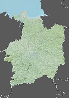
Background imageRelief Map Collection: Departement of Ille-et-Vilaine, France, Relief Map

Departement of Ille-et-Vilaine, France, Relief Map
Relief map of the departement of Ille-et-Vilaine, France. It is bordered by the English Channel to the north. This image was compiled from data acquired by LANDSAT 5 & 7 satellites combined with

Background imageRelief Map Collection: Vietnam, Relief Map with Border and Mask

Vietnam, Relief Map with Border and Mask
Relief map of Vietnam (with border and mask). This image was compiled from data acquired by landsat 5 & 7 satellites combined with elevation data

Background imageRelief Map Collection: State of Massachusetts, United States, Relief Map

State of Massachusetts, United States, Relief Map
Relief map of the State of Massachusetts, United States. This image was compiled from data acquired by LANDSAT 5 & 7 satellites combined with elevation data

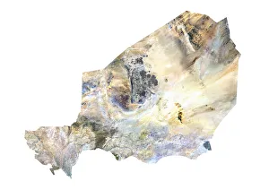
Background imageRelief Map Collection: Niger, Satellite Image

Niger, Satellite Image
Satellite view of Niger. This image was compiled from data acquired by LANDSAT satellite

Background imageRelief Map Collection: Province of Hunan, China, Relief Map

Province of Hunan, China, Relief Map
Relief map of the province of Hunan, China. This image was compiled from data acquired by LANDSAT 5 & 7 satellites combined with elevation data

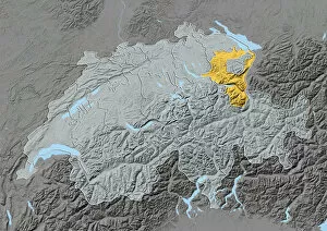
Background imageRelief Map Collection: Canton of Appenzell Ausserrhoden, Switzerland, Relief Map

Canton of Appenzell Ausserrhoden, Switzerland, Relief Map
Relief map of the canton of Appenzell Ausserrhoden, Switzerland. This image was compiled from data acquired by LANDSAT 5 & 7 satellites combined with elevation data
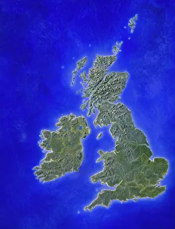
Background imageRelief Map Collection: Illustration of a relief map of the British Isles

Illustration of a relief map of the British Isles

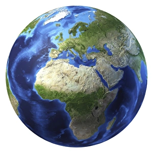
Background imageRelief Map Collection: 3D rendering of planet Earth, centered on Africa and Europe

3D rendering of planet Earth, centered on Africa and Europe
3D rendering of planet Earth with clouds, centered on Africa and Europe

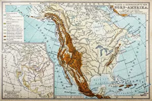
Background imageRelief Map Collection: River and mountains map of North America

River and mountains map of North America
Illustration of a River and mountains map of North America

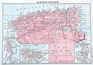
Background imageRelief Map Collection: Antique map of Algeria and Tunisia

Antique map of Algeria and Tunisia

Background imageRelief Map Collection: Relief Map of Gorizia and the Carso Plateau, 1917. Creator: Unknown

Relief Map of Gorizia and the Carso Plateau, 1917. Creator: Unknown
Relief Map of Gorizia and the Carso Plateau, 1917. General Cadornas forces took the fighting north of Gorizia on the volcanic Carso plateau which had been fortified by the Austrians

Background imageRelief Map Collection: Engraving: Mountains and River Systems of Europe

Engraving: Mountains and River Systems of Europe
Engraved illustrations of the Mountains and River Systems of Central Europe from Iconographic Encyclopedia of Science, Literature and Art, Published in 1851. Copyright has expired on this artwork

Background imageRelief Map Collection: Antique German atlas map close up: Australia

Antique German atlas map close up: Australia

Background imageRelief Map Collection: Yellowstone National Park

Yellowstone National Park
Detailed map of Yellowstone National Park

Background imageRelief Map Collection: compass rose, equator, indian ocean, international dateline, map, melanesia

compass rose, equator, indian ocean, international dateline, map, melanesia, micronesia, new zealand, no people, oceania, pacific ocean, polynesia, relief map, topography, tropic of capricorn

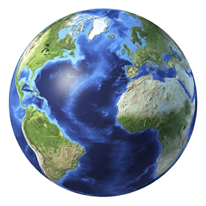
Background imageRelief Map Collection: 3D rendering of planet Earth centered on Atlantic Ocean

3D rendering of planet Earth centered on Atlantic Ocean
3D rendering of planet Earth with clouds, centered on the Atlantic Ocean, with North America, South America, Africa and Europe partially visible

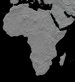
Background imageRelief Map Collection: Stereoscopic view of North America

Stereoscopic view of North America
February 2000 - This stereoscopic shaded relief image shows Africas topography as measured by the Shuttle Radar Topography Mission (SRTM) in February 2000

Background imageRelief Map Collection: 3D rendering of planet Earth with clouds, Oceania view

3D rendering of planet Earth with clouds, Oceania view

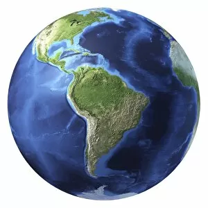
Background imageRelief Map Collection: 3D rendering of planet Earth, centered on South America

3D rendering of planet Earth, centered on South America
3D rendering of planet Earth with clouds, centered on South America

Background imageRelief Map Collection: Palestine Israel subjects 1953 Relief map Jerusalem

Palestine Israel subjects 1953 Relief map Jerusalem
Palestine & Israel subjects of 1953. Relief map of Jerusalem with barbed wire demarcation line as in 1953. 1953, Jerusalem

Background imageRelief Map Collection: Copy relief map Jerusalem environs Aerial photo-mosaic

Copy relief map Jerusalem environs Aerial photo-mosaic
Copy of relief map Jerusalem and environs. Aerial photo-mosaic of several aerial photographs of Jerusalem. 1923, Israel

Background imageRelief Map Collection: Relief map Jerusalem relief model Ernest Forrest

Relief map Jerusalem relief model Ernest Forrest
Relief map of Jerusalem. a relief model of Jerusalem made by Ernest Forrest Beaumont. 1920, Israel

Background imageRelief Map Collection: Relief map Relief model Jerusalem Ernest Forrest

Relief map Relief model Jerusalem Ernest Forrest
Relief map. Relief model of Jerusalem made by Ernest Forrest Beaumont. 1930, Israel

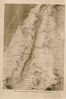
Background imageRelief Map Collection: Relief map Palestine 1934

Relief map Palestine 1934
Relief map of Palestine. 1934

Background imageRelief Map Collection: Copy relief map original topography Jerusalem

Copy relief map original topography Jerusalem
Copy of relief map showing original topography of Jerusalem with removed section from Ophel showing course of Siloam tunnel Relief model of Jerusalem made by Ernest Forrest Beaumont. 1934, Israel

Background imageRelief Map Collection: Earth Globe Showing North and South American Continents With Country Borders

Earth Globe Showing North and South American Continents With Country Borders
This satellite view shows the earth globe on white background with focus on North and South America, with country borders and ocean relief

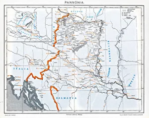
Background imageRelief Map Collection: Pannonia

Pannonia is an ancient country of southern Europe that was south and west of the Danube River, in present-day Austria, Hungary, Slovenia, and Croatia

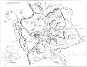
Background imageRelief Map Collection: Map of Ancient Rome

Map of Ancient Rome
Vintage engraving showing a plan of Ancient Rome

Background imageRelief Map Collection: Ethnic map of Africa

Ethnic map of Africa
Antique illustration of a ethnic map of Africa

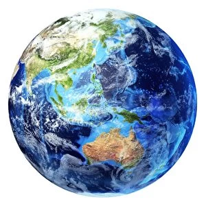
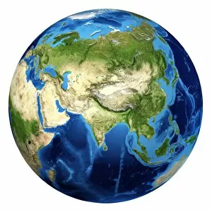
Background imageRelief Map Collection: 3D rendering of planet Earth with clouds, centered on Asia

3D rendering of planet Earth with clouds, centered on Asia

Background imageRelief Map Collection: 3D rendering of planet Earth, centered on North America and South America

3D rendering of planet Earth, centered on North America and South America

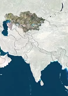
Background imageRelief Map Collection: Kazakhstan, Satellite Image

Kazakhstan, Satellite Image
Satellite view of Kazakhstan in Central Asia with country borders. This image was compiled from data acquired by LANDSAT satellite

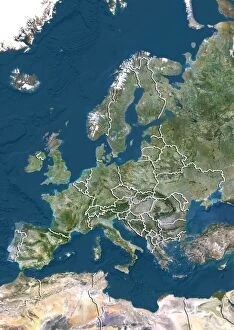
Background imageRelief Map Collection: Europe, True Colour Satellite Image With Country Borders

Europe, True Colour Satellite Image With Country Borders
Satellite view of Europe with country borders. This image was compiled from data acquired by LANDSAT satellite

Background imageRelief Map Collection: Jervis Bay Territory, Australia, Relief Map

Jervis Bay Territory, Australia, Relief Map
Relief map of Jervis Bay Territory, Australia. This image was compiled from data acquired by LANDSAT 5 & 7 satellites combined with elevation data

Background imageRelief Map Collection: South Korea, Relief Map with Border and Mask

South Korea, Relief Map with Border and Mask
Relief map of South Korea (with border and mask). This image was compiled from data acquired by landsat 5 & 7 satellites combined with elevation data

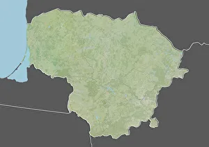
Background imageRelief Map Collection: Lithuania, Relief Map With Border and Mask

Lithuania, Relief Map With Border and Mask
Relief map of Lithuania (with border and mask). This image was compiled from data acquired by landsat 5 & 7 satellites combined with elevation data

Background imageRelief Map Collection: Scotland, United Kingdom, Relief Map

Scotland, United Kingdom, Relief Map
Relief map of Scotland, United Kingdom. This image was compiled from data acquired by LANDSAT 5 & 7 satellites combined with elevation data

Background imageRelief Map Collection: Albania, Relief Map With Border and Mask

Albania, Relief Map With Border and Mask
Relief map of Albania (with border and mask). This image was compiled from data acquired by landsat 5 & 7 satellites combined with elevation data

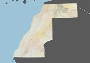
Background imageRelief Map Collection: Western Sahara, Relief Map with Border and Mask

Western Sahara, Relief Map with Border and Mask
Relief map of Western Sahara (with border and mask). This image was compiled from data acquired by landsat 5 & 7 satellites combined with elevation data

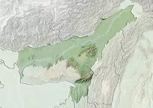
Background imageRelief Map Collection: State of Assam, India, Relief Map

State of Assam, India, Relief Map
Relief map of the State of Assam, India. This image was compiled from data acquired by LANDSAT 5 & 7 satellites combined with elevation data

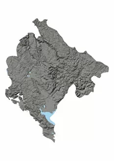
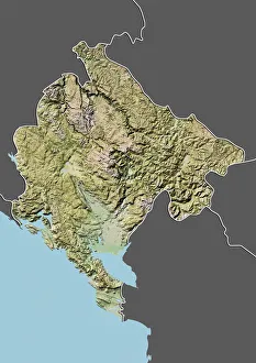
Background imageRelief Map Collection: Montenegro, Relief Map

Montenegro, Relief Map
Relief map of Montenegro. This map was processed from elevation data

Background imageRelief Map Collection: Montenegro, Relief Map With Border and Mask

Montenegro, Relief Map With Border and Mask
Relief map of Montenegro (with border and mask). This image was compiled from data acquired by landsat 5 & 7 satellites combined with elevation data

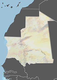
Background imageRelief Map Collection: Mauritania, Relief Map With Border and Mask

Mauritania, Relief Map With Border and Mask
Relief map of Mauritania (with border and mask). This image was compiled from data acquired by landsat 5 & 7 satellites combined with elevation data

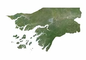
Background imageRelief Map Collection: Guinea-Bissau, Satellite Image

Guinea-Bissau, Satellite Image
Satellite view of Guinea-Bissau. This image was compiled from data acquired by LANDSAT satellite


All Professionally Made to Order for Quick Shipping

"Exploring the World's Diverse Landscapes: A Journey through Relief Maps" Embark on a captivating journey as we delve into the fascinating world of relief maps, showcasing stunning landscapes from various corners of the globe. From Scotland's rugged terrain to Romania's enchanting beauty, these satellite images provide us with a unique perspective. Discover the intricacies of the United Kingdom and Eire through an intricate relief map that highlights its diverse topography. Meanwhile, in France's Departement of Ille-et-Vilaine, witness how this relief map unravels the region's breathtaking features. Take a step further and explore an illustration depicting the British Isles' remarkable relief map. Marvel at its mountains, valleys, and rivers that shape this picturesque landscape. Venture southward to Niger and Turkey where satellite images offer a glimpse into their distinctive terrains. Navigate through geographical elements such as compass rose, equator, Indian Ocean, and international dateline while exploring maps that showcase Melanesia’s charm. Witness how these elements intertwine with each other like puzzle pieces on our planet Earth rendered in 3D form centered around Africa and Europe. Travel across North America with a river and mountains map that unveils nature’s grandeur in this vast continent. Immerse yourself in history by examining antique maps featuring Algeria & Tunisia or Italy – capturing moments frozen in time. Through these mesmerizing relief maps spanning continents afar or lands close to home; one can truly appreciate Earth’s boundless beauty etched upon its surface for all to behold.