Jigsaw Puzzle > Arts > Artists > O > Oceanic Oceanic
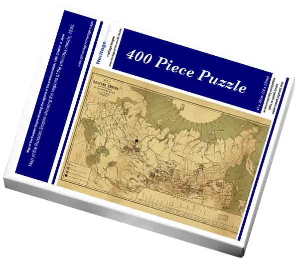
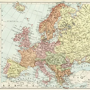
Jigsaw Puzzle : Map of the Russian Empire showing the regions of the precious metals, 1890. Creator: A. Jlyne
![]()

Jigsaw Puzzles from Heritage Images
Map of the Russian Empire showing the regions of the precious metals, 1890. Creator: A. Jlyne
Map of the Russian Empire showing the regions of the precious metals, 1890
Heritage Images features heritage image collections
Media ID 35128409
© Heritage Art/Heritage Images
Arctic Ocean Cartographic Cartography Map Making Mapmaking Metal Industry Mining Ocean Precious Metal Region Russian Empire Meeting Of Frontiers Regions
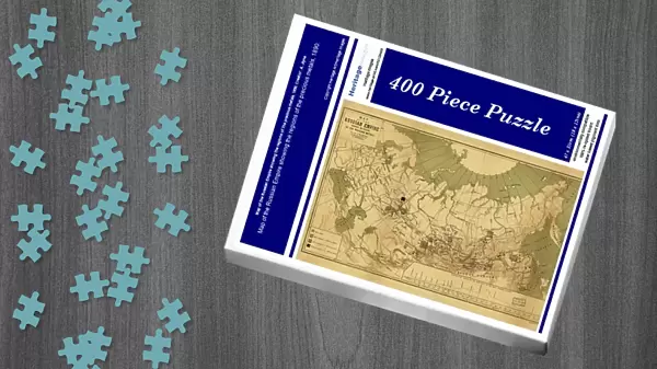
Jigsaw Puzzle (400 Pieces)
Discover the rich history and geography of the Russian Empire with our exquisite jigsaw puzzle from Media Storehouse. This intricately detailed puzzle, featuring a vintage map of the Russian Empire from 1890 by A. Jlyne, highlights the regions where precious metals were once discovered and mined. Ideal for history buffs, puzzle enthusiasts, or anyone looking for a challenging and educational pastime, this puzzle promises a captivating experience as you piece together the past. Bring a piece of history into your home and enjoy the satisfaction of completing this beautiful and informative puzzle.
400 piece puzzles are custom made in the UK and hand-finished on 100% recycled 1.5 mm millboard. There is a level of repetition in jigsaw shapes with each matching piece away from its pair. The completed puzzle measures 31x47cm and is delivered packaged in an attractive presentation box specially designed to fit most letter box slots
Jigsaw Puzzles are an ideal gift for any occasion
Estimated Product Size is 47.2cm x 31.5cm (18.6" x 12.4")
These are individually made so all sizes are approximate
Artwork printed orientated as per the preview above, with landscape (horizontal) or portrait (vertical) orientation to match the source image.
FEATURES IN THESE COLLECTIONS
> Arts
> Artists
> O
> Oceanic Oceanic
> Europe
> Russia
> Related Images
> Maps and Charts
> Early Maps
> Maps and Charts
> Related Images
EDITORS COMMENTS
This map print, titled "Map of the Russian Empire showing the regions of the precious metals," created by A. Jlyne in 1890, offers a fascinating glimpse into the geographical distribution of precious metals within the vast expanse of the Russian Empire during the 19th century. The map is a testament to the rich industrial heritage of Russia and its significant role in the global precious metal industry. The map's intricate design showcases the Russian Empire's diverse regions, with the Arctic Ocean forming its northern border. The cartographic representation of the country's vast territories is marked by meticulous lettering and color-coding, indicating the locations of gold, silver, copper, and other precious metal deposits. The meeting of frontiers between different regions is highlighted, emphasizing the importance of these resources to the empire's economic growth and industrial development. The map's historical significance lies in its accurate representation of the geographical features and industrial centers of the Russian Empire during the 1890s. The mapmaking process required extensive research and expertise, making it a valuable addition to any collection of historic cartography. Today, this map serves as an essential reference for scholars, historians, and enthusiasts of geography, industrial history, and the Russian Empire. The Library of Congress, a renowned repository of knowledge and cultural heritage, houses this precious piece of cartographic history. The map's intricate details and historical significance make it a captivating addition to any collection, offering a unique perspective on the geography, industry, and heritage of the Russian Empire during the 19th century.
MADE IN THE UK
Safe Shipping with 30 Day Money Back Guarantee
FREE PERSONALISATION*
We are proud to offer a range of customisation features including Personalised Captions, Color Filters and Picture Zoom Tools
SECURE PAYMENTS
We happily accept a wide range of payment options so you can pay for the things you need in the way that is most convenient for you
* Options may vary by product and licensing agreement. Zoomed Pictures can be adjusted in the Basket.

