
Mapmaking Collection
"Unveiling the Art of Mapmaking: Tracing History's Footprints" Embark on a journey through time and space as we explore the captivating world of mapmaking


All Professionally Made to Order for Quick Shipping
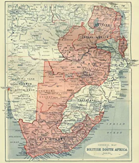
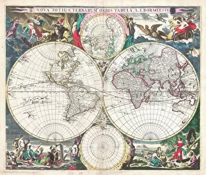
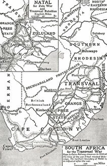
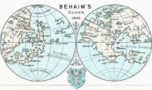
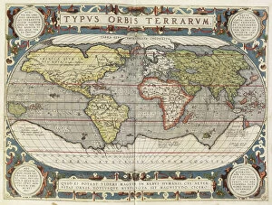
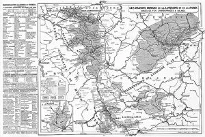
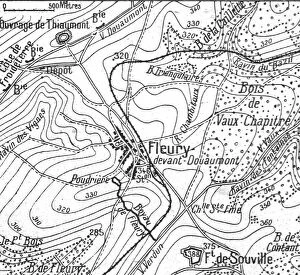
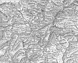
"Unveiling the Art of Mapmaking: Tracing History's Footprints" Embark on a journey through time and space as we explore the captivating world of mapmaking. From the General Map of British South Africa in 1900 to the Antique Double-Hemisphere World Map from 1686, these intricate creations offer glimpses into our past. Step back in time with William Mayo's Cartouche on W. Mayos Map of Barbados, dating back to 1722. This masterpiece transports us to an era where cartography was both art and science, capturing the essence of a place within its ornate design. Travel further across Europe with Rigobert Bonne's Map Of Germany, Bohemia And Hungary from his renowned "Atlas De Toutes Les Parties Connues Du Globe Terrestre. " Published in Geneva around 1760, this map showcases Bonne's meticulous attention to detail and geographical accuracy. But maps are not limited to borders and continents alone; they also reveal hidden treasures within private estates. Virginia Richards' Flower Garden at Lewis Estate invites us into a whimsical paradise filled with vibrant blooms that dance under the sun’s gentle caress. The Parmentier Grounds beckon us next, showcasing Richards' talent for capturing nature's beauty. Here, meticulously manicured lawns intertwine with delicate flower beds, creating an enchanting landscape that seems straight out of a fairytale. As we venture further into Richards' world, Stoughton Estate unfolds before our eyes – an oasis nestled amidst rolling hills and lush greenery. The Italian Style Villa stands tall as a testament to architectural elegance while offering breathtaking views of its surroundings. Virginia Richards continues her artistic exploration by presenting M. Ward Estate - a harmonious blend between nature and human ingenuity. Its grandeur lies not only in its design but also in how it seamlessly merges with its natural environment.