Greetings Card > Universal Images Group (UIG) > Universal Images Group > Satellite and Aerial > Planet Observer 6
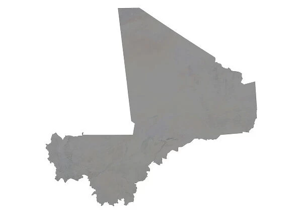
Greetings Card : Mali, Relief Map
![]()

Cards from Universal Images Group (UIG)
Mali, Relief Map
Relief map of Mali. This map was processed from elevation data
Universal Images Group (UIG) manages distribution for many leading specialist agencies worldwide
Media ID 9612535
© Planet Observer
Alsace Bas Rhin Geographical Border Relief Map Satellite View
Greetings Card (A5)
Discover the beauty and complexity of Mali with our exquisite range of greeting cards from Media Storehouse. Featuring a stunning relief map of Mali, sourced from Universal Images Group, these cards offer a unique and captivating perspective of this West African country. Perfect for any occasion, these cards are a thoughtful and visually engaging way to express your sentiments. Let the intricate topography of Mali's landscape speak for itself, as you share your message of love, congratulations, or well wishes. Order yours today and let the power of geography bring your greetings to new heights!
Create your own greetings card. Size when folded is A5 (14.5x21cm or 5.7x8.3 inches)
Greetings Cards suitable for Birthdays, Weddings, Anniversaries, Graduations, Thank You and much more
Estimated Image Size (if not cropped) is 21cm x 14.5cm (8.3" x 5.7")
Estimated Product Size is 21cm x 29cm (8.3" x 11.4")
These are individually made so all sizes are approximate
Artwork printed orientated as per the preview above, with landscape (horizontal) orientation to match the source image.
EDITORS COMMENTS
This print showcases the intricate relief map of Mali, a landlocked country in West Africa. Derived from elevation data, this topographic masterpiece offers a stunning visual representation of Mali's diverse terrain. Every contour and crevice has been meticulously captured, revealing the country's vast plains, rolling hills, and majestic mountain ranges. The vibrant colors used in this image bring life to the otherwise monochromatic landscape. From deep blues depicting water bodies to lush greens symbolizing fertile lands, each hue adds depth and dimension to this remarkable cartographic creation. Photographed from above by an advanced satellite system, this aerial view provides a unique perspective on Mali's physical geography. With no people present in the frame, one can truly appreciate the natural beauty that lies within its geographical borders. Displayed against a backdrop of clear skies and open air, this print transports viewers into an immersive experience where they can explore every inch of Mali's diverse topography without leaving their surroundings. It serves as both an educational tool for geographers and a piece of art for those who appreciate nature's wonders. This particular image is part of Universal Images Group (UIG)'s collection which specializes in capturing breathtaking moments from around the world. While it cannot be used commercially without proper authorization or license acquisition from UIG, it remains an awe-inspiring testament to our planet's incredible landscapes.
MADE IN THE UK
Safe Shipping with 30 Day Money Back Guarantee
FREE PERSONALISATION*
We are proud to offer a range of customisation features including Personalised Captions, Color Filters and Picture Zoom Tools
SECURE PAYMENTS
We happily accept a wide range of payment options so you can pay for the things you need in the way that is most convenient for you
* Options may vary by product and licensing agreement. Zoomed Pictures can be adjusted in the Basket.


