Glass Frame > Europe > Portugal > Maps
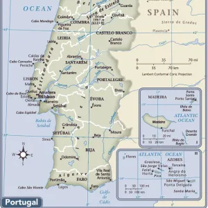
Glass Frame : Map Of Spain And Portugal, Circa. 1760. From "Atlas De Toutes Les Parties Connues Du Globe Terrestre "By Cartographer Rigobert Bonne. Published Geneva Circa. 1760


![]()
Mounted Prints from Design Pics
Map Of Spain And Portugal, Circa. 1760. From "Atlas De Toutes Les Parties Connues Du Globe Terrestre "By Cartographer Rigobert Bonne. Published Geneva Circa. 1760
Map Of Spain And Portugal, Circa. 1760. From " Atlas De Toutes Les Parties Connues Du Globe Terrestre " By Cartographer Rigobert Bonne. Published Geneva Circa. 1760
Design Pics offers Distinctively Different Imagery representing over 1,500 contributors
Media ID 18186429
© Ken Welsh / Design Pics
Cartography Geography Mapmaking Plate Portugal Spain
7"x5" Glass Mount
Wall mounted or free-standing, these black edged glass frames feature a smooth chamfered edge and a stylish black border (on back face of the glass). Manufactured from 4mm thick glass, Glass Mounts are a durable, professional way of displaying and protecting your prints. Your 7x5 print is slotted into the back of the frame so can easily be changed if needed.
Tempered Glass Mounts are ideal for wall display, plus the smaller sizes can also be used free-standing via an integral stand
Estimated Image Size (if not cropped) is 17.7cm x 12.7cm (7" x 5")
Estimated Product Size is 20.3cm x 16.2cm (8" x 6.4")
These are individually made so all sizes are approximate
Artwork printed orientated as per the preview above, with landscape (horizontal) orientation to match the source image.
FEATURES IN THESE COLLECTIONS
> Europe
> Portugal
> Related Images
> Maps and Charts
> Spain
EDITORS COMMENTS
This print showcases a stunning map of Spain and Portugal, dating back to the year 1760. Created by renowned cartographer Rigobert Bonne, this masterpiece is part of his esteemed work "Atlas De Toutes Les Parties Connues Du Globe Terrestre". Published in Geneva during the same era, this map offers a fascinating glimpse into the geography and topography of these two Iberian nations. The intricate details and vibrant colors employed in this engraving are truly remarkable. The skilled craftsmanship involved in its creation is evident as every line and contour has been meticulously etched onto the plate. The horizontal orientation allows for an immersive viewing experience, enabling one to explore every corner of Spain and Portugal with ease. As we delve into this historical artifact, it becomes apparent that it serves not only as a navigational tool but also as a testament to the artistry of mapmaking during that period. This particular print by Ken Welsh captures all these elements flawlessly, preserving its beauty for generations to come. Whether you are an avid historian or simply appreciate fine art, this print will undoubtedly make an exquisite addition to any collection. Its rich history combined with its visual appeal makes it a true treasure worth cherishing.
MADE IN THE UK
Safe Shipping with 30 Day Money Back Guarantee
FREE PERSONALISATION*
We are proud to offer a range of customisation features including Personalised Captions, Color Filters and Picture Zoom Tools
SECURE PAYMENTS
We happily accept a wide range of payment options so you can pay for the things you need in the way that is most convenient for you
* Options may vary by product and licensing agreement. Zoomed Pictures can be adjusted in the Basket.