Glass Coaster > Universal Images Group (UIG) > Universal Images Group > Satellite and Aerial > Planet Observer 5
Glass Coaster : Departement of Eure-et-Loir, France, Relief Map
![]()

Home Decor from Universal Images Group (UIG)
Departement of Eure-et-Loir, France, Relief Map
Relief map of the departement of Eure-et-Loir, France. This image was compiled from data acquired by LANDSAT 5 & 7 satellites combined with elevation data
Universal Images Group (UIG) manages distribution for many leading specialist agencies worldwide
Media ID 9633919
© Planet Observer
Centre Geographical Border Relief Map Eure Et Loir Satellite View
Glass Coaster
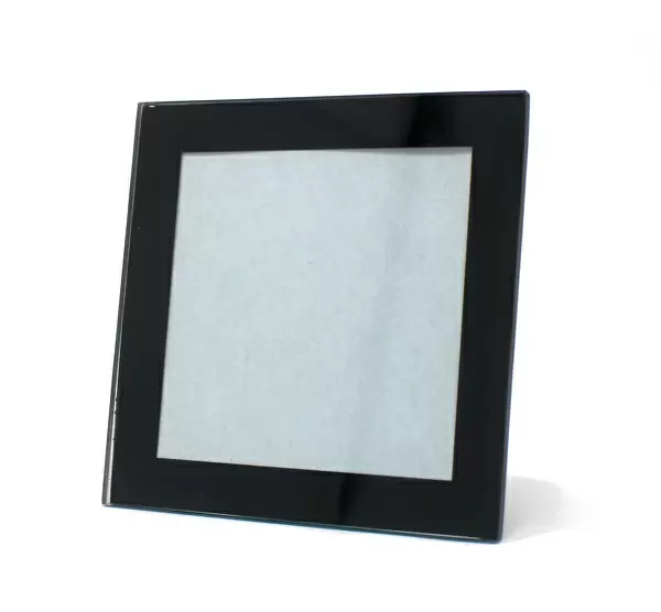
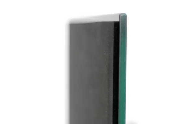
Individual Glass Coaster. Stylish and elegant polished safety glass, toughened and heat resistant (10x10cm, 7mm thick). Price shown is per individual coaster.
Individual Glass Coaster. Elegant polished safety toughened glass and heat resistant, matching Place Mats are also available
Estimated Image Size (if not cropped) is 5.4cm x 7.6cm (2.1" x 3")
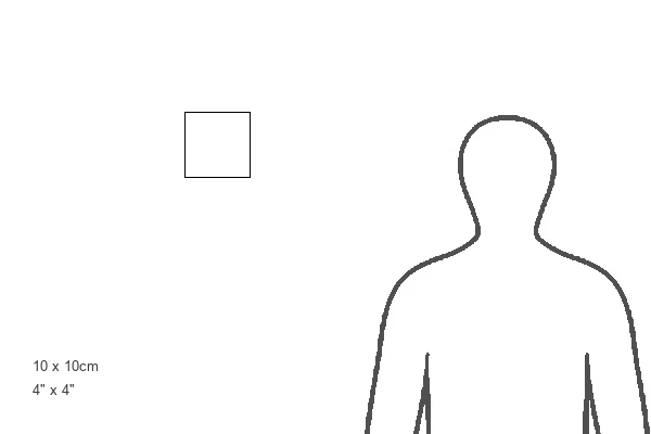
Estimated Product Size is 10cm x 10cm (3.9" x 3.9")
These are individually made so all sizes are approximate
Artwork printed orientated as per the preview above, with portrait (vertical) orientation to match the source image.
EDITORS COMMENTS
This stunning print showcases the relief map of the Departement of Eure-et-Loir in France. The intricate details and vibrant colors bring this topographic map to life, allowing viewers to explore the geographical features of this region. Compiled from data acquired by LANDSAT 5 & 7 satellites combined with elevation data, this image offers a unique perspective on the physical geography of Eure-et-Loir. The central focus of the photograph is on the vertical landscape, highlighting the diverse terrain that characterizes this area. From rolling hills and valleys to rivers and forests, every contour is beautifully captured in this aerial view. The absence of people allows us to fully appreciate nature's artistry without any distractions. As we delve into cartography, we can observe how different shades represent varying elevations, providing valuable insights into landforms and their distribution across Eure-et-Loir. This relief map not only serves as an educational tool but also as a piece of art that celebrates the beauty and complexity found within our natural world. With its geographical borders clearly defined, this photograph invites us to embark on a visual journey through one corner of Europe's captivating landscapes. Whether you are an avid traveler or simply fascinated by physical geography, this print will undoubtedly captivate your imagination and inspire further exploration.
MADE IN THE UK
Safe Shipping with 30 Day Money Back Guarantee
FREE PERSONALISATION*
We are proud to offer a range of customisation features including Personalised Captions, Color Filters and Picture Zoom Tools
SECURE PAYMENTS
We happily accept a wide range of payment options so you can pay for the things you need in the way that is most convenient for you
* Options may vary by product and licensing agreement. Zoomed Pictures can be adjusted in the Basket.


