Framed Print > Arts > Contemporary art > Digital artwork > Street art
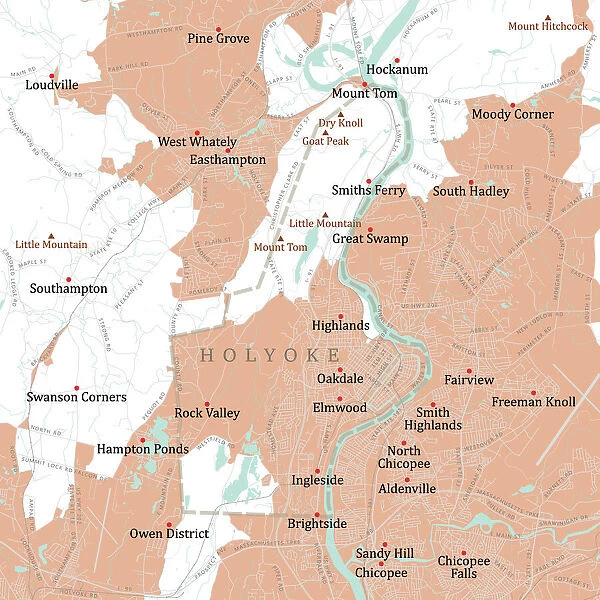
Framed Print : MA Hampden Holyoke Vector Road Map
![]()

Framed Photos from Fine Art Storehouse
MA Hampden Holyoke Vector Road Map
MA Hampden Holyoke Vector Road Map. All source data is in the public domain. U.S. Census Bureau Census Tiger. Used Layers: areawater, linearwater, roads, rails, cousub, pointlm, uac10
Unleash your creativity and transform your space into a visual masterpiece!
Frank Ramspott
Media ID 20690427
© Frank Ramspott, all rights reserved
City Map Computer Graphic Connecticut River County Digital Composite District Geographical Border Hampden Highlands Massachusetts Road Map Text Vector Digitally Generated Image Elmwood Holyoke Ingleside Mount Tom Oakdale
30"x26" (78x68cm) Modern Frame
Discover the unique blend of art and cartography with our Framed Prints from Media Storehouse. This stunning piece, "MA Hampden Holyoke Vector Road Map" by Frank Ramspott from Fine Art Storehouse, showcases a captivating representation of Massachusetts and Holyoke's urban landscape. Meticulously crafted using public domain data from the U.S. Census Bureau Census Tiger, this vector map artfully integrates roads, rails, waterways, and points of interest. Elevate your home or office decor with this one-of-a-kind, framed masterpiece that seamlessly merges art and geography. Experience the allure of Frank Ramspott's masterful design as it adds a touch of sophistication and intrigue to any space.
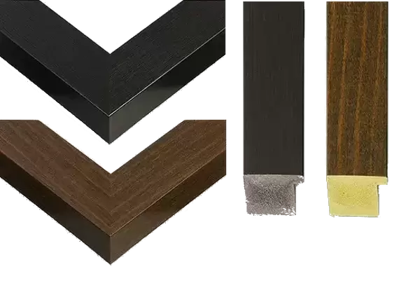
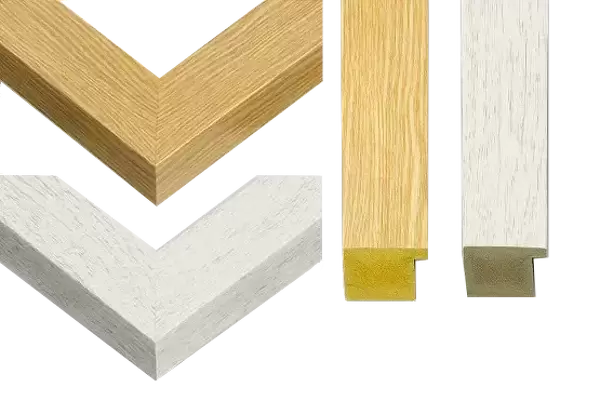
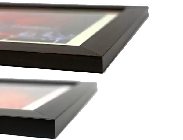
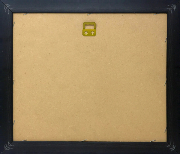
Wood effect frame, card mounted, 24x20 archival quality photo print. Overall outside dimensions 30x26 inches (76x68cm). Environmentally and ozone friendly, 43mm wide x 32mm Polycore® moulding has the look of real wood, is durable and light and easy to hang. Biodegradable and made with non-chlorinated gases (no toxic fumes) it is efficient; producing 100 tons of polystyrene can save 300 tons of trees! Prints are glazed with lightweight, shatterproof, optical clarity acrylic (providing the same general protection from the environment as glass). The back is stapled hardboard with a sawtooth hanger attached. Note: To minimise original artwork cropping, for optimum layout, and to ensure print is secure, the visible print may be marginally smaller
Contemporary Framed and Mounted Prints - Professionally Made and Ready to Hang
Estimated Image Size (if not cropped) is 59.9cm x 59.9cm (23.6" x 23.6")
Estimated Product Size is 68.2cm x 78.2cm (26.9" x 30.8")
These are individually made so all sizes are approximate
Artwork printed orientated as per the preview above, with landscape (horizontal) or portrait (vertical) orientation to match the source image.
FEATURES IN THESE COLLECTIONS
> Fine Art Storehouse
> Map
> Reference Maps
> Animals
> Mammals
> Cats (Wild)
> Tiger
> Arts
> Contemporary art
> Digital artwork
> Street art
> Arts
> Street art graffiti
> Digital art
> Digital paintings
> Europe
> United Kingdom
> Scotland
> Highlands
> Related Images
> Maps and Charts
> Related Images
> Popular Themes
> Lake District
EDITORS COMMENTS
This print titled "MA Hampden Holyoke Vector Road Map" showcases the intricate details of a digitally generated image. Designed by Frank Ramspott, this visually stunning map highlights the geographical borders and features of Massachusetts' Hampden County district. The use of vibrant colors brings life to this computer graphic, which includes elements such as roads, rails, rivers, lakes, and towns. The artist skillfully combines cartography and design to create a visually appealing composition that captures the essence of this region's physical geography. With no people present in the image, the focus is solely on showcasing the beauty and complexity of this area. Featuring prominent locations like Elmwood, Oakdale, Rock Valley, Ingleside, Highlands, Mount Tom, Smiths Ferry, Hampton Ponds, and the majestic Connecticut River flowing through it all; this map provides an invaluable resource for locals and visitors alike. It is important to note that all source data used in creating this artwork is in the public domain from U. S. Census Bureau Census Tiger database. This ensures accuracy while maintaining compliance with copyright regulations. Whether you are a fan of cartography or simply appreciate digital artistry at its finest, this print offers a unique perspective on Massachusetts' Hampden County district. It serves as both an informative tool and a beautiful piece of wall decor for any space
MADE IN THE UK
Safe Shipping with 30 Day Money Back Guarantee
FREE PERSONALISATION*
We are proud to offer a range of customisation features including Personalised Captions, Color Filters and Picture Zoom Tools
SECURE PAYMENTS
We happily accept a wide range of payment options so you can pay for the things you need in the way that is most convenient for you
* Options may vary by product and licensing agreement. Zoomed Pictures can be adjusted in the Basket.


