Home > North America > United States of America > Massachusetts > Worcester
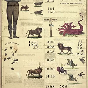
Map depicting North America as Divided by the European Powers, 1774 (litho)
![]()

Wall Art and Photo Gifts from Fine Art Finder
Map depicting North America as Divided by the European Powers, 1774 (litho)
AQS256873 Map depicting North America as Divided by the European Powers, 1774 (litho) by American School, (18th century); American Antiquarian Society, Worcester, Massachusetts, USA; eCourtesy, American Antiquarian Society; American, out of copyright
Media ID 22362086
© Courtesy, American Antiquarian Society / Bridgeman Images
Boundaries Boundary Colonies Colony Divisions New World Territories
FEATURES IN THESE COLLECTIONS
> Arts
> Artists
> Related Images
> Fine Art Finder
> Artists
> American School
> Fine Art Finder
> Maps (celestial & Terrestrial)
> Maps and Charts
> World
> North America
> United States of America
> Maps
> North America
> United States of America
> Massachusetts
> Worcester
EDITORS COMMENTS
This lithograph from the 18th century, titled "Map depicting North America as Divided by the European Powers, 1774" offers a fascinating glimpse into the geopolitical landscape of that time. Created by an American School artist and currently housed in the American Antiquarian Society in Worcester, Massachusetts, this print showcases how European powers divided and controlled territories in the New World. The intricate details on this map highlight the boundaries and colonies established by various European nations across North America. It serves as a visual representation of their territorial divisions during this pivotal period in history. From British colonies stretching along the eastern coast to French holdings extending into Canada, each power's influence is clearly delineated. As we study this engraving closely, it becomes evident that it laid the foundation for what would eventually become known as the United States of America. The map provides valuable insights into how these colonial powers shaped not only their own interests but also influenced future nation-building efforts. With its historical significance and artistic precision, this lithograph transports us back to a time when borders were being drawn and new frontiers were being explored. It reminds us of both our shared past and our collective journey towards independence and self-determination. Thanks to Bridgeman Images' commitment to preserving fine art prints like these, we can appreciate and learn from such remarkable pieces that offer glimpses into our rich history.
MADE IN THE UK
Safe Shipping with 30 Day Money Back Guarantee
FREE PERSONALISATION*
We are proud to offer a range of customisation features including Personalised Captions, Color Filters and Picture Zoom Tools
SECURE PAYMENTS
We happily accept a wide range of payment options so you can pay for the things you need in the way that is most convenient for you
* Options may vary by product and licensing agreement. Zoomed Pictures can be adjusted in the Basket.


