
Colonies Collection
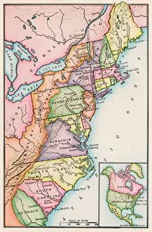
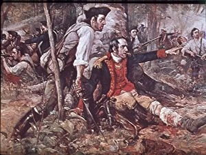
"Exploring the Legacy: Tracing the Footsteps of Colonies" In 1776, thirteen original colonies laid the foundation for a nation that would shape history


All Professionally Made to Order for Quick Shipping
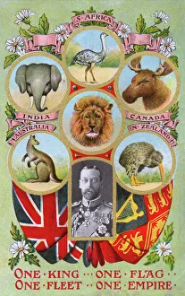
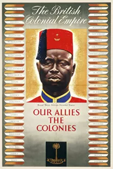
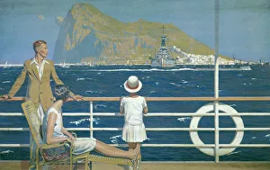
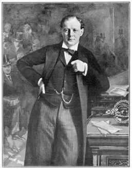
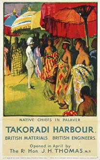
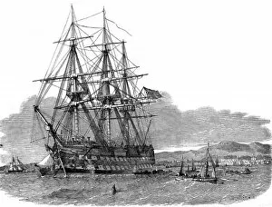
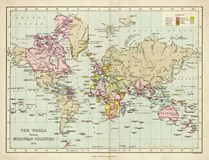
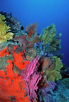
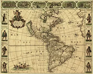
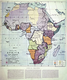
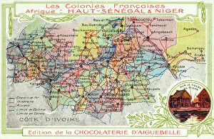
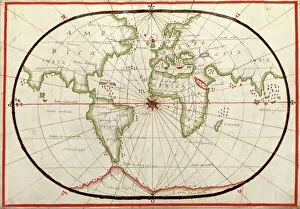
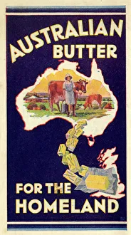
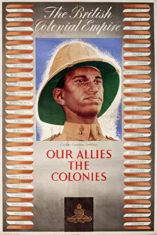
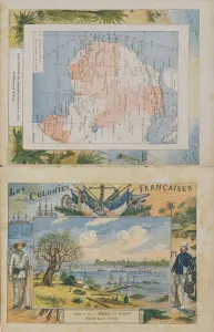
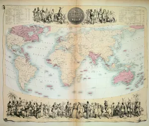
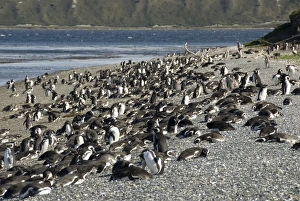
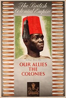
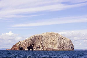
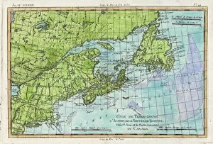
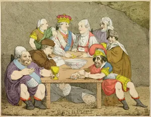
"Exploring the Legacy: Tracing the Footsteps of Colonies" In 1776, thirteen original colonies laid the foundation for a nation that would shape history. As we delve into the past, a map from 1720 unfolds before our eyes, revealing a world dominated by empires and their far-reaching ambitions. The Empire Marketing Board poster showcasing Gibraltar reminds us of Britain's vast colonial empire. It was an era when King George V proudly presented scenes of this mighty empire, capturing its grandeur and diversity. Amidst these historical snapshots, we catch sight of The Emigrant Ship Hercules off Cambelton in Scotland in 1853. A poignant reminder of those who sought new beginnings across distant shores. A young Winston Churchill emerges from the shadows, embodying both the spirit and challenges faced by colonizers throughout history. His determination echoes against a backdrop of Europe depicted on a map from 1700 - a continent ripe with imperial aspirations. Another British Empire Marketing Board poster beckons our attention towards Takoradi Harbour; it symbolizes commerce and connections forged through colonization. Yet amidst human endeavors lies nature's marvels – an underwater coral reef scene teeming with vibrant marine life at Komodo Island in Indonesia reveals Earth's hidden treasures. King George V once again graces our narrative as he introduces us to an enchanting colony nestled within Antarctica's twilight Ross Sea – Emperor Penguins thrive against all odds in GRB03269. These hints paint an intricate tapestry woven by colonies past and present. They remind us to reflect upon both triumphs and tribulations that have shaped nations worldwide. Let us explore these legacies together as we strive for understanding and progress toward a future built on unity rather than division.