
Boundaries Collection
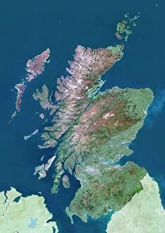
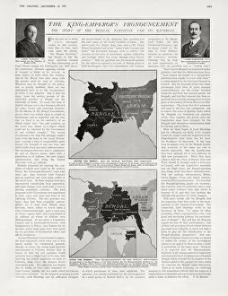
"Exploring Boundaries: Tracing the Historical Imprints of Scotland's Borders" This captivating satellite image showcases the intricate boundaries that define Scotland

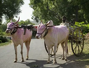


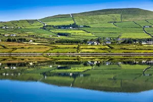


All Professionally Made to Order for Quick Shipping
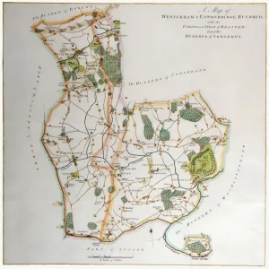
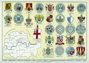
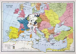
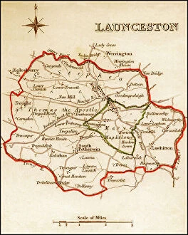
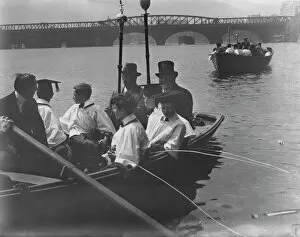
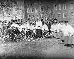
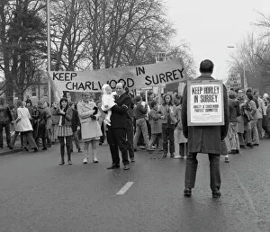
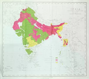
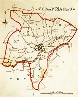
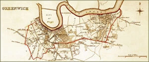
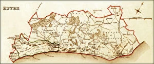
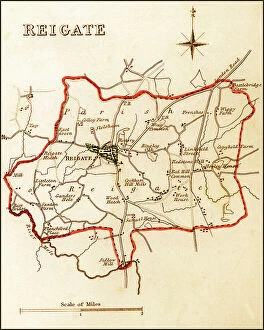
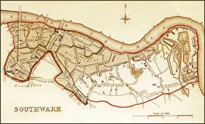
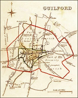
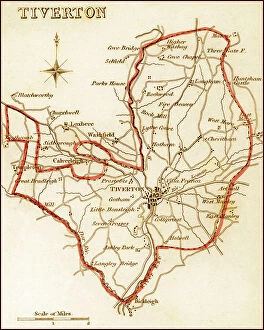
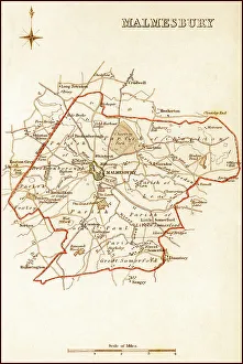
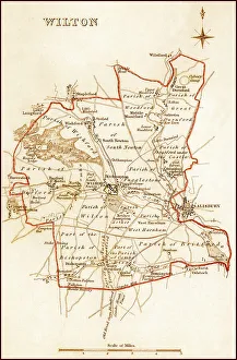
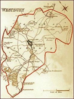
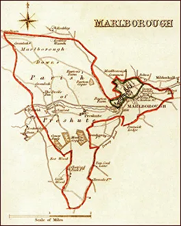
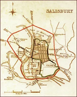
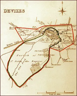
"Exploring Boundaries: Tracing the Historical Imprints of Scotland's Borders" This captivating satellite image showcases the intricate boundaries that define Scotland, UK. From the iconic London arms and seals to a fascinating map of Europe in 1360, these hints unravel a tale of territorial demarcations. Delving deeper into history, we discover an intriguing map depicting Westerham and Eatonbridge Hundred with the Parish and Ville of Brasted. This ancient document reveals how they were meticulously defined even centuries ago. The tradition of "Beating the Bounds Boats" comes alive through vivid images from 1930, where communities gathered to mark their territory along rivers and coastlines. These rituals symbolized unity while reinforcing geographical limits. They have always been subject to change as demonstrated by a passionate demonstration aiming to keep Horley and Charlwood within Surrey's embrace. The fence lining a country road serves as a reminder that borders can shape landscapes both physically and socially. Traveling back in time, we explore Victorian maps showcasing Great Marlow, Windsor, and Abingdon in 1832. These intricately detailed documents provide insights into how boundaries evolved over time while preserving historical landmarks. In this journey through space and time, we witness how they have shaped our world – defining nations, cultures, traditions – yet also reminding us that they are not fixed but constantly evolving reflections of human endeavors.