Acrylic Blox : Sea chart of the Bristol Channel, Jan Luyken, Anonymous, Johannes van Keulen (I)
![]()

Mounted Prints from Liszt Collection
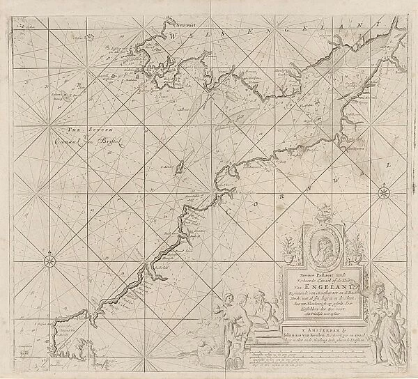
Sea chart of the Bristol Channel, Jan Luyken, Anonymous, Johannes van Keulen (I)
Sea chart of the Bristol Channel, Jan Luyken, Anonymous, Johannes van Keulen (I), 1681-1803
Liszt Collection of nineteenth-century engravings and images to browse and enjoy
Media ID 12721455
© Quint Lox Limited
1681 1803 Address Bargaining Bristol Cartouche Channel Charles Charles Ii Compass Compass Rose Flock French Miles Gentleman Herd Index Finger Indicating Jan Luyken Johannes Van Keulen King Pile Pointing Rose Sea Chart Watch Anonymous Bristol Channel Chart
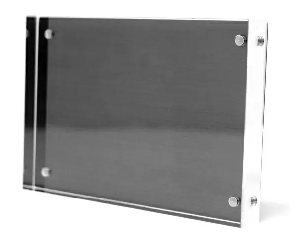
8"x6" (20x15cm) Acrylic Blox
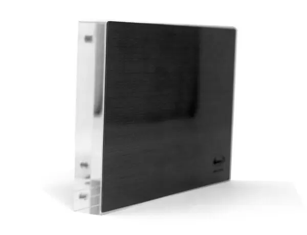
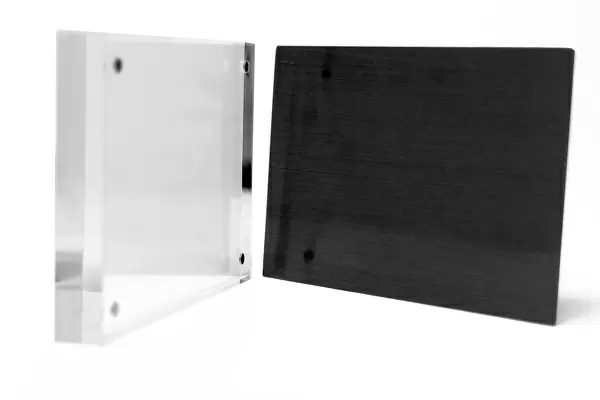
Your photographic print is held in place by magnets and a micro thin sheet of metal covering the back of a 20mm piece of clear acrylic. Your print is held in place with magnets so can easily be replaced if needed.
Streamlined, one sided modern and attractive table top print
Estimated Product Size is 20.3cm x 15.2cm (8" x 6")
These are individually made so all sizes are approximate
Artwork printed orientated as per the preview above, with landscape (horizontal) orientation to match the source image.
EDITORS COMMENTS
In this print titled "Sea chart of the Bristol Channel" we are transported back in time to an era when maps were meticulously hand-drawn and navigational tools were essential for seafarers. The image showcases a beautifully detailed sea chart, created by Jan Luyken, Anonymous, and Johannes van Keulen (I) between 1681 and 1803. The focal point of the picture is a gentleman pointing his index finger towards a specific location on the map. His intent gaze indicates that he is engaged in some form of bargaining or negotiation, perhaps discussing trade routes or exploring new territories. Surrounding him are various elements that add depth to the composition - a herd of sheep grazing peacefully nearby, colorful flowers blooming at their feet, and a compass rose indicating cardinal directions. This historic sea chart not only provides insight into geographical knowledge during that period but also offers glimpses into the political landscape. A portrait of King Charles II can be seen prominently displayed within a cartouche on the map's corner – symbolizing England's influence over these waters. Through Quint Lox's lens, we witness how this remarkable piece intertwines artistry with practicality. It serves as both an informative tool for sailors navigating treacherous waters and as an exquisite work of art capturing the beauty and complexity of our world's geography.
MADE IN THE UK
Safe Shipping with 30 Day Money Back Guarantee
FREE PERSONALISATION*
We are proud to offer a range of customisation features including Personalised Captions, Color Filters and Picture Zoom Tools
SECURE PAYMENTS
We happily accept a wide range of payment options so you can pay for the things you need in the way that is most convenient for you
* Options may vary by product and licensing agreement. Zoomed Pictures can be adjusted in the Basket.


