Tote Bag > Europe > United Kingdom > England > London > Boroughs > Hillingdon
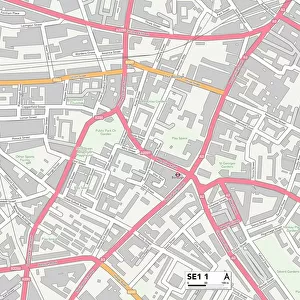
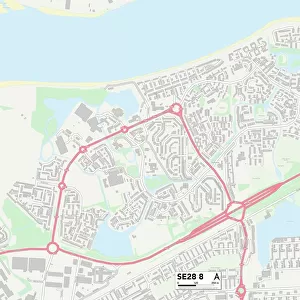
Tote Bag : Southwark SE17 3 Map


![]()
Home Decor from Map Marketing
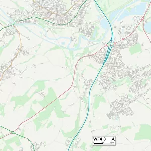
Southwark SE17 3 Map
Postcode Sector Map of Southwark SE17 3
Media ID 19981760
Angel Lane Carter Street Cooks Road Copley Close Dale Road Empress Street Fielding Street Fleming Road Frederick Road Hampton Street Harding Close Langdale Close Manor Place Newington Occupation Road Royal Road Southwark St Pauls Terrace Westcott Road Alberta Street Gateway Kennington Se17
Canvas Tote Bag
Our tote bags are made from soft, durable, poly-poplin fabric and include a one inch (2.5cm) black strap for easy carrying on your shoulder. All seams are double-stitched for added durability. Each tote bag is machine-washable in cold water and is printed on both sides using the same image. Approximate size of bag is 50x33cm (20"x13")
Our tote bags are made from soft durable fabric and include a strap for easy carrying
Estimated Product Size is 50cm x 32.7cm (19.7" x 12.9")
These are individually made so all sizes are approximate
FEATURES IN THESE COLLECTIONS
> Map Marketing
> Postcode Sector Maps
> SE - London SE
> Animals
> Fishes
> S
> Sturgeon
> Arts
> Artists
> C
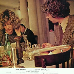
> Paul Carter
> Arts
> Artists
> H
> Harding Harding
> Europe
> United Kingdom
> England
> London
> Boroughs
> Hillingdon
> Europe
> United Kingdom
> England
> London
> Boroughs
> Southwark
> Europe
> United Kingdom
> Scotland
> Sutherland
> Maps and Charts
> Related Images
MADE IN THE UK
Safe Shipping with 30 Day Money Back Guarantee
FREE PERSONALISATION*
We are proud to offer a range of customisation features including Personalised Captions, Color Filters and Picture Zoom Tools
SECURE PAYMENTS
We happily accept a wide range of payment options so you can pay for the things you need in the way that is most convenient for you
* Options may vary by product and licensing agreement. Zoomed Pictures can be adjusted in the Basket.