Fraud Blocker Skip to main content

Dale Road Collection

"Dale Road: A Scenic Journey through the UK's Diverse Landscapes" Embark on a picturesque adventure along Dale Road

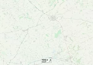
Background imageDale Road Collection: East Riding of Yorkshire YO43 4 Map

East Riding of Yorkshire YO43 4 Map
Postcode Sector Map of East Riding of Yorkshire YO43 4

Background imageDale Road Collection: Bolsover NG20 0 Map

Bolsover NG20 0 Map
Postcode Sector Map of Bolsover NG20 0

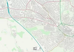
Background imageDale Road Collection: Luton LU1 1 Map

Luton LU1 1 Map
Postcode Sector Map of Luton LU1 1

Background imageDale Road Collection: Conwy LL30 2 Map

Conwy LL30 2 Map
Postcode Sector Map of Conwy LL30 2

Background imageDale Road Collection: York YO60 6 Map

York YO60 6 Map
Postcode Sector Map of York YO60 6

Background imageDale Road Collection: East Riding of Yorkshire YO16 7 Map

East Riding of Yorkshire YO16 7 Map
Postcode Sector Map of East Riding of Yorkshire YO16 7

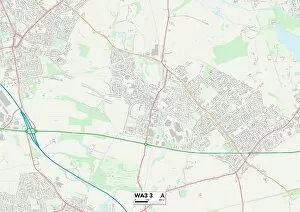
Background imageDale Road Collection: Wigan WA3 3 Map

Wigan WA3 3 Map
Postcode Sector Map of Wigan WA3 3

Background imageDale Road Collection: Cornwall TR7 2 Map

Cornwall TR7 2 Map
Postcode Sector Map of Cornwall TR7 2

Background imageDale Road Collection: Spelthorne TW16 7 Map

Spelthorne TW16 7 Map
Postcode Sector Map of Spelthorne TW16 7

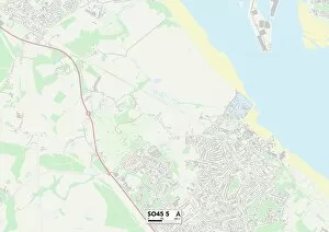
Background imageDale Road Collection: New Forest SO45 5 Map

New Forest SO45 5 Map
Postcode Sector Map of New Forest SO45 5

Background imageDale Road Collection: Southwark SE17 3 Map

Southwark SE17 3 Map
Postcode Sector Map of Southwark SE17 3

Background imageDale Road Collection: Southampton SO16 6 Map

Southampton SO16 6 Map
Postcode Sector Map of Southampton SO16 6

Background imageDale Road Collection: High Peak SK22 4 Map

High Peak SK22 4 Map
Postcode Sector Map of High Peak SK22 4

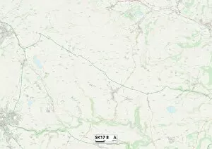
Background imageDale Road Collection: Derbyshire Dales SK17 8 Map

Derbyshire Dales SK17 8 Map
Postcode Sector Map of Derbyshire Dales SK17 8

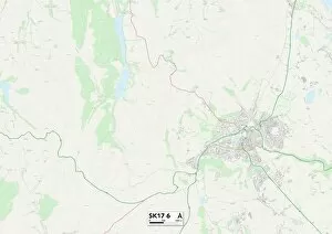
Background imageDale Road Collection: Derbyshire Dales SK17 6 Map

Derbyshire Dales SK17 6 Map
Postcode Sector Map of Derbyshire Dales SK17 6

Background imageDale Road Collection: North East Derbyshire S21 1 Map

North East Derbyshire S21 1 Map
Postcode Sector Map of North East Derbyshire S21 1

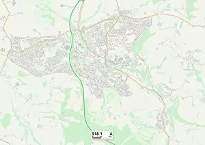
Background imageDale Road Collection: North East Derbyshire S18 1 Map

North East Derbyshire S18 1 Map
Postcode Sector Map of North East Derbyshire S18 1

Background imageDale Road Collection: Rotherham S66 2 Map

Rotherham S66 2 Map
Postcode Sector Map of Rotherham S66 2

Background imageDale Road Collection: Rotherham S65 3 Map

Rotherham S65 3 Map
Postcode Sector Map of Rotherham S65 3

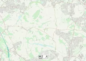
Background imageDale Road Collection: Rotherham S62 7 Map

Rotherham S62 7 Map
Postcode Sector Map of Rotherham S62 7

Background imageDale Road Collection: Ealing UB6 9 Map

Ealing UB6 9 Map
Postcode Sector Map of Ealing UB6 9

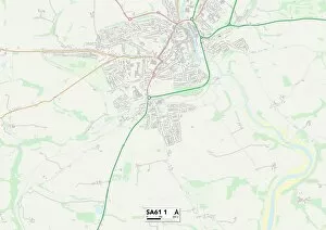
Background imageDale Road Collection: Pembrokeshire SA61 1 Map

Pembrokeshire SA61 1 Map
Postcode Sector Map of Pembrokeshire SA61 1

Background imageDale Road Collection: Mid Sussex RH18 5 Map

Mid Sussex RH18 5 Map
Postcode Sector Map of Mid Sussex RH18 5

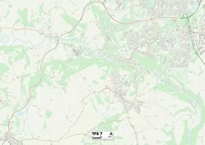
Background imageDale Road Collection: Telford and Wrekin TF8 7 Map

Telford and Wrekin TF8 7 Map
Postcode Sector Map of Telford and Wrekin TF8 7

Background imageDale Road Collection: Chesterfield S42 6 Map

Chesterfield S42 6 Map
Postcode Sector Map of Chesterfield S42 6

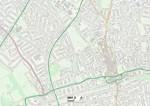
Background imageDale Road Collection: Sutton SM1 2 Map

Sutton SM1 2 Map
Postcode Sector Map of Sutton SM1 2

Background imageDale Road Collection: Southend-on-Sea SS9 2 Map

Southend-on-Sea SS9 2 Map
Postcode Sector Map of Southend-on-Sea SS9 2

Background imageDale Road Collection: Camden NW5 4 Map

Camden NW5 4 Map
Postcode Sector Map of Camden NW5 4

Background imageDale Road Collection: Sheffield S6 6 Map

Sheffield S6 6 Map
Postcode Sector Map of Sheffield S6 6

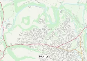
Background imageDale Road Collection: Stockport SK6 6 Map

Stockport SK6 6 Map
Postcode Sector Map of Stockport SK6 6

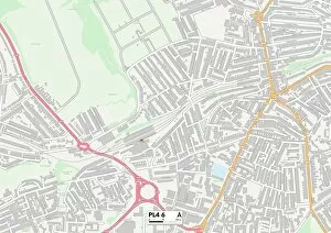
Background imageDale Road Collection: Plymouth PL4 6 Map

Plymouth PL4 6 Map
Postcode Sector Map of Plymouth PL4 6

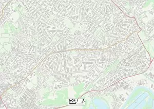
Background imageDale Road Collection: Gedling NG4 1 Map

Gedling NG4 1 Map
Postcode Sector Map of Gedling NG4 1

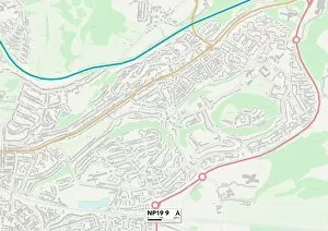
Background imageDale Road Collection: Newport NP19 9 Map

Newport NP19 9 Map
Postcode Sector Map of Newport NP19 9

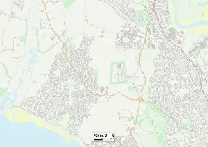
Background imageDale Road Collection: Hampshire PO14 2 Map

Hampshire PO14 2 Map
Postcode Sector Map of Hampshire PO14 2

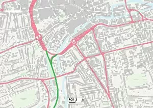
Background imageDale Road Collection: Berkshire RG1 2 Map

Berkshire RG1 2 Map
Postcode Sector Map of Berkshire RG1 2

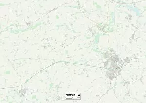
Background imageDale Road Collection: Norfolk NR19 2 Map

Norfolk NR19 2 Map
Postcode Sector Map of Norfolk NR19 2

Background imageDale Road Collection: South Kesteven NG31 8 Map

South Kesteven NG31 8 Map
Postcode Sector Map of South Kesteven NG31 8

Background imageDale Road Collection: Rushcliffe NG12 5 Map

Rushcliffe NG12 5 Map
Postcode Sector Map of Rushcliffe NG12 5

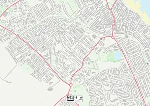
Background imageDale Road Collection: North Tyneside NE25 8 Map

North Tyneside NE25 8 Map
Postcode Sector Map of North Tyneside NE25 8

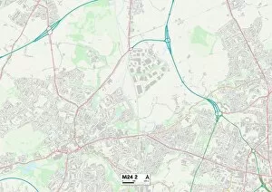
Background imageDale Road Collection: Rochdale M24 2 Map

Rochdale M24 2 Map
Postcode Sector Map of Rochdale M24 2

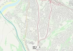
Background imageDale Road Collection: Medway ME1 2 Map

Medway ME1 2 Map
Postcode Sector Map of Medway ME1 2

Background imageDale Road Collection: Central Bedfordshire LU5 4 Map

Central Bedfordshire LU5 4 Map
Postcode Sector Map of Central Bedfordshire LU5 4

Background imageDale Road Collection: Wrexham LL11 6 Map

Wrexham LL11 6 Map
Postcode Sector Map of Wrexham LL11 6

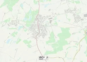
Background imageDale Road Collection: Leicester LE67 6 Map

Leicester LE67 6 Map
Postcode Sector Map of Leicester LE67 6

Background imageDale Road Collection: Elmbridge KT12 2 Map

Elmbridge KT12 2 Map
Postcode Sector Map of Elmbridge KT12 2

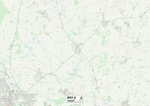
Background imageDale Road Collection: St Edmundsbury IP31 2 Map

St Edmundsbury IP31 2 Map
Postcode Sector Map of St Edmundsbury IP31 2

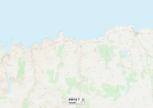
Background imageDale Road Collection: Highland KW14 7 Map

Highland KW14 7 Map
Postcode Sector Map of Highland KW14 7

Background imageDale Road Collection: East Riding of Yorkshire HU15 1 Map

East Riding of Yorkshire HU15 1 Map
Postcode Sector Map of East Riding of Yorkshire HU15 1


All Professionally Made to Order for Quick Shipping

"Dale Road: A Scenic Journey through the UK's Diverse Landscapes" Embark on a picturesque adventure along Dale Road, as it winds its way through some of the most captivating regions in the United Kingdom. From the tranquil East Riding of Yorkshire with its charming YO43 4 Map, to the historic Bolsover NG20 0 Map in Derbyshire, this road trip promises breathtaking sights at every turn. As you continue your journey southwards, make a stop in Luton LU1 1 Map and immerse yourself in its vibrant atmosphere. Explore Conwy LL30 2 Map, a medieval gem nestled within Snowdonia National Park that boasts ancient walls and stunning coastal views. Heading towards York YO60 6 Map, be prepared to step back in time as you wander through its cobbled streets and discover centuries-old architecture. The East Riding of Yorkshire welcomes you once again with YO16 7 Map; here, rolling hills and quaint villages create an idyllic countryside setting. Further west lies Wigan WA3 3 Map—a town renowned for its rich industrial heritage. Marvel at Cornwall TR7 2 Map's golden beaches and rugged cliffs before venturing into Spelthorne TW16 7Map—a district known for its royal connections along the River Thames. Escape into nature's embrace within New Forest SO45 5Map; this enchanting national park offers serene woodland walks amidst wild ponies grazing freely. Delve into history upon reaching Shropshire SY2 5Map—its medieval castles and market towns will transport you to another era. Finally, conclude your journey by exploring Southwark SE17 3Map—the heart of London's cultural scene awaits with iconic landmarks such as Tower Bridge and Shakespeare's Globe Theatre just moments away. Dale Road beckons adventurers seeking diverse landscapes across the UK—an unforgettable expedition filled with beauty, history, and natural wonders awaits those who dare to traverse its path.