Home > Science Photo Library > Aerial and Satellite
Manchester and environs, aerial view
![]()

Wall Art and Photo Gifts from Science Photo Library
Manchester and environs, aerial view
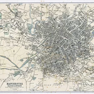
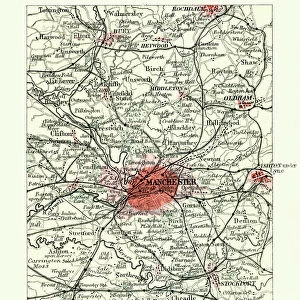
Manchester and environs, aerial view. North is at top. Manchester, one of the largest cities in the UK, is at centre, surrounded by the M60 ring motorway. Manchester, and the surrounding cities and urban areas in this image, comprise the central part of the Greater Manchester Urban Area. The Manchester Ship Canal at centre left leads to the Mersey Estuary (not seen). Reservoirs (centre right) are located in the Peak District. Manchester Airport is at lower left. This image is around 40 kilometres across
Science Photo Library features Science and Medical images including photos and illustrations
Media ID 6315851
© GETMAPPING PLC/SCIENCE PHOTO LIBRARY
Aerial Photography Canal Cities City Earth Observation Field Fields Land Manchester Midlands Montage Motorway Reservoir River Rivers Roads Suburban Town Towns Urban Urban Geography Conurbation Environs Greater Manchester Irwell Manchester Airport Manchester Ship Canal Mersey Motorways North East England Peak District Reservoirs Ring Road Salford Surroundings Trafford
EDITORS COMMENTS
This aerial view showcases the vibrant city of Manchester and its surrounding environs in all their glory. As one of the largest cities in the UK, Manchester takes center stage, proudly displaying its urban landscape. The iconic M60 ring motorway gracefully encircles the city, connecting it to neighboring towns and cities within the Greater Manchester Urban Area. Stretching across this image is a tapestry of geographical wonders that make up this diverse region. To the left, we catch a glimpse of the majestic Manchester Ship Canal leading towards the hidden beauty of Mersey Estuary. On the right, nestled amidst rolling hills in Peak District National Park, reservoirs shimmer under sunlight like precious gems. Not far from these natural wonders lies Manchester Airport, serving as a gateway for travelers venturing into or out of this bustling metropolis. From here, one can explore not only Manchester but also Salford and other nearby towns along River Irwell. This stunning montage captures both urban and suburban landscapes with precision. It offers an intriguing perspective on how nature seamlessly coexists with modern infrastructure in this part of England. With roads weaving through fields and rivers meandering through towns, it exemplifies how human civilization has harmonized with its surroundings. As you gaze upon this print by Science Photo Library spanning approximately 40 kilometers across, allow yourself to be transported into a world where history meets progress and natural beauty intertwines with man-made marvels.
MADE IN THE UK
Safe Shipping with 30 Day Money Back Guarantee
FREE PERSONALISATION*
We are proud to offer a range of customisation features including Personalised Captions, Color Filters and Picture Zoom Tools
SECURE PAYMENTS
We happily accept a wide range of payment options so you can pay for the things you need in the way that is most convenient for you
* Options may vary by product and licensing agreement. Zoomed Pictures can be adjusted in the Basket.


