
Austro Hungarian Empire Collection
"The Austro-Hungarian Empire: A Journey through History" Step back in time with this antique map of Austria Hungary from the 19th century


All Professionally Made to Order for Quick Shipping
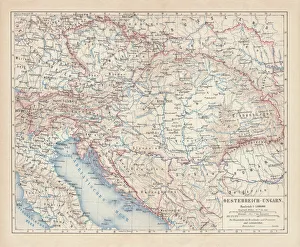
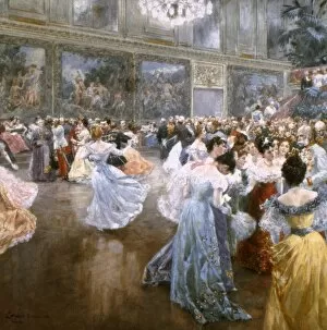
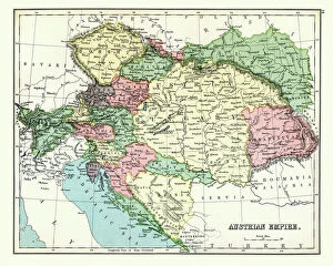
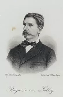
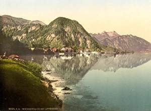
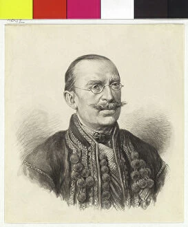
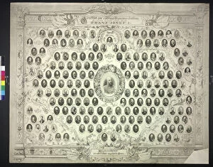
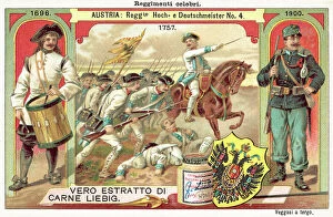
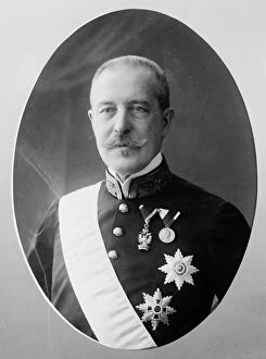
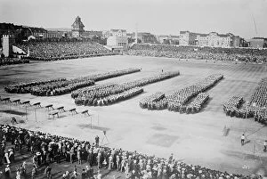
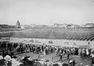
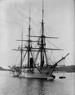
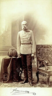
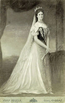
"The Austro-Hungarian Empire: A Journey through History" Step back in time with this antique map of Austria Hungary from the 19th century. Published in 1877, it offers a glimpse into the vast territory that was once known as the Austro-Hungarian Empire or Habsburg Monarchy. Immerse yourself in the opulence of Vienna's Imperial Palace as you witness a lively dance taking place in its public ballroom. Painted by Wilhelm Gause in 1900, this watercolor captures Emperor Francis Joseph on the far right, symbolizing his influential role during that era. Travel further back to late 19th-century Austria with an antique map showcasing the Austrian Empire. Dating back to 1897, it provides insight into the territorial boundaries and political landscape of that time. Discover Beni Kallay, an esteemed Austro-Hungarian statesman whose legacy is immortalized through an intricate engraving. His contributions shaped the empire's governance and policies during his tenure. Experience picturesque Weissenbach, a charming town nestled on Attersee Lake in Austria. This captivating image from c1895 showcases its serene beauty and highlights one of many hidden gems within the empire's borders. Explore beyond Austria's borders with a detailed map depicting Austria-Hungary and neighboring lands created by John Bartholomew & Son in 1920. Gain perspective on how this powerful empire interacted with its surrounding regions. Delve into military history as you admire colored engravings showcasing uniforms worn by soldiers serving under the Austro-Hungarian Army. These illustrations offer glimpses into their distinctive attire and reflect their dedication to duty. Uncover Poland's tumultuous past through another creation by John Bartholomew & Son - a map illustrating its partitions in 1772, 1793, and 1795. Witness how geopolitical shifts altered national boundaries over time. Get acquainted with Central Europe through a map dating back to 1914.