Mouse Mat > Europe > United Kingdom > Scotland > Strathclyde > Lanark
Mouse Mat : Old Map of the County of Lanark from the Philips Handy Atlas of 1882


![]()
Home Decor from MapSeeker
Old Map of the County of Lanark from the Philips Handy Atlas of 1882
PHA020
Welcome to the Mapseeker Image library and enter an historic gateway to one of the largest on-line collections of Historic Maps, Nostalgic Views, Vista's and Panorama's from a World gone by.
Media ID 20348213
County Map County Map Of Scotland Historic Map Old County Map Old Scottish County Map Scottish County Map Lanark Lanarkshire
Mouse Mat
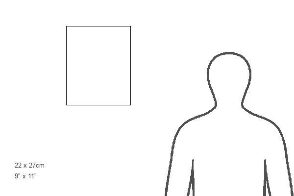
A high quality photographic print manufactured into a durable wipe clean mouse mat (27x22cm) with a non slip backing, which works with all mice.
Archive quality photographic print in a durable wipe clean mouse mat with non slip backing. Works with all computer mice
Estimated Image Size (if not cropped) is 21.8cm x 25.4cm (8.6" x 10")
Estimated Product Size is 21.8cm x 26.9cm (8.6" x 10.6")
These are individually made so all sizes are approximate
Artwork printed orientated as per the preview above, with portrait (vertical) orientation to match the source image.
FEATURES IN THESE COLLECTIONS
> MapSeeker
> Maps from the British Isles
> Scotland and Counties PORTFOLIO
> Europe
> United Kingdom
> Scotland
> Lanarkshire
> Europe
> United Kingdom
> Scotland
> Maps
> Europe
> United Kingdom
> Scotland
> Posters
> Europe
> United Kingdom
> Scotland
> Related Images
> Europe
> United Kingdom
> Scotland
> Strathclyde
> Lanark
> Maps and Charts
> Early Maps
> Maps and Charts
> Related Images
EDITORS COMMENTS
This print showcases an exquisite piece of history, the "Old Map of the County of Lanark from the Philips Handy Atlas of 1882 (PHA020)". Transporting us back in time, this Scottish county map offers a fascinating glimpse into the past. With its intricate details and delicate craftsmanship, this old county map of Lanarkshire is a true testament to cartographic artistry. Every contour and boundary line tells a story, revealing the rich historical tapestry that once defined this region. As we explore this historic lanark map, we are transported through time to an era when maps were meticulously hand-drawn and filled with geographical wonders waiting to be discovered. The names of towns and villages evoke nostalgia for a bygone era while reminding us of their enduring presence in modern-day Scotland. The significance of this old county map extends beyond its aesthetic appeal; it serves as a valuable resource for historians, researchers, or anyone seeking to understand Lanarkshire's past. Its detailed depiction provides insight into how landscapes have evolved over time and how communities have grown and transformed. Whether you are captivated by historical maps or simply appreciate the beauty they hold within their contours, this print is sure to ignite your curiosity about Lanarkshire's heritage. Let yourself be transported back in time as you delve into the depths of this remarkable piece—an ode to both cartography and Scottish history itself.
MADE IN THE UK
Safe Shipping with 30 Day Money Back Guarantee
FREE PERSONALISATION*
We are proud to offer a range of customisation features including Personalised Captions, Color Filters and Picture Zoom Tools
SECURE PAYMENTS
We happily accept a wide range of payment options so you can pay for the things you need in the way that is most convenient for you
* Options may vary by product and licensing agreement. Zoomed Pictures can be adjusted in the Basket.