Metal Print > Arts > Artists > T > Isaac Taylor
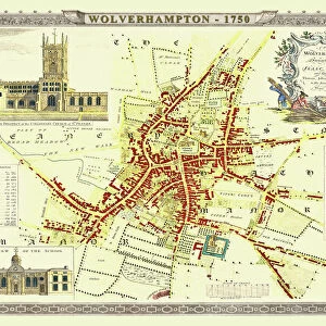
Metal Print : Old Map of Wolverhampton 1750 by Isaac Taylor
![]()

Metal Prints from MapSeeker
Old Map of Wolverhampton 1750 by Isaac Taylor
J066
Welcome to the Mapseeker Image library and enter an historic gateway to one of the largest on-line collections of Historic Maps, Nostalgic Views, Vista's and Panorama's from a World gone by.
Media ID 20347098
Historic Map Old Town Plan Town Plan Isaac Taylor Taylor Wolverhampton
15"x10" (38x25cm) Metal Print
Step back in time with our Old Map of Wolverhampton 1750 Metal Print from Media Storehouse and MapSeeker (J066). This beautiful, vintage map, created by Isaac Taylor, showcases the historical layout of Wolverhampton over 250 years ago. Each Metal Print is meticulously crafted, using high-quality metal sheets coated with a thin layer of photographic material. The result is a stunning, vibrant, and long-lasting image that adds character and charm to any room. With its unique, textured surface and protective coating, this Old Map of Wolverhampton Metal Print is not only an eye-catching decor piece but also a durable investment for generations to come.
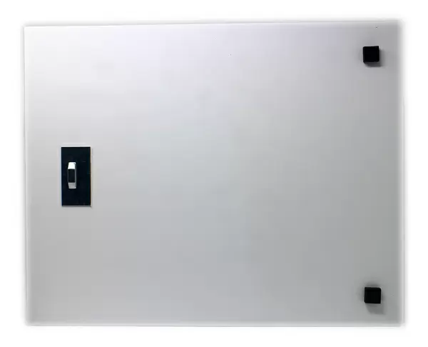
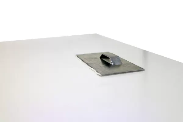
Your image is printed photographically and bonded to a 3.5mm thick, Dibond board (black polyethylene sandwiched between two sheets of white coated aluminium). The panel is then sealed with a gloss protective covering. Supplied complete with a wall mount which holds the print 10mm from the wall.
Made with durable metal and luxurious printing techniques, metal prints bring images to life and add a modern touch to any space
Estimated Product Size is 38.1cm x 25.4cm (15" x 10")
These are individually made so all sizes are approximate
Artwork printed orientated as per the preview above, with landscape (horizontal) or portrait (vertical) orientation to match the source image.
FEATURES IN THESE COLLECTIONS
> MapSeeker
> British Town And City Plans
> English & Welsh PORTFOLIO
> Arts
> Artists
> T
> Isaac Taylor
> Maps and Charts
> Related Images
EDITORS COMMENTS
This print showcases the "Old Map of Wolverhampton 1750" meticulously crafted by Isaac Taylor. Steeped in history, this map offers a fascinating glimpse into the past, revealing the intricate details of Wolverhampton during that era. As we delve into this town plan, we are transported back to a time when Wolverhampton was still emerging as an industrial powerhouse. The map highlights its bustling streets and vibrant city center, providing valuable insights into the layout and development of this historic city. Isaac Taylor's masterful cartography skills are evident in every stroke on this print. With meticulous attention to detail, he captures not only the physical features but also the essence of life in Wolverhampton during that period. From prominent landmarks like St Peter's Church and Molineux House to smaller buildings and winding alleyways, each element tells a story of its own. This old map serves as a window through time for both historians and enthusiasts alike. It allows us to trace the evolution of Wolverhampton from its humble beginnings to becoming one of England's thriving urban centers. Whether you're an avid collector or simply captivated by local history, this print is sure to be a cherished addition to your collection. Display it proudly as a testament to Wolverhampton's rich heritage and Isaac Taylor's remarkable craftsmanship.
MADE IN THE UK
Safe Shipping with 30 Day Money Back Guarantee
FREE PERSONALISATION*
We are proud to offer a range of customisation features including Personalised Captions, Color Filters and Picture Zoom Tools
SECURE PAYMENTS
We happily accept a wide range of payment options so you can pay for the things you need in the way that is most convenient for you
* Options may vary by product and licensing agreement. Zoomed Pictures can be adjusted in the Basket.


