Metal Print > Europe > Republic of Ireland > Maps
Metal Print : The Graphic Statistical Maps of Ireland; Wealth 1884, 1886. Creator: Unknown


![]()
Metal Prints From Heritage Images
The Graphic Statistical Maps of Ireland; Wealth 1884, 1886. Creator: Unknown
The Graphic Statistical Maps of Ireland; Wealth 1884, 1886. From "The Graphic. An Illustrated Weekly Newspaper Volume 33. January to June, 1886"
Heritage Images features heritage image collections
Media ID 36259813
© The Print Collector/Heritage Images
Affluence Counties County Economy Eire Ireland Irish Manufacturing Property Province Provinces Provincial Statistic Statistics Wealth Wealthy
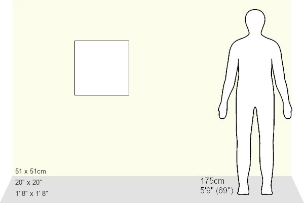
20"x20" (51x51cm) Metal Print
Step back in time with our stunning Metal Print of 'The Graphic Statistical Maps of Ireland: Wealth 1884', 1886, from Heritage Images. This captivating piece, created by an unknown artist for The Graphic Illustrated Weekly Newspaper, offers a unique glimpse into Ireland's economic landscape over a century ago. The intricate details of the map come to life on high-quality metal, creating a vibrant and eye-catching display. Bring history into your home or office with this beautiful and intriguing piece of art.
Your image is printed photographically and bonded to a 3.5mm thick, Dibond board (black polyethylene sandwiched between two sheets of white coated aluminium). The panel is then sealed with a gloss protective covering. Supplied complete with a wall mount which holds the print 10mm from the wall.
Made with durable metal and luxurious printing techniques, metal prints bring images to life and add a modern touch to any space
Estimated Product Size is 50.8cm x 50.8cm (20" x 20")
These are individually made so all sizes are approximate
Artwork printed orientated as per the preview above, with landscape (horizontal) or portrait (vertical) orientation to match the source image.
FEATURES IN THESE COLLECTIONS
> Europe
> Republic of Ireland
> Maps
> Maps and Charts
> Related Images
The Graphic Statistical Maps of Ireland - Wealth 1884
EDITORS COMMENTS
is an intriguing and captivating engraving from the 19th century, showcasing the distribution of wealth across the counties and provinces of Ireland during that period. The map, created in 1886 and published in "The Graphic: An Illustrated Weekly Newspaper," offers a unique glimpse into the economic landscape of Ireland during the height of British rule. The map is a rich tapestry of color and detail, with each county and province represented by a distinct hue, ranging from deep reds and purples, indicating areas of high affluence, to greens and blues, signifying lower wealth levels. The map is not only a visual representation of economic disparities but also a testament to the industrial and manufacturing prowess of various regions. The map's title, "The Graphic Statistical Maps of Ireland: Wealth 1884," suggests that the data used to create the map was collected several years prior to its publication. This makes it an invaluable historical resource, shedding light on the economic conditions that existed in Ireland during the late 19th century. The map's creation during this period is particularly noteworthy, as it comes at a time when Ireland was under British rule and undergoing significant economic changes. The map provides a snapshot of the country's economic landscape before the onset of major industrialization and urbanization, which would transform the Irish economy in the decades that followed. The map's unknown creator remains a mystery, adding to its allure and intrigue. It is a reminder that even in an era of advanced technology and data collection, there are still many historical mysteries waiting to be unraveled. The map is a testament to the power of visual storytelling and the enduring appeal of historical data, making it a must-have for any serious collector of Irish or 19th-century history.
MADE IN THE UK
Safe Shipping with 30 Day Money Back Guarantee
FREE PERSONALISATION*
We are proud to offer a range of customisation features including Personalised Captions, Color Filters and Picture Zoom Tools
SECURE PAYMENTS
We happily accept a wide range of payment options so you can pay for the things you need in the way that is most convenient for you
* Options may vary by product and licensing agreement. Zoomed Pictures can be adjusted in the Basket.