Metal Print > Fine Art Finder > Artists > Willem Blaeu
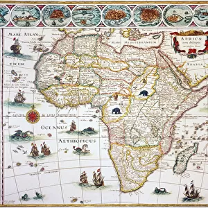
Metal Print : Map of The Moluccan Island, engraved by Jodocus Hondius, 1630 (colour engraving)
Please select a smaller print size for this image
![]()

Metal Prints from Fine Art Finder
Map of The Moluccan Island, engraved by Jodocus Hondius, 1630 (colour engraving)
XCF285146 Map of The Moluccan Island, engraved by Jodocus Hondius, 1630 (colour engraving) by Blaeu, Willem (1571-1638); Private Collection; Dutch, out of copyright
Media ID 12797261
© www.bridgemanimages.com
Cartouche Dutch East Indies East Indies Geographical Iles Indonesia Islands Isles Maluku Mapping Moluccas Spice Islands Timor Halmahera
20"x16" (51x41cm) Metal Print
Discover the captivating allure of history with our Media Storehouse Metal Prints featuring the exquisite Map of The Moluccan Island, engraved by Jodocus Hondius in 1630. This stunning color engraving, originally published by Blaeu, showcases intricate detail and vibrant colors that bring the past to life. This piece, out of copyright, is a beautiful addition to any home or office, showcasing the rich cartographic history of the Dutch Golden Age. Experience the unique texture and durability of our Metal Prints, which are sure to impress with their vivid colors and long-lasting quality.
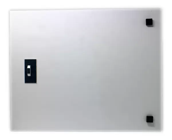
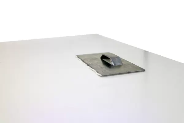
Your image is printed photographically and bonded to a 3.5mm thick, Dibond board (black polyethylene sandwiched between two sheets of white coated aluminium). The panel is then sealed with a gloss protective covering. Supplied complete with a wall mount which holds the print 10mm from the wall.
Made with durable metal and luxurious printing techniques, metal prints bring images to life and add a modern touch to any space
Estimated Product Size is 50.8cm x 40.6cm (20" x 16")
These are individually made so all sizes are approximate
Artwork printed orientated as per the preview above, with landscape (horizontal) or portrait (vertical) orientation to match the source image.
EDITORS COMMENTS
This print showcases a remarkable piece of cartographic history - the "Map of The Moluccan Island" engraved by Jodocus Hondius in 1630. With its vibrant colors and intricate details, this map takes us back to a time when exploration and trade were at their peak. The Moluccan Islands, also known as the Spice Islands, held immense significance during the Dutch East Indies era. This map provides an invaluable glimpse into the geographical layout of these islands, including Halmahera, Gilolo, Timor, Tidor, Machian, and many more. Each island is meticulously depicted with precision and accuracy. One cannot help but be captivated by the elaborate cartouche adorning this map. Designed by Henrij Blaeu himself, it adds a touch of elegance to an already stunning artwork. The attention to detail in every element speaks volumes about the craftsmanship involved in creating such a masterpiece. As we gaze upon this print from Fine Art Finder's private collection, we are transported to an era where these islands played a vital role in shaping world history. It serves as a reminder of how geography has influenced cultural exchange throughout centuries. Whether you have an interest in cartography or simply appreciate beautiful artistry, this print is sure to leave you mesmerized. Its historical significance combined with its aesthetic appeal makes it a truly valuable addition to any collection or display space.
MADE IN THE UK
Safe Shipping with 30 Day Money Back Guarantee
FREE PERSONALISATION*
We are proud to offer a range of customisation features including Personalised Captions, Color Filters and Picture Zoom Tools
SECURE PAYMENTS
We happily accept a wide range of payment options so you can pay for the things you need in the way that is most convenient for you
* Options may vary by product and licensing agreement. Zoomed Pictures can be adjusted in the Basket.


