Metal Print > Europe > Russia > Maps
Metal Print : European Russia, North, 1745
![]()

Metal Prints From Fine Art Finder
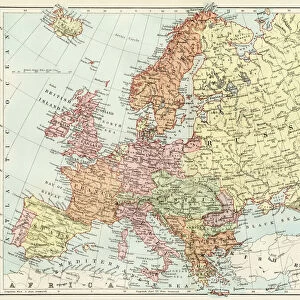
European Russia, North, 1745
2902747 European Russia, North, 1745; (add.info.: European Russia, North, 1745.); Buyenlarge Archive/UIG
Media ID 38249424
© Buyenlarge Archive/UIG / Bridgeman Images
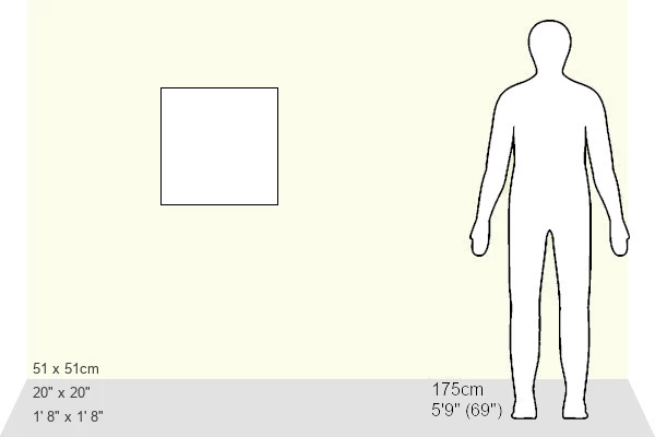
20"x20" (51x51cm) Metal Print
Step into the past with our Metal Prints featuring stunning historical maps from Bridgeman Images! This 'European Russia, North' print takes you back to 1745 and offers a unique glimpse of the region's early days. With its durable metal finish and vibrant colors, this piece is sure to be a conversation starter in any room. Bring history home with our Media Storehouse Metal Prints!
Your image is printed photographically and bonded to a 3.5mm thick, Dibond board (black polyethylene sandwiched between two sheets of white coated aluminium). The panel is then sealed with a gloss protective covering. Supplied complete with a wall mount which holds the print 10mm from the wall.
Made with durable metal and luxurious printing techniques, metal prints bring images to life and add a modern touch to any space
Estimated Product Size is 50.8cm x 50.8cm (20" x 20")
These are individually made so all sizes are approximate
Artwork printed orientated as per the preview above, with landscape (horizontal) or portrait (vertical) orientation to match the source image.
FEATURES IN THESE COLLECTIONS
> Fine Art Finder
> Artists
> Raymond de la Neziere
> Maps and Charts
> Related Images
EDITORS COMMENTS
This stunning print captures a glimpse of European Russia in the year 1745. The intricate details and precise cartography of this map offer a fascinating look into the geographical landscape of North European Russia during the 18th century.
The map showcases the vast expanse of Russian territory, with its sprawling forests, winding rivers, and rugged terrain. It provides valuable insight into the historical boundaries and divisions that shaped this region at that time.
As we study this map, we are transported back in time to an era when exploration and discovery were paramount. The meticulous craftsmanship of the cartographer is evident in every line and symbol, highlighting their dedication to accurately representing the land they were mapping.
From small villages to major cities, each location on this map tells a story of its own – a testament to the rich history and cultural heritage of European Russia. It serves as a reminder of how far we have come in our understanding of geography and how much there is still left to explore.
This print is not just a piece of art; it is a window into the past, allowing us to connect with our ancestors and gain a deeper appreciation for the world around us.
MADE IN THE UK
Safe Shipping with 30 Day Money Back Guarantee
FREE PERSONALISATION*
We are proud to offer a range of customisation features including Personalised Captions, Color Filters and Picture Zoom Tools
SECURE PAYMENTS
We happily accept a wide range of payment options so you can pay for the things you need in the way that is most convenient for you
* Options may vary by product and licensing agreement. Zoomed Pictures can be adjusted in the Basket.


