Metal Print > Maps and Charts > Africa
Metal Print : Map Of North Africa Circa. 1760. From "Atlas De Toutes Les Parties Connues Du Globe Terrestre "By Cartographer Rigobert Bonne. Published Geneva Circa. 1760
![]()

Metal Prints from Design Pics
Map Of North Africa Circa. 1760. From "Atlas De Toutes Les Parties Connues Du Globe Terrestre "By Cartographer Rigobert Bonne. Published Geneva Circa. 1760
Map Of North Africa Circa.1760. From " Atlas De Toutes Les Parties Connues Du Globe Terrestre " By Cartographer Rigobert Bonne. Published Geneva Circa. 1760
Design Pics offers Distinctively Different Imagery representing over 1,500 contributors
Media ID 18186406
© Ken Welsh / Design Pics
Africa Cartography Geography Mapmaking North Plate
15"x10" (38x25cm) Metal Print
Step back in time with our stunning Metal Print of a historic map of North Africa, circa 1760. Originally published in the "Atlas De Toutes Les Parties Connues Du Globe Terrestre" by renowned cartographer Rigobert Bonne in Geneva, this captivating map offers a glimpse into the cartographic knowledge of the past. Our high-quality Metal Print brings the intricate details of this antique map to life, making it a unique and eye-catching addition to any room. Perfect for history enthusiasts, cartography collectors, or those who appreciate the beauty of vintage maps, this Metal Print is sure to impress. Experience the rich history of North Africa through the lens of 18th-century cartography with our beautiful and authentic reproduction.
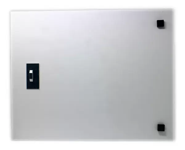
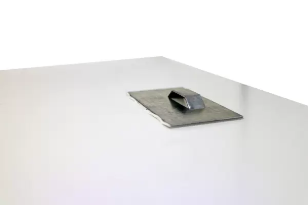
Your image is printed photographically and bonded to a 3.5mm thick, Dibond board (black polyethylene sandwiched between two sheets of white coated aluminium). The panel is then sealed with a gloss protective covering. Supplied complete with a wall mount which holds the print 10mm from the wall.
Made with durable metal and luxurious printing techniques, metal prints bring images to life and add a modern touch to any space
Estimated Product Size is 38.1cm x 25.4cm (15" x 10")
These are individually made so all sizes are approximate
Artwork printed orientated as per the preview above, with landscape (horizontal) or portrait (vertical) orientation to match the source image.
FEATURES IN THESE COLLECTIONS
> Maps and Charts
> Related Images
EDITORS COMMENTS
This print showcases a stunning map of North Africa circa 1760, taken from the renowned "Atlas De Toutes Les Parties Connues Du Globe Terrestre" by esteemed cartographer Rigobert Bonne. Published in Geneva around the same period, this exquisite piece of cartography is a true testament to Bonne's skill and precision. The map itself is a visual feast for geography enthusiasts and history buffs alike. Its vibrant colors and intricate details bring to life the diverse landscapes and rich cultural heritage of North Africa during that era. From the vast Sahara Desert stretching across multiple countries to the fertile Nile River Valley, every feature on this horizontal illustration has been meticulously engraved with utmost care. As one explores this remarkable piece, it becomes evident that it not only serves as an invaluable historical document but also as a work of art. The careful craftsmanship and attention to detail are truly awe-inspiring, making it clear why maps like these were highly sought after in their time. Ken Welsh's expert photography captures every nuance of this extraordinary map print, allowing viewers to appreciate its beauty up close. Whether you're an avid collector or simply fascinated by ancient cartography, this print will undoubtedly be a cherished addition to your collection – transporting you back in time to discover the wonders of North Africa as seen through Rigobert Bonne's masterful eyes.
MADE IN THE UK
Safe Shipping with 30 Day Money Back Guarantee
FREE PERSONALISATION*
We are proud to offer a range of customisation features including Personalised Captions, Color Filters and Picture Zoom Tools
SECURE PAYMENTS
We happily accept a wide range of payment options so you can pay for the things you need in the way that is most convenient for you
* Options may vary by product and licensing agreement. Zoomed Pictures can be adjusted in the Basket.


