Fraud Blocker Skip to main content

Home > MapSeeker > British Town And City Plans > English & Welsh PORTFOLIO

English & Welsh PORTFOLIO Collection

Old Town and City Plans of England and Wales

Choose a picture from our English & Welsh PORTFOLIO Collection for your Wall Art and Photo Gifts

183 items

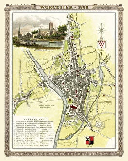
Background imageEnglish & Welsh PORTFOLIO Collection: Old Map of Worcester 1808 by Cole and Roper

Old Map of Worcester 1808 by Cole and Roper
An attractive and detailed early 19th century reproduction town plan of Worcester 1808. First published by Cole and Roper as a finely engraved series of county maps

Background imageEnglish & Welsh PORTFOLIO Collection: Old Street Map of The Isle of Dogs and River Thames at Greenwich 1908

Old Street Map of The Isle of Dogs and River Thames at Greenwich 1908
Detailed colour Street Plan of London from 1908 covering the area around The Isle of Dogs and The River Thames at Greenwich.The image has been remastered from Bartholomews Handy Atlas of London

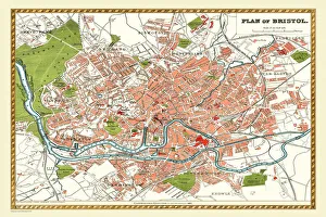
Background imageEnglish & Welsh PORTFOLIO Collection: Old Map of Bristol 1893 from the Comprehensive Gazetteer Atlas of England and Wales

Old Map of Bristol 1893 from the Comprehensive Gazetteer Atlas of England and Wales
This detailed reproduction plan of Bristol has been re-worked from an antique originally published in the oComprehensive Gazetteer of England and Waleso 1893

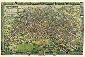
Background imageEnglish & Welsh PORTFOLIO Collection: A Conjectural Picture Map of Birmingham In 1730

A Conjectural Picture Map of Birmingham In 1730
This is a striking colourful picture map of Birmingham in 1730, originally imagined & drawn from city records by Bernard Sleigh and lettered by I.A. Ellis, 1923

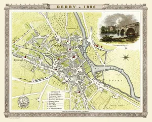
Background imageEnglish & Welsh PORTFOLIO Collection: Old Map of Derby 1806 by Cole and Roper

Old Map of Derby 1806 by Cole and Roper
An attractive and detailed early 19th century reproduction town plan of Derby 1805. First published by Cole and Roper as a finely engraved series of county maps

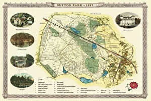
Background imageEnglish & Welsh PORTFOLIO Collection: Old Map of Sutton Park near Sutton Coldfield 1885

Old Map of Sutton Park near Sutton Coldfield 1885
PL017

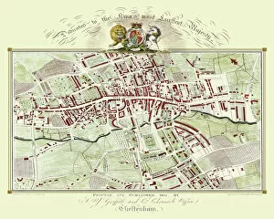
Background imageEnglish & Welsh PORTFOLIO Collection: Old Map of Cheltenham 1825 by Griffith s

Old Map of Cheltenham 1825 by Griffith s
Fine reproduction in full colour of Griffiths new historical description of Cheltenham and its vicinity originally published in 1825

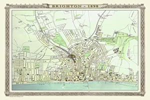
Background imageEnglish & Welsh PORTFOLIO Collection: Old Map of Brighton 1898 from the Royal Atlas by Bartholomew

Old Map of Brighton 1898 from the Royal Atlas by Bartholomew
A fine very detailed plan of the Seaside Town of Brighton from 1898 remastered from an original contained within " The Royal Atlas of England and Wales" ; edited by J.G

Background imageEnglish & Welsh PORTFOLIO Collection: Old Map of the Village of Streetly near Sutton Coldfield 1918

Old Map of the Village of Streetly near Sutton Coldfield 1918
PL015

Background imageEnglish & Welsh PORTFOLIO Collection: Old Map of Wolverhampton 1750 by Isaac Taylor

Old Map of Wolverhampton 1750 by Isaac Taylor
J066

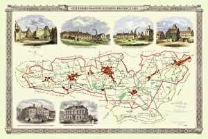
Background imageEnglish & Welsh PORTFOLIO Collection: Old Map of Stoke on Trent and the Potteries 1831

Old Map of Stoke on Trent and the Potteries 1831
G148

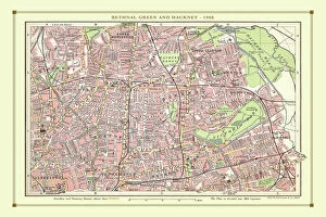
Background imageEnglish & Welsh PORTFOLIO Collection: Old Street Map of Bethnal Green and Hackney 1908

Old Street Map of Bethnal Green and Hackney 1908
Detailed colour Street Plan of London from 1908 covering the area around Bethnal Green and Hackney. The image has been remastered from Bartholomews Handy Atlas of London and Suburbs 1908

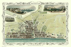
Background imageEnglish & Welsh PORTFOLIO Collection: Old Map of Brighton 1851 by John Tallis

Old Map of Brighton 1851 by John Tallis
A most attractive Victorian plan of Brighton in Sussex by John Tallis 1851 showing its famous Chain Pier reaching out into the English Channel

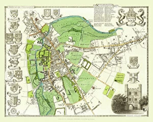
Background imageEnglish & Welsh PORTFOLIO Collection: Old Map of the City of Cambridge 1836 by Thomas Moule

Old Map of the City of Cambridge 1836 by Thomas Moule
This is a fine decorative reproduction Map of The City of Cambridge from the First Edition series of Thomas Moule Maps, originally Published in 1836

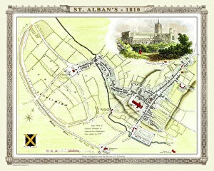
Background imageEnglish & Welsh PORTFOLIO Collection: Old Map of St Albans 1810 by Cole and Roper

Old Map of St Albans 1810 by Cole and Roper
An attractive and detailed early 19th century reproduction town plan of St Albans 1810. First published by Cole and Roper as a finely engraved series of county maps

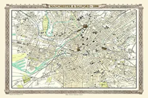
Background imageEnglish & Welsh PORTFOLIO Collection: Old Map of Manchester and Salford 1898 from the Royal Atlas by Bartholomew

Old Map of Manchester and Salford 1898 from the Royal Atlas by Bartholomew
A fine very detailed plan of the City of Manchester and Salford remastered from an original contained within " The Royal Atlas of England and Wales" ; edited by J.G

Background imageEnglish & Welsh PORTFOLIO Collection: Old Map of the Village of Little Aston in the West Midlands 1886

Old Map of the Village of Little Aston in the West Midlands 1886
PL009

Background imageEnglish & Welsh PORTFOLIO Collection: Old Map of Dudley 1835

Old Map of Dudley 1835
J037

Background imageEnglish & Welsh PORTFOLIO Collection: Old Map of Bath 1851 by John Tallis

Old Map of Bath 1851 by John Tallis
This is a splendid Victorian map by John Tallis 1851 of the historic Spa City of Bath in North East Somerset nestled between a bend on the River Avon

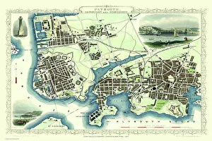
Background imageEnglish & Welsh PORTFOLIO Collection: Old Map of Plymouth Devonport and Stonehouse 1851 by John Tallis

Old Map of Plymouth Devonport and Stonehouse 1851 by John Tallis
An attractive Victorian plan of Plymouth in Devon by John Tallis 1851, with Morice Town, Higher Stoke, Stoke, Devonport and Stonehouse

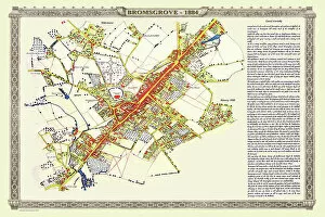
Background imageEnglish & Welsh PORTFOLIO Collection: Old Map of the Town of Bromsgrove in Worcestershire 1884

Old Map of the Town of Bromsgrove in Worcestershire 1884
PL003

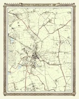
Background imageEnglish & Welsh PORTFOLIO Collection: Old Map of the District of Sutton Coldfield in the West Midlands 1887

Old Map of the District of Sutton Coldfield in the West Midlands 1887
PL016

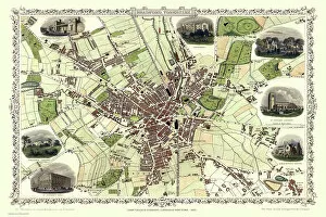
Background imageEnglish & Welsh PORTFOLIO Collection: Old Map of Leeds 1851 by John Tallis

Old Map of Leeds 1851 by John Tallis
This map of Leeds in West Yorkshire by John Tallis 1851 features the districts of Woodhouse Carr, Great Woodhouse, Little London, New Town, Little Woodhouse, New Wortley, Holbeck, and Hunslet

Background imageEnglish & Welsh PORTFOLIO Collection: Old Map of Bristol 1903

Old Map of Bristol 1903
J104

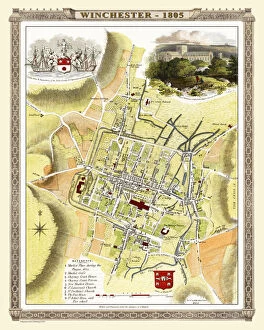
Background imageEnglish & Welsh PORTFOLIO Collection: Old Map of Winchester 1805 by Cole and Roper

Old Map of Winchester 1805 by Cole and Roper
An attractive and detailed early 19th century reproduction town plan of Winchester 1805. First published by Cole and Roper as a finely engraved series of county maps

Background imageEnglish & Welsh PORTFOLIO Collection: Old Map of Village of Fazeley near Tamworth 1885

Old Map of Village of Fazeley near Tamworth 1885
PL025

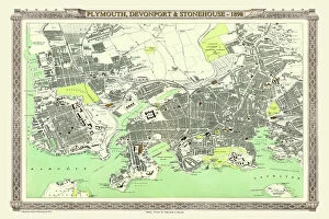
Background imageEnglish & Welsh PORTFOLIO Collection: Old Map of Plymouth, Devonport and Stonehouse 1898 from the Royal Atlas by Bartholomew

Old Map of Plymouth, Devonport and Stonehouse 1898 from the Royal Atlas by Bartholomew
A fine very detailed plan of the Port City of Plymouth with Devonport and Stonehouse, remastered from an original contained within " The Royal Atlas of England and Wales" ; edited by J.G

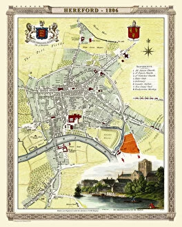
Background imageEnglish & Welsh PORTFOLIO Collection: Old Map of Hereford 1806 by Cole and Roper

Old Map of Hereford 1806 by Cole and Roper
An attractive and detailed early 19th century reproduction town plan of Hereford 1806. First published by Cole and Roper as a finely engraved series of county maps

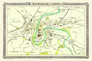
Background imageEnglish & Welsh PORTFOLIO Collection: Old Map of Durham 1898 from the Royal Atlas by Bartholomew

Old Map of Durham 1898 from the Royal Atlas by Bartholomew
A fine very detailed plan of the City of Durham remastered from an original contained within " The Royal Atlas of England and Wales" ; edited by J.G

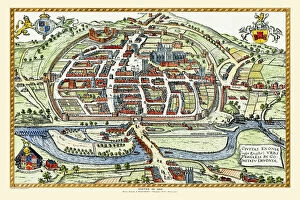
Background imageEnglish & Welsh PORTFOLIO Collection: Old Map of Exeter by Braun and Hogenburg 1618

Old Map of Exeter by Braun and Hogenburg 1618
A fine reproduction of Frans Hogenbergs city plan of Exeter originally published as one of the many in the city atlas which was intended to be a companion to the earlier Theatrum Orbis Terrarum

Background imageEnglish & Welsh PORTFOLIO Collection: Old Map of Exeter 1805 by Cole and Roper

Old Map of Exeter 1805 by Cole and Roper
An attractive and detailed early 19th century reproduction town plan of Exeter 1805. First published by Cole and Roper as a finely engraved series of county maps

Background imageEnglish & Welsh PORTFOLIO Collection: Old Map of Exeter 1851 by John Tallis

Old Map of Exeter 1851 by John Tallis
The River Exe skirts the South West of this plan of Exeter in Devon by John Tallis 1851 with the Exe Bridge providing direct access through the heart of Exeter

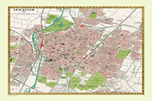
Background imageEnglish & Welsh PORTFOLIO Collection: Old Map of Leicester 1903

Old Map of Leicester 1903
J105

Background imageEnglish & Welsh PORTFOLIO Collection: Old Map of Lichfield with inset view of Lichfield Cathedral surveyed in 1781

Old Map of Lichfield with inset view of Lichfield Cathedral surveyed in 1781
J035

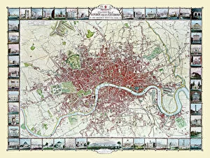
Background imageEnglish & Welsh PORTFOLIO Collection: Old Map of London 1851 by John Tallis

Old Map of London 1851 by John Tallis
Commemorating the Great Exhibition of Industry of All Nations 1851, this magnificent plan of London, re-created and art worked directly from the antique original

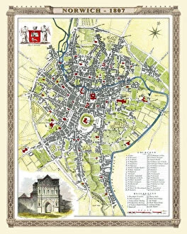
Background imageEnglish & Welsh PORTFOLIO Collection: Old Map of Norwich 1807 by Cole and Roper

Old Map of Norwich 1807 by Cole and Roper
An attractive and detailed early 19th century reproduction plan of the City of Norwich 1807. First published by Cole and Roper as a finely engraved series of county maps

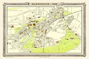
Background imageEnglish & Welsh PORTFOLIO Collection: Old Map of Harrogate 1898 from the Royal Atlas by Bartholomew

Old Map of Harrogate 1898 from the Royal Atlas by Bartholomew
A fine very detailed town plan of Harrogate from 1898 remastered from an original contained within " The Royal Atlas of England and Wales" ; edited by J.G

Background imageEnglish & Welsh PORTFOLIO Collection: Old Street Map of Kensington and Notting Hill 1908

Old Street Map of Kensington and Notting Hill 1908
Detailed colour Street Plan of London from 1908 covering the area around Kensington and Notting Hill. The image has been remastered from Bartholomews Handy Atlas of London and Suburbs 1908

Background imageEnglish & Welsh PORTFOLIO Collection: Old Map of the Town of Willenhall in the West Midlands 1884

Old Map of the Town of Willenhall in the West Midlands 1884
PL024

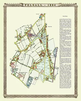
Background imageEnglish & Welsh PORTFOLIO Collection: Old Map of the Village of Pelsall near Walsall 1884

Old Map of the Village of Pelsall near Walsall 1884
PL010

Background imageEnglish & Welsh PORTFOLIO Collection: Old Map of Cambridge 1804 by Cole and Roper

Old Map of Cambridge 1804 by Cole and Roper
An attractive and detailed early 19th century reproduction town plan of Cambridge 1804. First published by Cole and Roper as a finely engraved series of county maps

Background imageEnglish & Welsh PORTFOLIO Collection: Old Map of Northampton 1807 by Cole and Roper

Old Map of Northampton 1807 by Cole and Roper
An attractive and detailed early 19th century reproduction town plan of Northampton 1807. First published by Cole and Roper as a finely engraved series of county maps

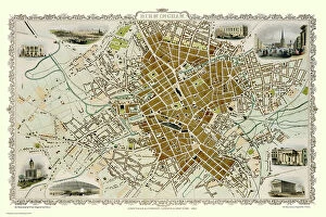
Background imageEnglish & Welsh PORTFOLIO Collection: Old Map of Birmingham 1851 by John Tallis

Old Map of Birmingham 1851 by John Tallis
This attractive plan of mid Victorian Birmingham in the Midlands by John Tallis 1851 shows the first railways and important canal network. The work is attractively presented with eight illustrations

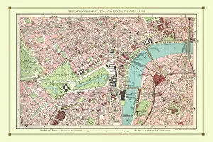
Background imageEnglish & Welsh PORTFOLIO Collection: Old Street Map of The Strand, West End and River Thames 1908

Old Street Map of The Strand, West End and River Thames 1908
Detailed colour Street Plan of London from 1908 covering the area around The Strand, The West End and the River Thames.The image has been remastered from Bartholomews Handy Atlas of London

Background imageEnglish & Welsh PORTFOLIO Collection: Old Map of Bradford 1851 by John Tallis

Old Map of Bradford 1851 by John Tallis
In this John Tallis 1851 map of Bradford in west Yorkshire the railways are now well established, buildings now stretch out from the centre of Bradford along the main artery roads

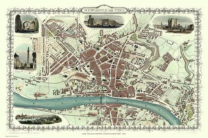
Background imageEnglish & Welsh PORTFOLIO Collection: Old Map of Newcastle upon Tyne 1851 by John Tallis

Old Map of Newcastle upon Tyne 1851 by John Tallis
Newcastle 1851, Gateshead is to the bottom of the John Tallis 1851 plan of Newcastle in Tyne and Wear with the famous High Level Railway crossing the River Tyne into Newcastle Central station

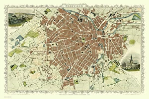
Background imageEnglish & Welsh PORTFOLIO Collection: Old Map of Sheffield 1851 by John Tallis

Old Map of Sheffield 1851 by John Tallis
A fine 1851 map by John Tallis of Victorian, industrial Sheffield in South Yorkshire that shows the steady growth of industry and housing to the left of the plan

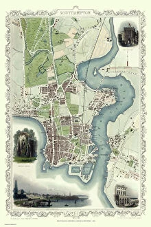
Background imageEnglish & Welsh PORTFOLIO Collection: Old Map of Southampton 1851 by John Tallis

Old Map of Southampton 1851 by John Tallis
The River Itchen dominates the 1851 John Tallis plan of Southampton in Hampshire with The Parks covering a great expanse to the top left


All Professionally Made to Order for Quick Shipping


-

Why Choose Us?

We are a leading provider of Art Prints and Photo Gifts since 2003, working in partnership with a range of Sporting Clubs, Charities, Museums and Picture Libraries. A large share of profits from any of their images will go directly towards supporting that charity or club. Our archive of images is carefully curated to bring you a wide range of subjects, including landscapes, wildlife, architecture, and more. We ship from our partner labs in the UK, USA, EU (Netherlands) and Australia.
+

How do I place an order?

Ordering is quick & easy - Just follow 5 Simple Steps:
  1. Find your image: Use our search box or browse our online photo Collections to find the image you want.

  2. Choose your print format: Select your desired product and add it to your cart.

  3. Enter your details: If you're a returning customer, simply enter your email address and password, and we'll fill in your billing and shipping address details. All personal details are held securely and are fully GDPR compliant. As standard, we remove all Personally Identifiable Information after 12 months.

  4. Pay for your purchase: We use state-of-the-art security for online shopping and do not have access to your card details.

  5. Sit back and relax: We'll email you confirmation of your order and when it's dispatched. Registered customers can also track orders in the 'My Account' area.

+

How do I pay for an order?

You can pay for your order with most of the major credit and debit cards, or PayPal. For added security, major financial institutions process payment details separately and securely on our behalf. We do not have access to your online payment card details. Online payments are preferred however we do take phone orders. For UK customers only we accept cheques issued against a UK bank.
+

Is my data safe?

We take data security very seriously. We do not have access to your full card details and all payments are requested over a fully secure connection. Additionally, we fully comply with current European and GDPR legislation, and automatically remove all personal data after at most 12 months (unless you have an account with us and have signed in recently). We also have a strict opt-in policy and would never sell your personal details. Your data is only used to fulfill your order promptly and efficiently.
+

Is wall art ready to hang?

For quick and easy installation all wall art, including framed prints, canvas prints and metal prints are supplied with a ready to hang solution on the back. Generally, saw tooth hangers are applied as they allow wall art to hang flush against the wall. The serrated edge of the hanger prevents the frame from shifting or tilting when hung.
+

Are the photo prints fade resistant?

Yes, we use archival quality photo paper photographic paper for vivid reproduction Prints are an accurate representations of the original artwork, which is preserved for artistic character and authenticity. We guarantee they match previews shown on our web site