Fraud Blocker Skip to main content

Home > Maps and Charts > Related Images

Related Images Collection (page 40)

50,000 items

Background imageRelated Images Collection: Map of Michigan and Wisconsin 1877

Map of Michigan and Wisconsin 1877
The Eclectic Elementary Geography by Wilson & Hinkle / Cincinnati -New York 1881

Background imageRelated Images Collection: Sardinia and Sicily map 1896

Sardinia and Sicily map 1896
Andres Allgemeiner Handatlas - Bielefeld und Leipzig 1896

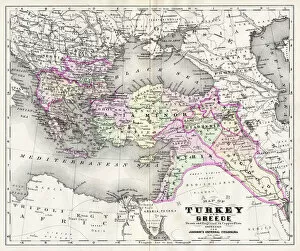
Background imageRelated Images Collection: Map of Turkey and Greece 1894

Map of Turkey and Greece 1894
Johnsons Universal Cyclopedia - Volume VIII New York - A. J. Johnson Company 1894

Background imageRelated Images Collection: woodcut map illustration of Newark Earthworks, Ohio

woodcut map illustration of Newark Earthworks, Ohio
Woodcut map of Newark Earthworks, Ohio, USA. Built during Hopewell culture. 1889 facsimile of 1862 map in Prehistoric Man by Daniel Wilson

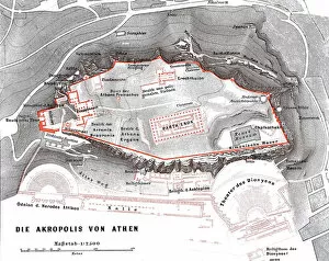
Background imageRelated Images Collection: Map of the Acropolis in Athens

Map of the Acropolis in Athens
Illustration from 19th century

Background imageRelated Images Collection: Antique map of Germany, 1897, late 19th Century

Antique map of Germany, 1897, late 19th Century
Vintage engraving of a Antique map of Germany, 1897, late 19th Century

Background imageRelated Images Collection: Antique map of Persia, Afghanistan, Beloochistan, 1897, late 19th Century

Antique map of Persia, Afghanistan, Beloochistan, 1897, late 19th Century
Vintage engraving of a Antique map of Persia, Afghanistan, Beloochistan, 1897, late 19th Century

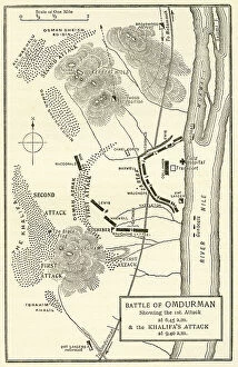
Background imageRelated Images Collection: Map Of The Battle Of Omdurman, Khartoum, Sudan, 1898, Showing The 1st Attack At 6. 45 A. m

Map Of The Battle Of Omdurman, Khartoum, Sudan, 1898, Showing The 1st Attack At 6. 45 A. m
Map Of The Battle Of Omdurman, Khartoum, Sudan, 1898, Showing The 1st Attack At 6.45 A.m. And The Khalifas Attack At 9.40 A.m

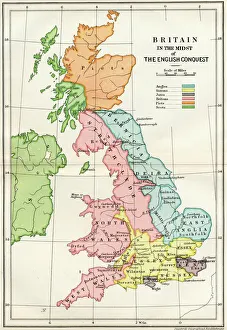
Background imageRelated Images Collection: Map Of Britain In The Midst Of The English Conquest From A Short History Of The English People By

Map Of Britain In The Midst Of The English Conquest From A Short History Of The English People By John Richard Green Published By Macmillan And Co 1911

Background imageRelated Images Collection: Newcastle upon Tyne city map 1895

Newcastle upon Tyne city map 1895
Meyers Konversations-Lexikon. Ein Nachschlagewerk des allgemeinen Wissens, 5th edition 17 volumes Bibliographisches Institut - Leipzig 1895-1897

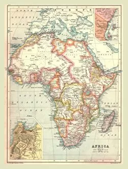
Background imageRelated Images Collection: Map of Africa, 1902. Creator: Unknown

Map of Africa, 1902. Creator: Unknown
Map of Africa, 1902. Showing colonial possessions including French West Africa and German South West Africa, with insets of Table Bay in South Africa, and British and German East Africa

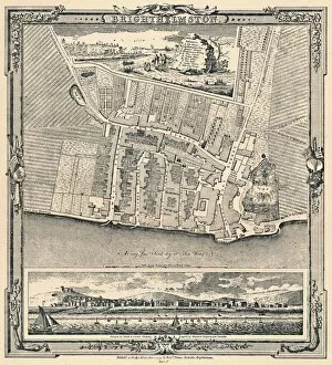
Background imageRelated Images Collection: Brighthelmston, c1779, (1939)

Brighthelmston, c1779, (1939). From A History of the Royal Pavilion, Brighton, by Henry D. Roberts. [Country Life Limited, London, 1939]

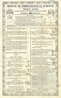
Background imageRelated Images Collection: Phrenological chart, Sheffield, Yorkshire, 1845

Phrenological chart, Sheffield, Yorkshire, 1845
Phrenological chart of Sarah Betteleys head. Undertaken by Thomas Adair, Honorary Member of the Sheffield Phrenological Society and Mesmeric Demonstrator. Head about average size

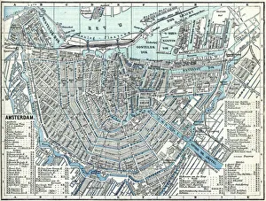
Background imageRelated Images Collection: Map of city Amsterdam Netherlands from 1881

Map of city Amsterdam Netherlands from 1881 Original edition from my own archives Source : Illustriertes Konversations Lexikon 1881

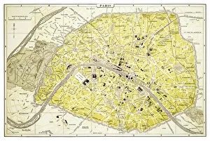
Background imageRelated Images Collection: Map of Paris 1894

Map of Paris 1894
map/plan of the city of Paris, France

Background imageRelated Images Collection: Minot North Dakota US City Street Map

Minot North Dakota US City Street Map
Vector Illustration of a City Street Map of Minot, North Dakota, USA. Scale 1:60, 000. All source data is in the public domain. U.S

Background imageRelated Images Collection: colorful Tokyo art map background

colorful Tokyo art map background

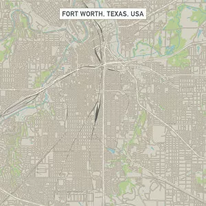
Background imageRelated Images Collection: Fort Worth Texas US City Street Map

Fort Worth Texas US City Street Map
Vector Illustration of a City Street Map of Fort Worth, Texas, USA. Scale 1:60, 000. All source data is in the public domain. U.S

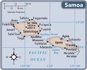
Background imageRelated Images Collection: Samoa country map

Samoa country map
2011 edition

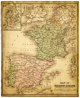
Background imageRelated Images Collection: western europe map 1883

western europe map 1883
a map of Western europe from 1883

Background imageRelated Images Collection: western europe 1867

western europe 1867
a map of Western europe from 1867, overlay with grunge burnt texture paper

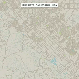
Background imageRelated Images Collection: Murrieta California US City Street Map

Murrieta California US City Street Map
Vector Illustration of a City Street Map of Murrieta, California, USA. Scale 1:60, 000. All source data is in the public domain. U.S

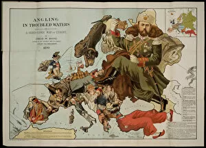
Background imageRelated Images Collection: Angling in Troubled Waters. A Serio-Comic Map of Europe. Artist: Fred W

Angling in Troubled Waters. A Serio-Comic Map of Europe. Artist: Fred W. Rose (active End of 19th cen. )
Angling in Troubled Waters. A Serio-Comic Map of Europe. Private Collection

Background imageRelated Images Collection: Panoramic view of Palestine with Jerusalem City, 1833. Artist: Anonymous

Panoramic view of Palestine with Jerusalem City, 1833. Artist: Anonymous
Panoramic view of Palestine with Jerusalem City, 1833. Found in the collection of the State History Museum, Moscow

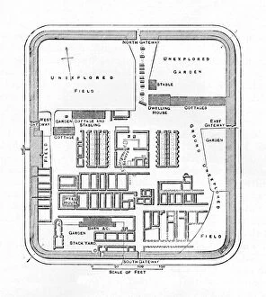
Background imageRelated Images Collection: Plan of Bremenium, 1902

Plan of Bremenium, 1902. Bremenium was an ancient Roman fort (castra) located at Rochester, Northumberland, England. The fort was one of the defensive structures built along Dere Street

Background imageRelated Images Collection: Plan of the Defences at Rorkes Drift, (Jan. 22, 1879), c1880

Plan of the Defences at Rorkes Drift, (Jan. 22, 1879), c1880
Plan of the Defences at Rorkes Drift (Jan. 22, 1879), c1880. Episode of the Anglo-Zulu Wars (1879-1896). From British Battles on Land and Sea, Vol. IV, by James Grant

Background imageRelated Images Collection: Plan of the Marches near Isandhlwana between Jan. 12th and 22nd, 1879, c1880

Plan of the Marches near Isandhlwana between Jan. 12th and 22nd, 1879, c1880. From British Battles on Land and Sea, Vol. IV, by James Grant. [Cassell Petter & Galpin, London, Paris & Melbourne, c1880]

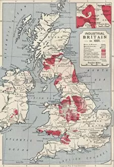
Background imageRelated Images Collection: Map of industrial Britain in 1881, 1906

Map of industrial Britain in 1881, 1906. From Cassells Illustrated History of England, Vol. VII. [Cassell and Company, Limited, London, Paris, New York & Melbourne, 1906]

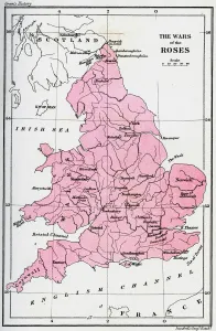
Background imageRelated Images Collection: Map of the Wars of the Roses, 15th century (1893)

Map of the Wars of the Roses, 15th century (1893). The Wars of the Roses was a civil war fought over the throne of England between adherents of the House of Lancaster and the House of York

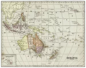
Background imageRelated Images Collection: Map of Oceania 1877

Map of Oceania 1877
Warrens Common School Geography 1877

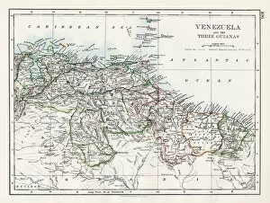
Background imageRelated Images Collection: Venezuela and the Guayanas map 1897

Venezuela and the Guayanas map 1897
The World-Wide Atlas of Modern Geography, Political and Physical W. & A.K. Johnston - London 1897

Background imageRelated Images Collection: Mexico map 1897

Mexico map 1897
The World-Wide Atlas of Modern Geography, Political and Physical W. & A.K. Johnston - London 1897

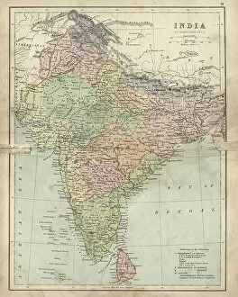
Background imageRelated Images Collection: Antique damaged map of India 19th Century

Antique damaged map of India 19th Century
Vintage engraving of a Antique damaged map of India in the 19th Century, 1873

Background imageRelated Images Collection: Alsace-Lorraine map 1880

Alsace-Lorraine map 1880
Illustration of a Alsace-Lorraine map 1880

Background imageRelated Images Collection: North Carolina map 1884

North Carolina map 1884
Encyclopedia Britannica 9th Edition New York Charles Scribners and Sonsl 1884 Vol XVII

Background imageRelated Images Collection: Pennsylvania map 1885

Pennsylvania map 1885
Encyclopedia Britannica 9th Edition New York Charles Scribners and Sons 1885 Vol XVIII

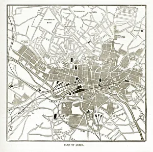
Background imageRelated Images Collection: Victorian Map of Leeds, England Engraving, Circa 1840

Victorian Map of Leeds, England Engraving, Circa 1840
Very Rare, Beautifully Illustrated Antique Engraving of Victorian Map of Leeds, England from Our Own Country, Great Britain, Descriptive, Historical, Pictorial. Published in 1880

Background imageRelated Images Collection: Oceania map 1889

Oceania map 1889
Indiana Educational Series The Complete Geography - Indianapolis 1889

Background imageRelated Images Collection: Chart of ocean currents 1889

Chart of ocean currents 1889
Indiana Educational Series The Complete Geography - Indianapolis 1889

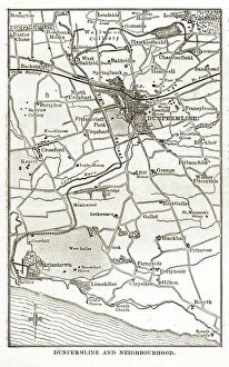
Background imageRelated Images Collection: Victorian Map of Dunfermline, Scotland. Engraving, Circa 1840

Victorian Map of Dunfermline, Scotland. Engraving, Circa 1840
Very Rare, Beautifully Illustrated Antique Engraving of Victorian Map of Dunfermline, Scotland from Our Own Country, Great Britain, Descriptive, Historical, Pictorial. Published in 1880

Background imageRelated Images Collection: Antique Map of Rome

Antique Map of Rome
illustration of a Antique Map of Rome

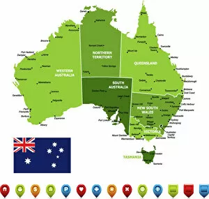
Background imageRelated Images Collection: Australia Map

Australia Map
High detailed Australia Vector Map with Navigation Icons

Background imageRelated Images Collection: Kosovo country map

Kosovo country map
2011 edition

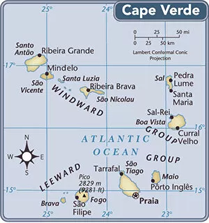
Background imageRelated Images Collection: Cape Verde country map

Cape Verde country map
2011 edition

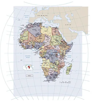
Background imageRelated Images Collection: Africa continent map

Africa continent map
2011 edition

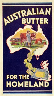
Background imageRelated Images Collection: Advert, Australian Butter for the Homeland

Advert, Australian Butter for the Homeland. 1936

Background imageRelated Images Collection: Map - Santa Fe Hotels and Dining Stations run by Fred Harvey

Map - Santa Fe Hotels and Dining Stations run by Fred Harvey
Map of the USA, showing the locations Santa Fe Hotels and Dining Stations under the management of Fred Harvey. Date: circa 1935

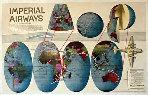
Background imageRelated Images Collection: Route map, Imperial Airways

Route map, Imperial Airways. 1938


All Professionally Made to Order for Quick Shipping


-

Why Choose Us?

We are a leading provider of Art Prints and Photo Gifts since 2003, working in partnership with a range of Sporting Clubs, Charities, Museums and Picture Libraries. A large share of profits from any of their images will go directly towards supporting that charity or club. Our archive of images is carefully curated to bring you a wide range of subjects, including landscapes, wildlife, architecture, and more. We ship from our partner labs in the UK, USA, EU (Netherlands) and Australia.
+

How do I place an order?

Ordering is quick & easy - Just follow 5 Simple Steps:
  1. Find your image: Use our search box or browse our online photo Collections to find the image you want.

  2. Choose your print format: Select your desired product and add it to your cart.

  3. Enter your details: If you're a returning customer, simply enter your email address and password, and we'll fill in your billing and shipping address details. All personal details are held securely and are fully GDPR compliant. As standard, we remove all Personally Identifiable Information after 12 months.

  4. Pay for your purchase: We use state-of-the-art security for online shopping and do not have access to your card details.

  5. Sit back and relax: We'll email you confirmation of your order and when it's dispatched. Registered customers can also track orders in the 'My Account' area.

+

How do I pay for an order?

You can pay for your order with most of the major credit and debit cards, or PayPal. For added security, major financial institutions process payment details separately and securely on our behalf. We do not have access to your online payment card details. Online payments are preferred however we do take phone orders. For UK customers only we accept cheques issued against a UK bank.
+

Is my data safe?

We take data security very seriously. We do not have access to your full card details and all payments are requested over a fully secure connection. Additionally, we fully comply with current European and GDPR legislation, and automatically remove all personal data after at most 12 months (unless you have an account with us and have signed in recently). We also have a strict opt-in policy and would never sell your personal details. Your data is only used to fulfill your order promptly and efficiently.
+

Is wall art ready to hang?

For quick and easy installation all wall art, including framed prints, canvas prints and metal prints are supplied with a ready to hang solution on the back. Generally, saw tooth hangers are applied as they allow wall art to hang flush against the wall. The serrated edge of the hanger prevents the frame from shifting or tilting when hung.
+

Are the photo prints fade resistant?

Yes, we use archival quality photo paper photographic paper for vivid reproduction Prints are an accurate representations of the original artwork, which is preserved for artistic character and authenticity. We guarantee they match previews shown on our web site