Fraud Blocker Skip to main content

Home > Maps and Charts > Related Images

Related Images Collection (page 39)

50,000 items

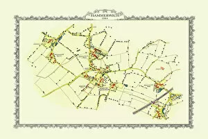
Background imageRelated Images Collection: Old Map of the Village of Hammerwich in Staffordshire 1884

Old Map of the Village of Hammerwich in Staffordshire 1884
PL047

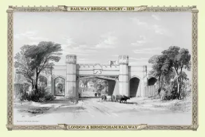
Background imageRelated Images Collection: Views on the London to Birmingham Railway - Railway Bridge at Rugby 1839

Views on the London to Birmingham Railway - Railway Bridge at Rugby 1839
A finely detailed facimile remastered in full colour from an antique original map of " Dumbartonshire" featured in A&C Blacks Atlas of 1847

Background imageRelated Images Collection: Map of Sussex, England

Map of Sussex, England

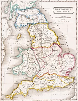
Background imageRelated Images Collection: Map of England Britannia Antiqua From The Atlas of Ancient Geography by Samuel Butler published

Map of England Britannia Antiqua From The Atlas of Ancient Geography by Samuel Butler published London circa 1829

Background imageRelated Images Collection: Christmas scene at the Evelina Childrens Hospital

Christmas scene at the Evelina Childrens Hospital
Christmas comes but once a year -- a scene at the Evelina Childrens Hospital, founded in Southwark, London, in 1869. A sick little girl is visited by her mother and younger sister

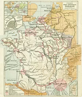
Background imageRelated Images Collection: France Waterways map 1887

France Waterways map 1887
Map from La Premiere Annee de Geographie par P. Foncin - Paris 1887

Background imageRelated Images Collection: Map of the Siege of Quebec, Canada 1759

Map of the Siege of Quebec, Canada 1759
Vintage engraving of a Map of the Siege of Quebec, Canada 1759. The Battle of the Plains of Abraham, also known as the Battle of Quebec was a pivotal battle in the Seven Years War

Background imageRelated Images Collection: Map of the Battle of Valcour Island, 1776

Map of the Battle of Valcour Island, 1776
Vintage engraving of Map of the Battle of Valcour Island, 1776. The naval Battle of Valcour Island, also known as the Battle of Valcour Bay, took place on October 11, 1776, on Lake Champlain

Background imageRelated Images Collection: Redcar & Cleveland TS6 9 Map

Redcar & Cleveland TS6 9 Map
Postcode Sector Map of Redcar & Cleveland TS6 9

Background imageRelated Images Collection: Ashford TN23 3 Map

Ashford TN23 3 Map
Postcode Sector Map of Ashford TN23 3

Background imageRelated Images Collection: Ealing W5 1 Map

Ealing W5 1 Map
Postcode Sector Map of Ealing W5 1

Background imageRelated Images Collection: Hammersmith and Fulham W6 8 Map

Hammersmith and Fulham W6 8 Map
Postcode Sector Map of Hammersmith and Fulham W6 8

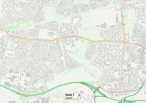
Background imageRelated Images Collection: Halton WA8 7 Map

Halton WA8 7 Map
Postcode Sector Map of Halton WA8 7

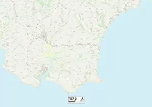
Background imageRelated Images Collection: South Hams TQ7 2 Map

South Hams TQ7 2 Map
Postcode Sector Map of South Hams TQ7 2

Background imageRelated Images Collection: Camden NW3 6 Map

Camden NW3 6 Map
Postcode Sector Map of Camden NW3 6

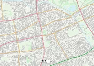
Background imageRelated Images Collection: Tower Hamlets E2 0 Map

Tower Hamlets E2 0 Map
Postcode Sector Map of Tower Hamlets E2 0

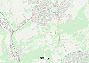
Background imageRelated Images Collection: Caerphilly CF83 1 Map

Caerphilly CF83 1 Map
Postcode Sector Map of Caerphilly CF83 1

Background imageRelated Images Collection: Worthing BN11 4 Map

Worthing BN11 4 Map
Postcode Sector Map of Worthing BN11 4

Background imageRelated Images Collection: Lewes BN7 2 Map

Lewes BN7 2 Map
Postcode Sector Map of Lewes BN7 2

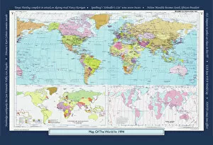
Background imageRelated Images Collection: Historical World Events map 1994 US version

Historical World Events map 1994 US version
A world map originally published in 1994, reproduced from the internationally famousCollins Bartholomew World Through Timehistoric cartographic archive

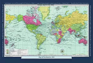
Background imageRelated Images Collection: Historical World Events map 1919 US version

Historical World Events map 1919 US version
A world map originally published in 1919, reproduced from the internationally famousCollins Bartholomew World Through Timehistoric cartographic archive

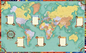
Background imageRelated Images Collection: World Bucket List Map Art

World Bucket List Map Art
Artistic World Bucket-List map to plan your world travels to complete your travel-inspired Bucket-List. A colourful world map showing countries, capital cities

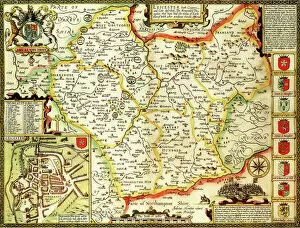
Background imageRelated Images Collection: Leicestershire Historical John Speed 1610 Map

Leicestershire Historical John Speed 1610 Map
A reproduction of John Speeds historical map of the county of Leicestershire. Originally published as part of his atlas called The Theatre of the Empire of Great Britain in 1610

Background imageRelated Images Collection: Norfolk Historical John Speed 1610 Map

Norfolk Historical John Speed 1610 Map
A reproduction of John Speeds historical map of the county of Norfolk. Originally published as part of his atlas called The Theatre of the Empire of Great Britain in 1610

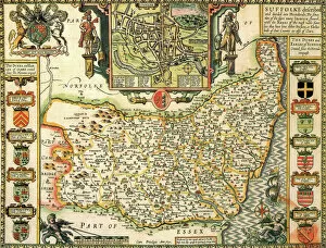
Background imageRelated Images Collection: Suffolk Historical John Speed 1610 Map

Suffolk Historical John Speed 1610 Map
A reproduction of John Speeds historical map of the county of Suffolk. Originally published as part of his atlas called The Theatre of the Empire of Great Britain in 1610

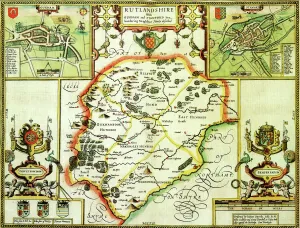
Background imageRelated Images Collection: Rutland Historical John Speed 1610 Map

Rutland Historical John Speed 1610 Map
A reproduction of John Speeds historical map of the county of Rutland. Originally published as part of his atlas called The Theatre of the Empire of Great Britain in 1610

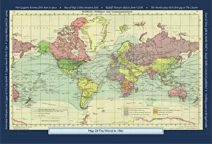
Background imageRelated Images Collection: Historical World Events map 1961 UK version

Historical World Events map 1961 UK version
A world map originally published in 1961, reproduced from the internationally famousCollins Bartholomew World Through Timehistoric cartographic archive

Background imageRelated Images Collection: Devon Historical John Speed 1610 Map

Devon Historical John Speed 1610 Map
A reproduction of John Speeds historical map of the county of Devon. Originally published as part of his atlas called The Theatre of the Empire of Great Britain in 1610

Background imageRelated Images Collection: Brussels City Centre Street Map

Brussels City Centre Street Map
A detailed street level map of central Brussels. Covers from Jette in the north to Ixelles-Elsene in the south and from the Parc du Cinquantenaire in the east to Anderlecht in the west

Background imageRelated Images Collection: Houston City Map

Houston City Map
A street level map of central Houston based on USGS topo map data. Covers from the North Loop Freeway in the north to Riverside Terrace in the south

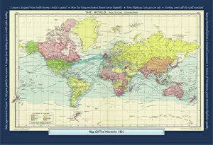
Background imageRelated Images Collection: Historical World Events map 1931 UK version

Historical World Events map 1931 UK version
A world map originally published in 1931, reproduced from the internationally famousCollins Bartholomew World Through Timehistoric cartographic archive

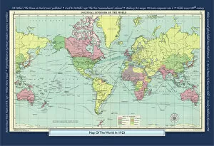
Background imageRelated Images Collection: Historical World Events map 1923 UK version

Historical World Events map 1923 UK version
A world map originally published in 1923, reproduced from the internationally famousCollins Bartholomew World Through Timehistoric cartographic archive

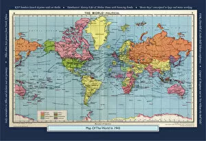
Background imageRelated Images Collection: Historical World Events map 1943 UK version

Historical World Events map 1943 UK version
A world map originally published in 1943, reproduced from the internationally famousCollins Bartholomew World Through Timehistoric cartographic archive

Background imageRelated Images Collection: Boston City Map

Boston City Map
A street level map of central Boston based on USGS topo map data. Covers from Revere in the north to Jamacia Plain in the south and from Cottage Park in the east to Watertown in the west

Background imageRelated Images Collection: Durham Historical John Speed 1610 Map

Durham Historical John Speed 1610 Map
A reproduction of John Speeds historical map of the county of Durham. Originally published as part of his atlas called The Theatre of the Empire of Great Britain in 1610

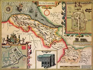
Background imageRelated Images Collection: Flintshire Historical John Speed 1610 Map

Flintshire Historical John Speed 1610 Map
A reproduction of John Speeds historical map of the county of Flintshire. Originally published as part of his atlas called The Theatre of the Empire of Great Britain in 1610

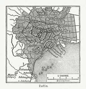
Background imageRelated Images Collection: Historical city map of Tokyo, Japan, woodcut, published 1897

Historical city map of Tokyo, Japan, woodcut, published 1897
Historical map of Tokyo, capital city of Japan. Wood engraving, published in 1897

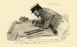
Background imageRelated Images Collection: A Hansen, first officer on the Knivsberg, 1898. Creator: Christian Wilhelm Allers

A Hansen, first officer on the Knivsberg, 1898. Creator: Christian Wilhelm Allers
A Hansen, first officer on the Knivsberg, 1898. Portrait of a German crew member using compasses and parallel rulers to plot the course of the SS Knivsberg through the South China Sea

Background imageRelated Images Collection: Cartouche on W. Mayos Map of Barbados, 1722, (1944). Creator: William Mayo

Cartouche on W. Mayos Map of Barbados, 1722, (1944). Creator: William Mayo
Cartouche on W. Mayos Map of Barbados, 1722, (1944). A New & Exact Map of the Island of Barbadoes in America. According to an Actual & Accurate Survey

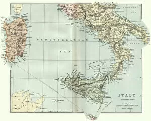
Background imageRelated Images Collection: Antique map of Southern Italy, Sardinia, Sicily, 19th Century

Antique map of Southern Italy, Sardinia, Sicily, 19th Century
Vintage engraving of a Antique map of Southern Italy, Sardinia, Sicily, 19th Century

Background imageRelated Images Collection: Map of Battle of Sedan, it was fought during the Franco-Prussian War from 1 to 2 September 1870

Map of Battle of Sedan, it was fought during the Franco-Prussian War from 1 to 2 September 1870
Illustration of a Battle of Sedan was fought during the Franco-Prussian War from 1 to 2 September 1870. It resulted in the capture of Emperor Napoleon III and large numbers of his troops

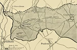
Background imageRelated Images Collection: Map showing approximately the area gained on the Thiepval Ridge... 1916, (c1920)

Map showing approximately the area gained on the Thiepval Ridge... 1916, (c1920)
Map showing approximately the area gained on the Thiepval Ridge between September 14 and October 31, 1916, (c1920). The British line in northern France during the Battle of the Somme

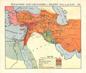
Background imageRelated Images Collection: Byzantine and Crusaders v. Seljuks, circa 1130 A. D. c1915. Creator: Emery Walker Ltd

Byzantine and Crusaders v. Seljuks, circa 1130 A. D. c1915. Creator: Emery Walker Ltd
Byzantine and Crusaders v. Seljuks, circa 1130 A.D. c1915. Map of civilisations in the Middle East during the 12th century: Byzantine, other Christian states, Abbasid Caliphate, Seljuks, Fatimids

Background imageRelated Images Collection: Modern Night Sky Constellation - Aquarius

Modern Night Sky Constellation - Aquarius
Simple, modern depiction of a celestial constellation on a navy backdrop. Aquarius is located near other water-related constellations: Cetus (the whale), Pisces (the fish)

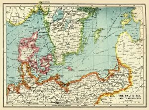
Background imageRelated Images Collection: The Baltic Sea and Its Approaches, First World War, c1915, (c1920)

The Baltic Sea and Its Approaches, First World War, c1915, (c1920). Map of part of northern Europe, showing sections of the coasts of Norway, Sweden, Russia, Germany and Denmark

Background imageRelated Images Collection: Antique map, North America, Canada and USA, 1884, 19th Century

Antique map, North America, Canada and USA, 1884, 19th Century
Vintage engraving of Antique map, North America, Canada and USA, 1884, 19th Century

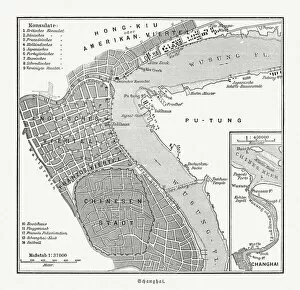
Background imageRelated Images Collection: Historical city map of Shanghai, China, wood engraving, published 1897

Historical city map of Shanghai, China, wood engraving, published 1897
Historical city map of Shanghai, China. Wood engraving, published in 1897

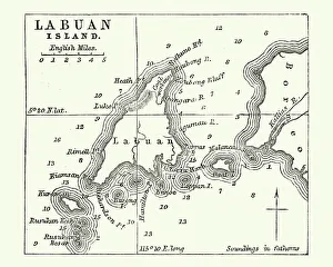
Background imageRelated Images Collection: Map of Labuan Island, Malaysia, 19th Century

Map of Labuan Island, Malaysia, 19th Century
Vintage engraving of Map of Labuan Island, Malaysia, 19th Century


All Professionally Made to Order for Quick Shipping


-

Why Choose Us?

We are a leading provider of Art Prints and Photo Gifts since 2003, working in partnership with a range of Sporting Clubs, Charities, Museums and Picture Libraries. A large share of profits from any of their images will go directly towards supporting that charity or club. Our archive of images is carefully curated to bring you a wide range of subjects, including landscapes, wildlife, architecture, and more. We ship from our partner labs in the UK, USA, EU (Netherlands) and Australia.
+

How do I place an order?

Ordering is quick & easy - Just follow 5 Simple Steps:
  1. Find your image: Use our search box or browse our online photo Collections to find the image you want.

  2. Choose your print format: Select your desired product and add it to your cart.

  3. Enter your details: If you're a returning customer, simply enter your email address and password, and we'll fill in your billing and shipping address details. All personal details are held securely and are fully GDPR compliant. As standard, we remove all Personally Identifiable Information after 12 months.

  4. Pay for your purchase: We use state-of-the-art security for online shopping and do not have access to your card details.

  5. Sit back and relax: We'll email you confirmation of your order and when it's dispatched. Registered customers can also track orders in the 'My Account' area.

+

How do I pay for an order?

You can pay for your order with most of the major credit and debit cards, or PayPal. For added security, major financial institutions process payment details separately and securely on our behalf. We do not have access to your online payment card details. Online payments are preferred however we do take phone orders. For UK customers only we accept cheques issued against a UK bank.
+

Is my data safe?

We take data security very seriously. We do not have access to your full card details and all payments are requested over a fully secure connection. Additionally, we fully comply with current European and GDPR legislation, and automatically remove all personal data after at most 12 months (unless you have an account with us and have signed in recently). We also have a strict opt-in policy and would never sell your personal details. Your data is only used to fulfill your order promptly and efficiently.
+

Is wall art ready to hang?

For quick and easy installation all wall art, including framed prints, canvas prints and metal prints are supplied with a ready to hang solution on the back. Generally, saw tooth hangers are applied as they allow wall art to hang flush against the wall. The serrated edge of the hanger prevents the frame from shifting or tilting when hung.
+

Are the photo prints fade resistant?

Yes, we use archival quality photo paper photographic paper for vivid reproduction Prints are an accurate representations of the original artwork, which is preserved for artistic character and authenticity. We guarantee they match previews shown on our web site