Glass Place Mat > Arts > Artists > O > Oceanic Oceanic
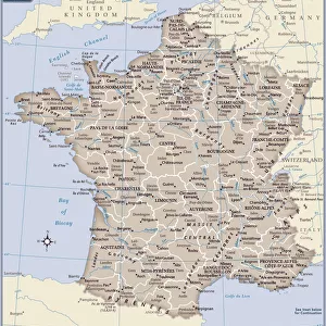
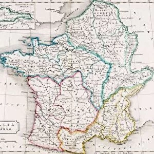
Glass Place Mat : Map of France


![]()
Home Decor from Fine Art Storehouse
Map of France
Unleash your creativity and transform your space into a visual masterpiece!
Dorling Kindersley
Media ID 13558825
© This content is subject to copyright
Country Geography National Flag National Flags Regions Gallic
Glass Place Mat (Set of 4)
Set of 4 Glass Place Mats. Stylish and elegant polished safety glass, toughened and heat resistant (275x225mm, 7mm thick). Matching Coasters also available.
Set of 4 Glass Place Mats. Elegant polished safety glass and heat resistant. Matching Coasters may also be available
Estimated Image Size (if not cropped) is 25.4cm x 17.7cm (10" x 7")
Estimated Product Size is 27.5cm x 22.5cm (10.8" x 8.9")
These are individually made so all sizes are approximate
FEATURES IN THESE COLLECTIONS
> Fine Art Storehouse
> Photo Libraries
> Dorling Kindersley Prints
> Arts
> Artists
> O
> Oceanic Oceanic
> Arts
> Landscape paintings
> Landscape art
> Landscape paintings
> Europe
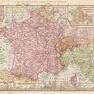
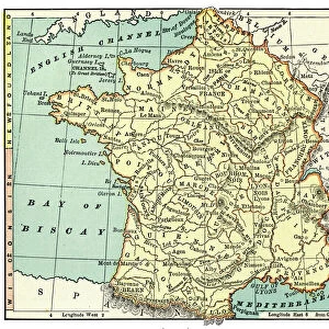
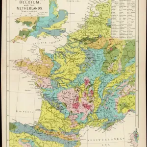
> Related Images
> Maps and Charts
> Related Images
EDITORS COMMENTS
This vibrant and detailed print captures the essence of France in a single frame. The "Map of France" is an exquisite representation of this country, showcasing its diverse landscapes and rich cultural heritage. From the stunning coastline to the picturesque regions, every aspect is beautifully illustrated with precision. The colors used in this map are simply breathtaking - each region stands out vividly against the pristine white background. The coastal areas are depicted with utmost accuracy, allowing us to envision ourselves strolling along sandy beaches or gazing at the vastness of the ocean. What makes this artwork truly remarkable is how it seamlessly blends geography and national pride. National flags elegantly adorn each region, symbolizing unity amidst diversity. It serves as a reminder that despite being geographically distinct, all these regions come together under one flag - representing Gallic spirit and French identity. Dorling Kindersley has masterfully employed illustration techniques to create a visually striking piece that not only educates but also captivates viewers. This horizontal composition invites exploration as we trace our fingers across borders and delve into different parts of France's physical geography. Whether you're an avid traveler or simply appreciate fine art, this print will transport you to the enchanting world of France – a land filled with history, beauty, and endless possibilities for discovery.
MADE IN THE UK
Safe Shipping with 30 Day Money Back Guarantee
FREE PERSONALISATION*
We are proud to offer a range of customisation features including Personalised Captions, Color Filters and Picture Zoom Tools
SECURE PAYMENTS
We happily accept a wide range of payment options so you can pay for the things you need in the way that is most convenient for you
* Options may vary by product and licensing agreement. Zoomed Pictures can be adjusted in the Basket.